Road Stream Crossing Site PM_O024
Pere Marquette River Watershed, Freeman Creek
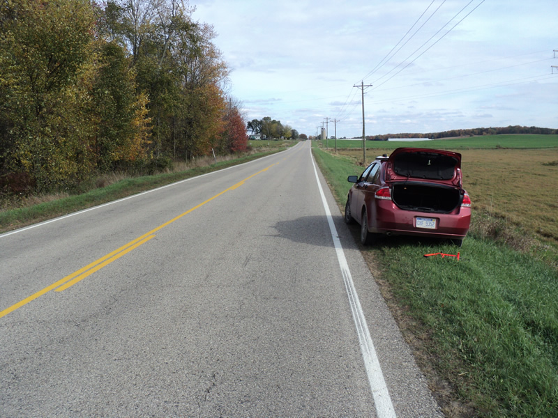
Jackson Rd
Colfax Twp,
Oceana County
Information collected by:
Site Location
GPS Coordinates: 43.74292
, -86.06181
T16N
R15W
Sec 26
Owned by Private
Fish Passability 0.5
Total Erosion: 0.2406 tons/year
Severity: Moderate
Year Inventoried: 2014
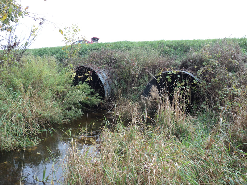
Inlet
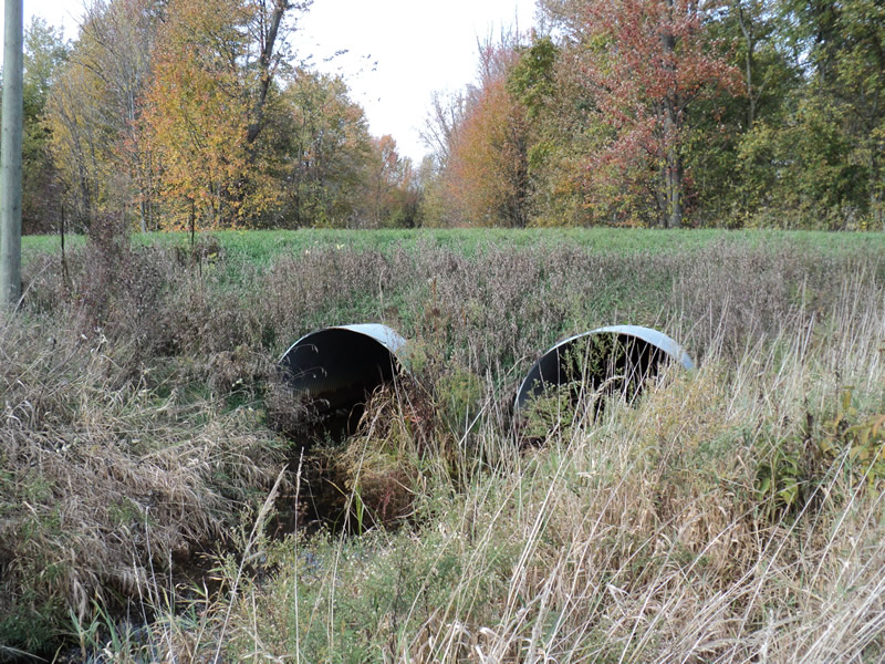
Outlet
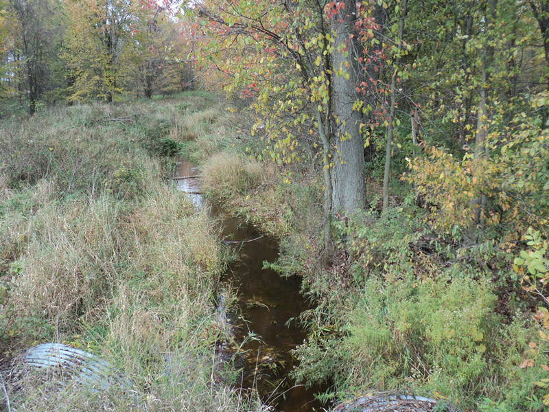
Upstream Conditions
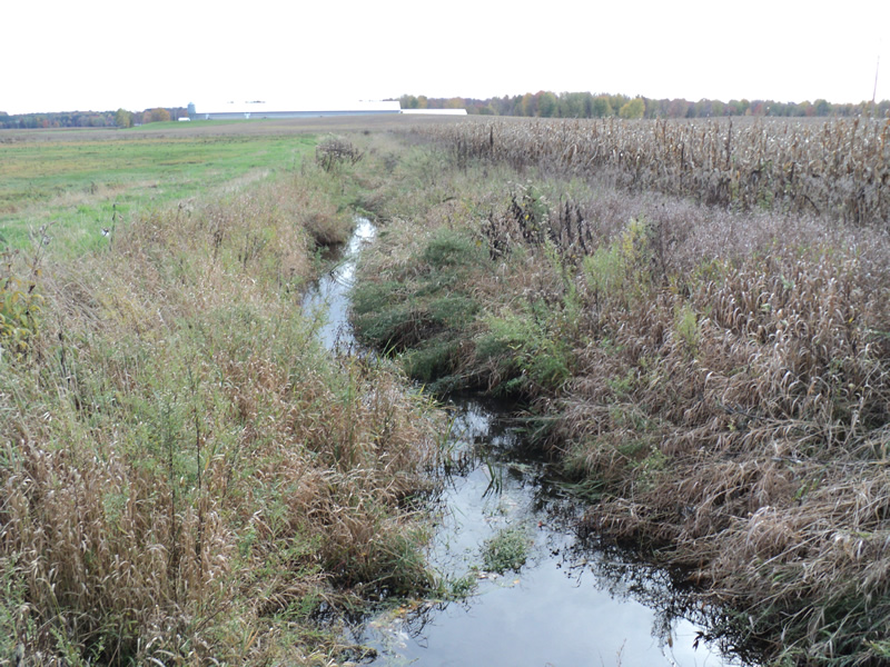
Downstream Conditions
Road Approach - Left
Road Approach - Right
Crossing Information
Type of Crossing: culvert(s)
Number of Structures: 2
Structure Shape: Pipe Arch
Inlet Type: Projecting
Outlet Type: At Stream Grade
Structure Material: Metal
Structure Substrate: None
General Conditions: Good
Structure Interior: corrugated
Dimensions of Structure: Length 60 ft.
, Width 7.2 ft.
, Height 5.2 ft.
Structure Inlet
Water Depth: 0.9 ft.
Water Velocity*: 0.6 ft./sec.
Structure Outlet
Water Depth: 0.7 ft.
Water Velocity*: 0.5 ft./sec.
*Water Velocities were measured 0.7 ft. below Surface
(with Meter)
Stream Information
Stream Flow: Less than Bankfull
Riffle Information
Water Depth: 0.9 ft.
Bankfull Width: 8.5 ft.
Wetted Width: 8 ft.
Water Velocity: 0.5 ft./sec.
(Measured with Meter)
Dominant Substrate: Sand
Road Information
Paved
County Road
Road Condition: Good
Road Width at Culvert: 26 ft.
Location of Low Point: At Stream
Runoff Path: Ditch
Embankments
Upstream
Fill Depth: 4 ft.
Slope: Vertical
Downstream
Fill Depth: 4 ft.
Slope: 1:1
Approaches
Left Approach
Length: 250 ft.
Slope: 1% to 5%
Vegetation: Heavy
LS Factor: 0.44
Erosion: 0.0945 tons/year
Right Approach
Length: 360 ft.
Slope: 1% to 5%
Vegetation: Heavy
LS Factor: 0.472
Erosion: 0.146 tons/year
Erosion Information
Total Erosion at Crossing: 0.2406 tons/year
Summary Information
Fish Passability 0.5
�