Road Stream Crossing Site PM_O026
Pere Marquette River Watershed, Freeman Creek
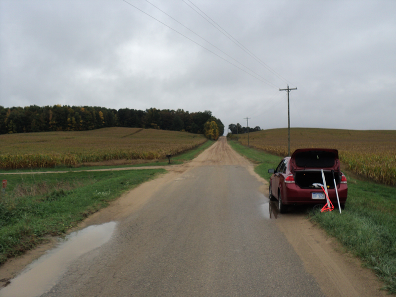
Maple Island Rd
Colfax Twp,
Oceana County
Information collected by:
Site Location
GPS Coordinates: 43.74102
, -86.03916
T16N
R15W
Sec 36
Owned by Private
Fish Passability 0.9
Total Erosion: 0.2701 tons/year
Severity: Minor
Year Inventoried: 2014
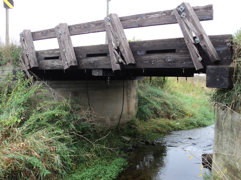
Inlet
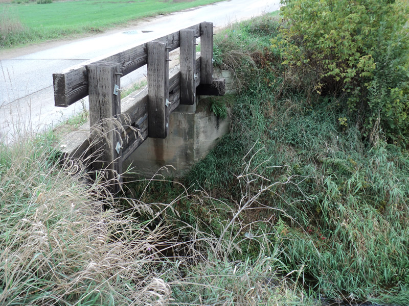
Outlet
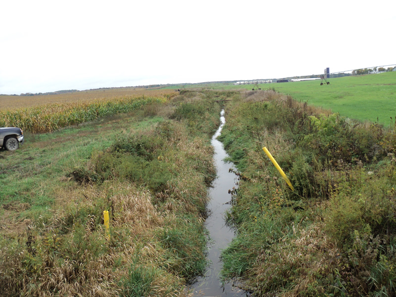
Upstream Conditions
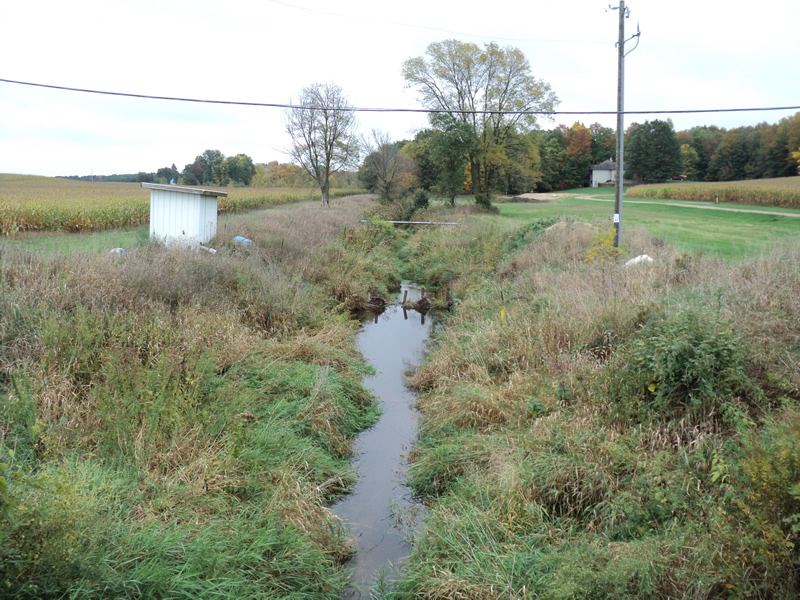
Downstream Conditions

Road Approach - Left
Road Approach - Right
Crossing Information
Type of Crossing: Bridge
Structure Shape: Open Bottom Square/Rectangle
Inlet Type: Wingwall 10-30 Degree
Outlet Type: At Stream Grade
Structure Material: Concrete
Structure Substrate: Mixture
General Conditions: Fair
Dimensions of Structure: Length 19 ft.
, Width 20 ft.
, Height 9 ft.
Structure Inlet
Water Depth: 0.6 ft.
Water Velocity*: 0.9 ft./sec.
Structure Outlet
Water Depth: 0.4 ft.
Water Velocity*: 1.1 ft./sec.
*Water Velocities were measured 0.4 ft. below Surface
(with Meter)
Additional Comments
Stream used to irrigate surrounding fields
concrete foundation with wooden road surface
Stream Information
Stream Flow: Less than Bankfull
Riffle Information
Water Depth: 0.5 ft.
Bankfull Width: 8 ft.
Wetted Width: 7 ft.
Water Velocity: 0.8 ft./sec.
(Measured with Meter)
Dominant Substrate: Sand
Road Information
Paved
County Road
Road Condition: Fair
Road Width at Culvert: 19 ft.
Location of Low Point: Other
Runoff Path: Roadway
Approaches
Left Approach
Length: 300 ft.
Slope: 6% to 10%
Vegetation: Heavy
LS Factor: 1.4
Erosion: 0.2638 tons/year
Right Approach
Length: 200 ft.
Slope: Less Than 1%
Vegetation: Heavy
LS Factor: 0.05
Erosion: 0.0063 tons/year
Erosion Information
Total Erosion at Crossing: 0.2701 tons/year
Notes: designated county drain
Summary Information
Fish Passability 0.9
�