Road Stream Crossing Site PM_O035
Pere Marquette River Watershed, Beaver Creek
180th Ave
Leavitt Twp,
Oceana County
Information collected by:
Site Location
GPS Coordinates: 43.71928
, -86.10836
T15N
R15W
Sec 4
Owned by Private
Fish Passability 0.5
Total Erosion: 0.974 tons/year
Severity: Moderate
Year Inventoried: 2014
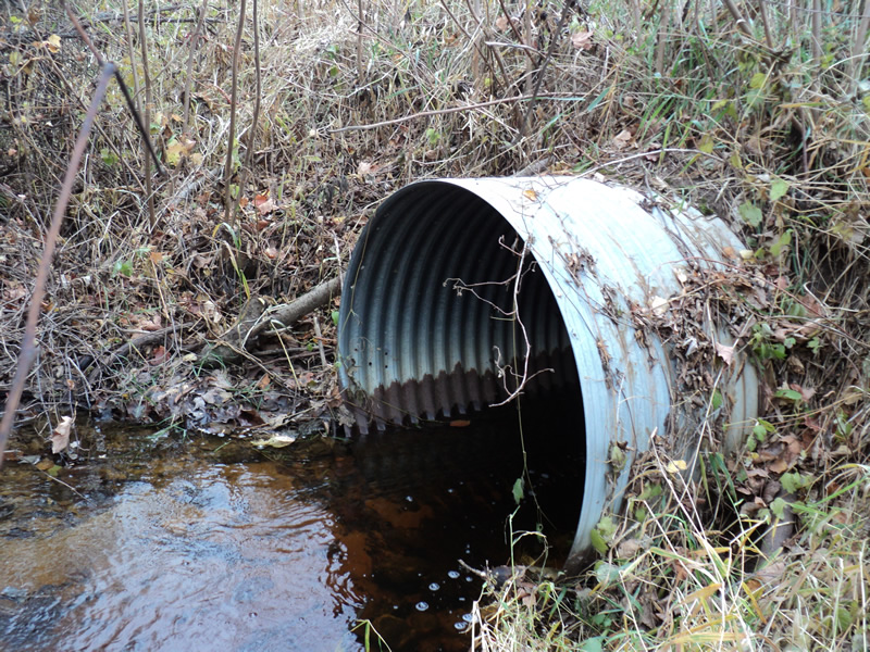
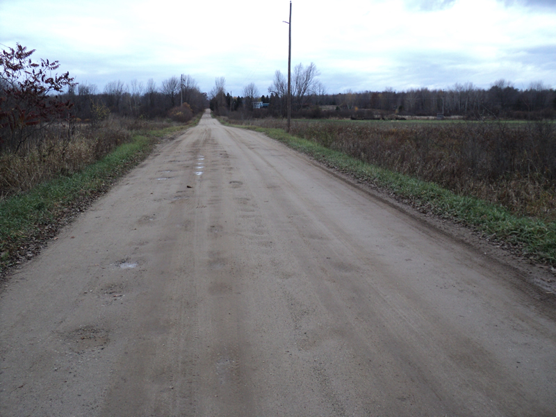
Inlet
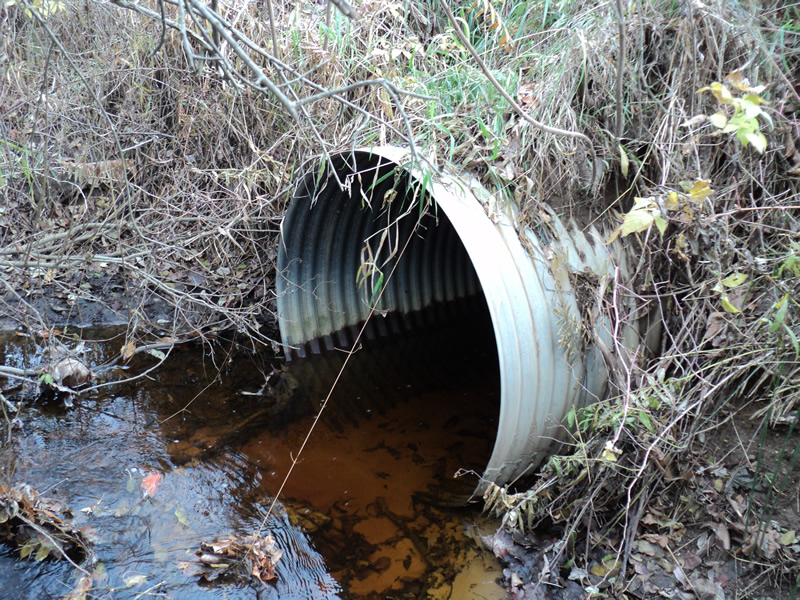
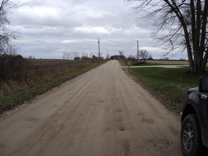
Outlet
Upstream Conditions
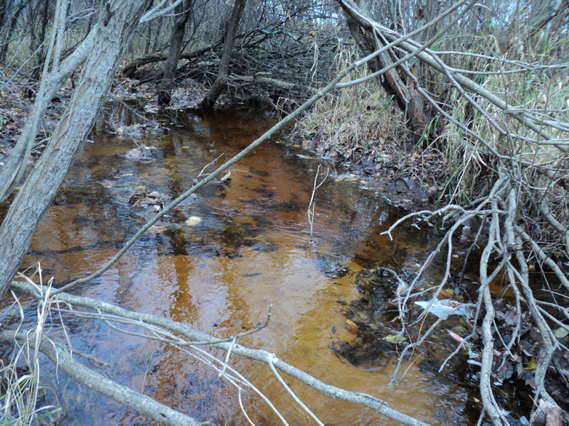
Downstream Conditions
Road Approach - Left
Road Approach - Right
Crossing Information
Type of Crossing: culvert(s)
Number of Structures: 1
Structure Shape: Round
Inlet Type: Projecting
Outlet Type: At Stream Grade
Structure Material: Metal
Structure Substrate: None
General Conditions: Good
Structure Interior: corrugated
Dimensions of Structure: Length 40 ft.
, Width 4 ft.
, Height 4 ft.
Structure Inlet
Water Depth: 0.9 ft.
Water Velocity*: 0.8 ft./sec.
Structure Outlet
Water Depth: 0.8 ft.
Water Velocity*: 0.8 ft./sec.
*Water Velocities were measured 0.7 ft. below Surface
(with Meter)
Stream Information
Stream Flow: Bankfull
Riffle Information
Water Depth: 0.8 ft.
Bankfull Width: 7 ft.
Wetted Width: 7 ft.
Water Velocity: 0.8 ft./sec.
(Measured with Meter)
Dominant Substrate: Sand
Road Information
Gravel
County Road
Road Condition: Good
Road Width at Culvert: 18 ft.
Location of Low Point: Other
Runoff Path: Ditch
Embankments
Upstream
Fill Depth: 3.4 ft.
Slope: 1:1.5
Downstream
Fill Depth: 2.7 ft.
Slope: 1:1
Approaches
Left Approach
Length: 200 ft.
Slope: Less Than 1%
Vegetation: Heavy
LS Factor: 0.05
Erosion: 0.0496 tons/year
Right Approach
Length: 390 ft.
Slope: 1% to 5%
Vegetation: Heavy
LS Factor: 0.478
Erosion: 0.9244 tons/year
Erosion Information
Total Erosion at Crossing: 0.974 tons/year
Summary Information
Fish Passability 0.5
�