Road Stream Crossing Site C02
Carp River Watershed, Carp River
Reed Rd
Carp Lake Twp,
Emmet County
Information collected by:
Site Location
GPS Coordinates: 45.67702
, -84.79202
T38N
R4W
Sec 21
Owned by Private
Structure is NOT Perched
Total Erosion: 0.4959 tons/year
Severity: Restored
Year Inventoried: 2021
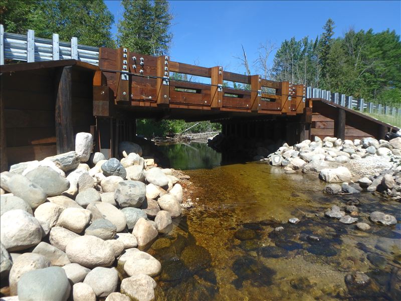
Inlet
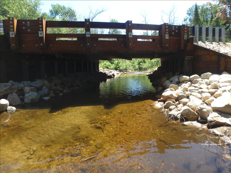
Outlet
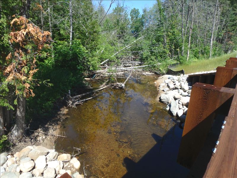
Upstream Conditions
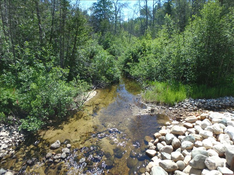
Downstream Conditions
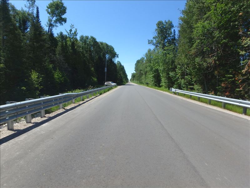
Road Approach - Left
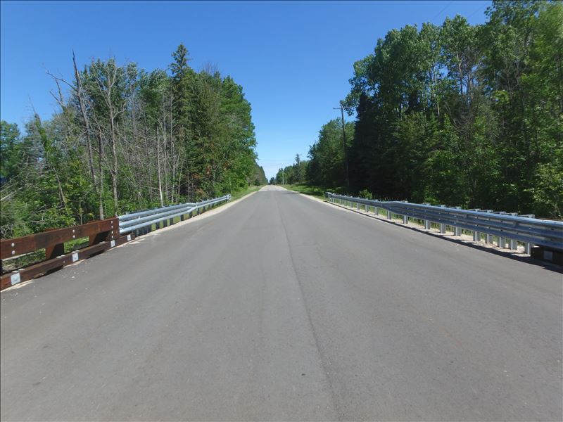
Road Approach - Right
Crossing Information
Type of Crossing: Bridge
Structure Shape: Open Bottom Square/Rectangle
Inlet Type: Wingwall 30-70 Degree
Outlet Type: At Stream Grade
Structure Material: Wood
Structure Substrate: Gravel
General Conditions: New
Structure Interior: corrugated
Dimensions of Structure: Length 36 ft.
, Width 26 ft.
, Height 7.6 ft.
Structure is NOT Perched
Structure Inlet
Water Depth: 1.2 ft.
Embedded Depth of Structure: 0 ft.
Water Velocity*: 0.7 ft./sec.
Structure Outlet
Water Depth: 1.4 ft.
Embedded Depth of Structure: 0 ft.
Water Velocity*: 0.3 ft./sec.
*Water Velocities were measured 0.7 ft. below Surface
(with Meter)
Stream Information
Stream Flow: Less than 1/2 Bankfull
Scour Pool: Length 0 ft.
, Width 0 ft.
, Depth 0 ft.
Upstream Pond: Length 0 ft.
, Width 0 ft.
, Depth 0 ft.
Riffle Information
Water Depth: 0.5 ft.
Bankfull Width: 26.5 ft.
Wetted Width: 14.5 ft.
Water Velocity: 1.1 ft./sec.
(Measured with Meter)
Dominant Substrate: Sand
Road Information
Paved
County Road
Road Condition: Good
Road Width at Culvert: 30 ft.
Location of Low Point: At Stream
Runoff Path: Ditch
Fill Depth: 0 ft.
Slope: Vertical
Fill Depth: 0 ft.
Slope: Vertical
Approaches
Left Approach
Length: 500 ft.
Slope: 1% to 5%
Vegetation: Heavy
LS Factor: 0.5
Erosion: 0.2479 tons/year
Right Approach
Length: 500 ft.
Slope: 1% to 5%
Vegetation: Heavy
LS Factor: 0.5
Erosion: 0.2479 tons/year
Erosion Information
Total Erosion at Crossing: 0.4959 tons/year
Extent of Erosion: Stabilized
Summary Information
These non-native species were observerd at this site: Queen Anne's Lace
�