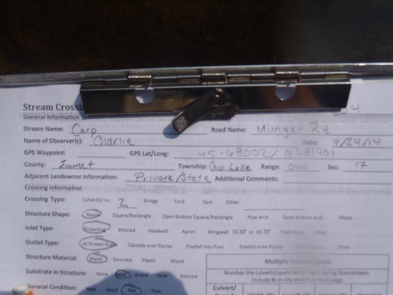
Road Stream Crossing Site C04
Carp River Watershed, Carp River
Munger Rd
Carp Lake Twp,
Emmet County
Information collected by:
Site Location
GPS Coordinates: 45.68002
, -84.81401
T38N
R4W
Sec 17
Owned by State
Private
Private
Fish Passability 0.9
Structure is NOT Perched
Total Erosion: 1.924 tons/year
Severity: Moderate
Year Inventoried: 2014
Site ID
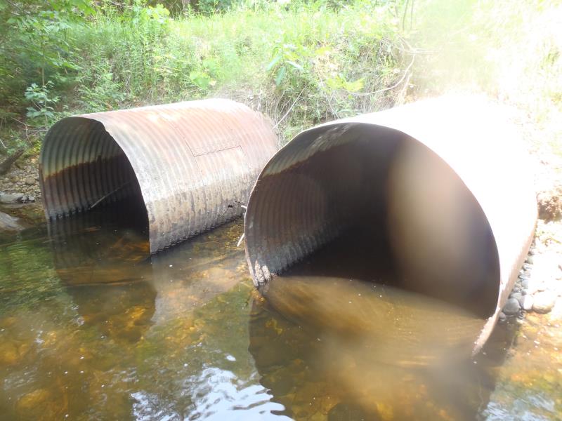
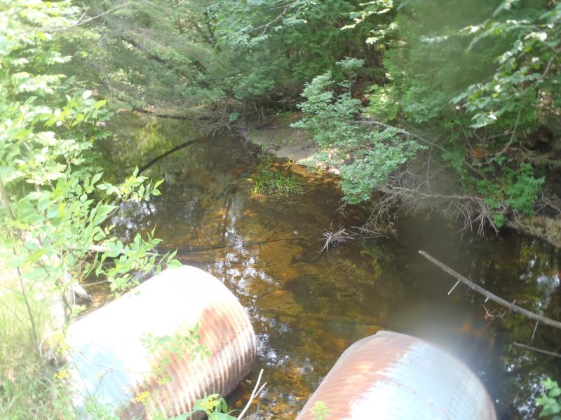
Inlet
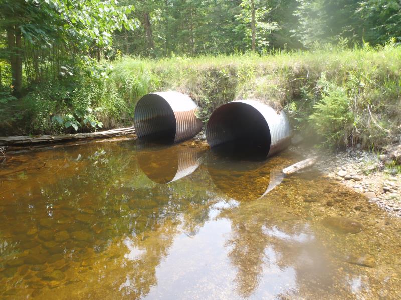
Outlet
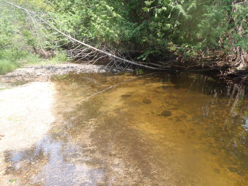
Upstream Conditions
Downstream Conditions
Road Approach - Left
Road Approach - Right
Crossing Information
Type of Crossing: culvert(s)
Number of Structures: 2
Structure Shape: Round
Inlet Type: Projecting
Outlet Type: At Stream Grade
Structure Material: Metal
Structure Substrate: Sand
General Conditions: Fair
Multiple Culverts/Spans | ||||
Culvert/Span | Width | Length | Height | Material |
1 |
4 ft. |
35 ft. |
4 ft. |
Metal |
2 |
4 ft. |
35 ft. |
4 ft. |
Metal |
Structure Interior: corrugated
Dimensions of Structure: Length 35 ft.
, Width 4 ft.
, Height 4 ft.
Structure is NOT Perched
Structure Inlet
Water Depth: 1 ft.
Embedded Depth of Structure: 0 ft.
Water Velocity*: 0.2 ft./sec.
Structure Outlet
Water Depth: 1 ft.
Embedded Depth of Structure: 0 ft.
Water Velocity*: 0.3 ft./sec.
*Water Velocities were measured 0.3 ft. below Surface
(with Meter)
Stream Information
Stream Flow: Less than Bankfull
Scour Pool: Length 20 ft.
, Width 8 ft.
, Depth 3 ft.
Riffle Information
Water Depth: 0.5 ft.
Bankfull Width: 30 ft.
Wetted Width: 17 ft.
Water Velocity: 2.2 ft./sec.
(Measured with Meter)
Dominant Substrate: Gravel
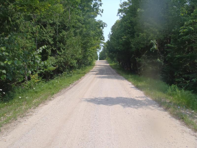
Road Information
Sand
County Road
(Seasonal)
Road Condition: Poor
Road Width at Culvert: 18 ft.
Location of Low Point: At Stream
Runoff Path: Ditch
Embankments
Upstream
Fill Depth: 2.5 ft.
Slope: Vertical
Downstream
Fill Depth: 2.5 ft.
Slope: Vertical
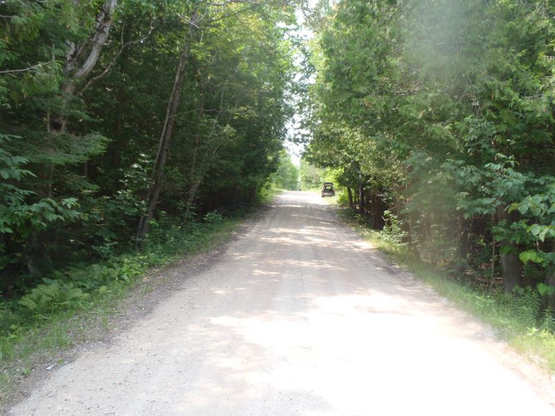
Approaches
Left Approach
Length: 300 ft.
Slope: 1% to 5%
Vegetation: Heavy
LS Factor: 0.46
Erosion: 0.6843 tons/year
Right Approach
Length: 500 ft.
Slope: 1% to 5%
Vegetation: Heavy
LS Factor: 0.5
Erosion: 1.2397 tons/year
Erosion Information
Total Erosion at Crossing: 1.924 tons/year
Summary Information
Fish Passability 0.9
�