Road Stream Crossing Site BL-42
Maple River Watershed, Maple River
Woodland Rd
Maple River Twp,
Emmet County
Information collected by:
Site Location
GPS Coordinates: 45.52908
, -84.77529
T36N
R4W
Sec 10
Owned by Private
Total Erosion: 0.291 tons/year
Severity: Restored
Year Inventoried: 2019
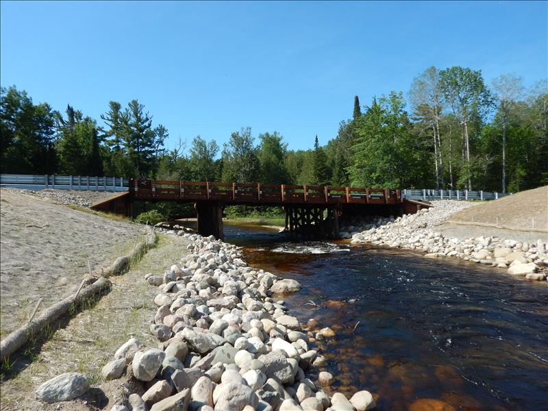
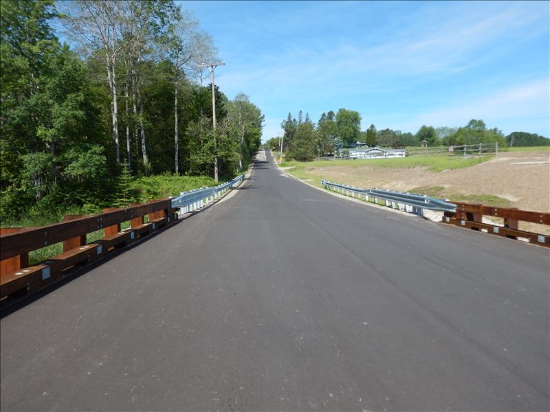
Inlet
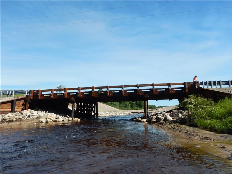
Outlet
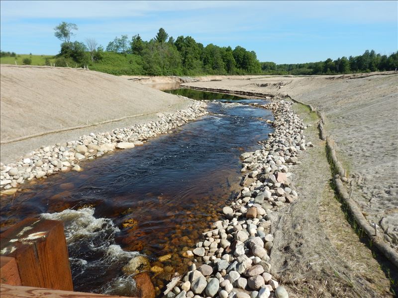
Upstream Conditions
Downstream Conditions
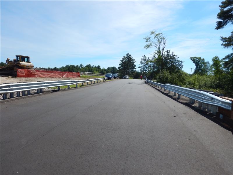
Road Approach - Left
Road Approach - Right
Crossing Information
Type of Crossing: Bridge
Structure Shape: Open Bottom Square/Rectangle
Inlet Type: Wingwall 10-30 Degree
Outlet Type: At Stream Grade
Structure Material: Wood
Structure Substrate: Rock
General Conditions: New
Structure Interior: smooth
Dimensions of Structure: Length 33 ft.
, Width 70 ft.
, Height 12.5 ft.
Structure Inlet
Water Depth: 3 ft.
Embedded Depth of Structure: 0 ft.
Water Velocity*: 3 ft./sec.
Structure Outlet
Water Depth: 2.5 ft.
Embedded Depth of Structure: 0 ft.
Water Velocity*: 5.7 ft./sec.
*Water Velocities were measured 2 ft. below Surface
(with Meter)
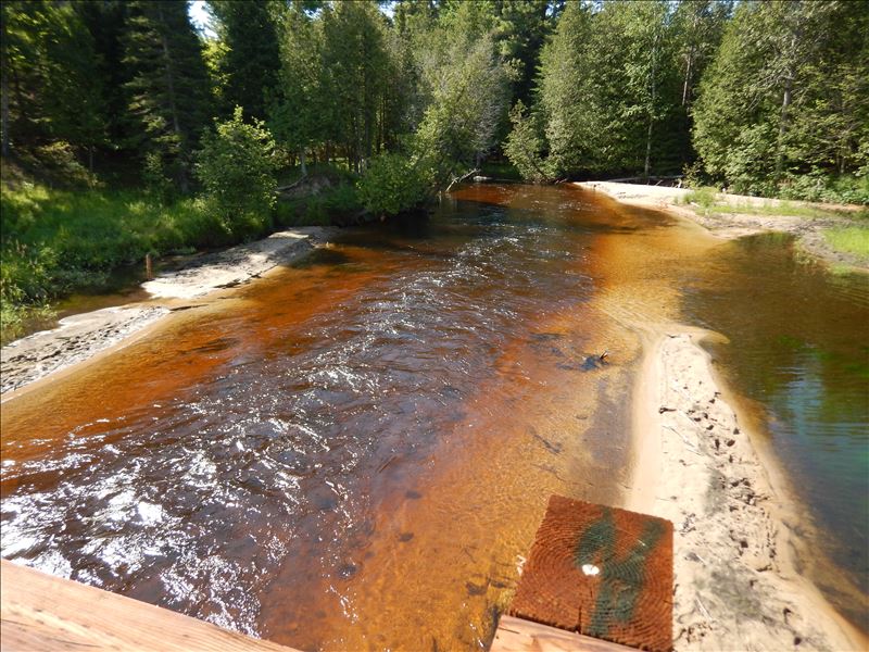
Additional Comments
Site restored in 2018. For more information see the fact sheet or visit www.rivercare.org Lake Kathleen Dam Removal Project
Stream Information
Stream Flow: Less than Bankfull
Riffle Information
Water Depth: 2 ft.
Bankfull Width: 36 ft.
Wetted Width: 36 ft.
Water Velocity: 3.3 ft./sec.
(Measured with Meter)
Dominant Substrate: Gravel
Road Information
Paved
County Road
Road Condition: Good
Road Width at Culvert: 33 ft.
Location of Low Point: Other
Runoff Path: Roadway
Fill Depth: 0 ft.
Slope: More than 1:2
Fill Depth: 0 ft.
Slope: More than 1:2
Approaches
Left Approach
Length: 260 ft.
Slope: 1% to 5%
Vegetation: Partial
LS Factor: 0.526
Erosion: 0.1492 tons/year
Right Approach
Length: 250 ft.
Slope: 1% to 5%
Vegetation: Partial
LS Factor: 0.52
Erosion: 0.1418 tons/year
Erosion Information
Total Erosion at Crossing: 0.291 tons/year
Extent of Erosion: Stabilized
Summary Information
Erosion is an area of concern for this site.
�