Road Stream Crossing Site BL-43
Maple River Watershed, East Branch Maple River
Robinson Rd
McKinley Twp,
Emmet County
Information collected by:
Site Location
GPS Coordinates: 45.55104
, -84.75139
T37N
R4W
Sec 36
Owned by Other
Structure is NOT Perched
Total Erosion: 0.3491 tons/year
Severity: Severe
Year Inventoried: 2014
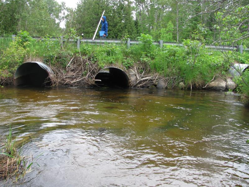
Inlet
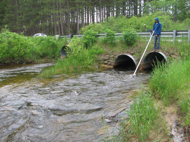
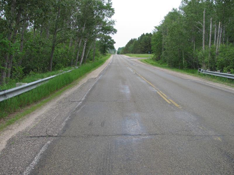
Outlet
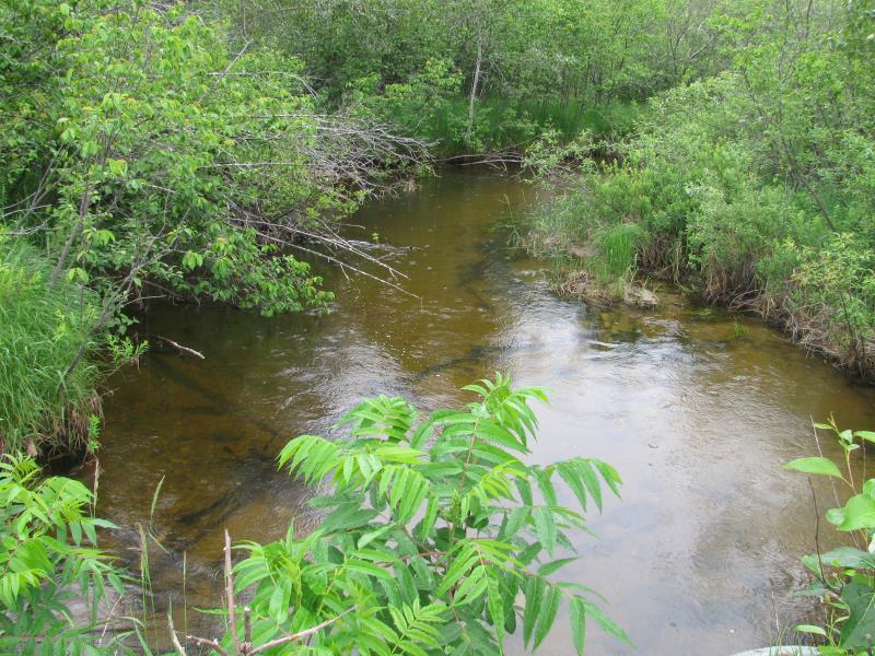
Upstream Conditions
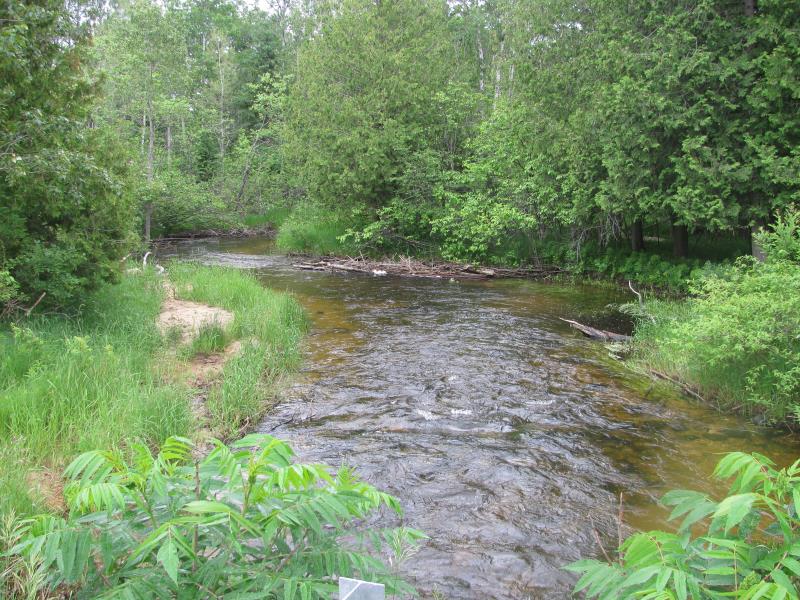
Downstream Conditions
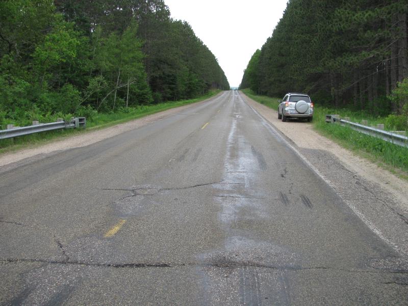
Road Approach - Left
Road Approach - Right
Crossing Information
Type of Crossing: culvert(s)
Number of Structures: 3
Structure Shape: Ellipse
Inlet Type: Projecting
Outlet Type: At Stream Grade
Structure Material: Metal
Structure Substrate: None
General Conditions: Fair
Multiple Culverts/Spans | ||||
Culvert/Span | Width | Length | Height | Material |
1 |
4.9 ft. |
40 ft. |
5.25 ft. |
Metal |
2 |
4.9 ft. |
40 ft. |
5.25 ft. |
Metal |
3 |
4.9 ft. |
40 ft. |
5.25 ft. |
Metal |
Structure Interior: corrugated
Dimensions of Structure: Length 40 ft.
, Width 4.9 ft.
, Height 5.25 ft.
Structure is NOT Perched
Structure Inlet
Water Depth: 2.7 ft.
Embedded Depth of Structure: 0 ft.
Water Velocity*: 3.2 ft./sec.
Structure Outlet
Water Depth: 2 ft.
Embedded Depth of Structure: 0 ft.
Water Velocity*: 3.2 ft./sec.
*Water Velocities were measured 0.3 ft. below Surface
(with Meter)
Additional Comments
Landowner is U of M.
Stream Information
Stream Flow: Less than Bankfull
Scour Pool: Length 0 ft.
, Width 0 ft.
, Depth 0 ft.
Upstream Pond: Length 0 ft.
, Width 0 ft.
, Depth 0 ft.
Riffle Information
Water Depth: 1.4 ft.
Bankfull Width: 35 ft.
Wetted Width: 30 ft.
Water Velocity: 4 ft./sec.
(Measured with Meter)
Dominant Substrate: Gravel
Road Information
Paved
County Road
Road Condition: Fair
Road Width at Culvert: 24 ft.
Location of Low Point: Other
Runoff Path: Ditch
Embankments
Upstream
Fill Depth: 2 ft.
Slope: More than 1:2
Downstream
Fill Depth: 1.5 ft.
Slope: More than 1:2
Approaches
Left Approach
Length: 0 ft.
Slope: Less Than 1%
Vegetation: Heavy
LS Factor: 0.05
Erosion: 0 tons/year
Right Approach
Length: 800 ft.
Slope: 1% to 5%
Vegetation: Heavy
LS Factor: 0.55
Erosion: 0.3491 tons/year
Erosion Information
Total Erosion at Crossing: 0.3491 tons/year
Extent of Erosion: Moderate
Location of Erosion | Erosion Dimensions | Eroded Material | Material Eroded | Total Erosion | ||
facing downstream | Length | Width | Depth | Reaching Stream? | (tons/year) | |
Right Downstream Embankment |
50 ft. |
1 ft. |
2 ft. |
no |
Sand |
|
Summary Information
Fish Passage is an area of concern for this site.
Yes, high velocities.
A future visit to this site is recommended.
Yes, to monitor site conditions.
�