Road Stream Crossing Site E30
Maple River Watershed, Tributary of West Branch Maple River
Tower Rd
Emmet County
Information collected by:
Site Location
GPS Coordinates: 45.53941
, -84.8226
T36N
R4W
Sec 5
Owned by Private
Structure is NOT Perched
Total Erosion: 0.0251 tons/year
Severity: Moderate
Year Inventoried: 2014
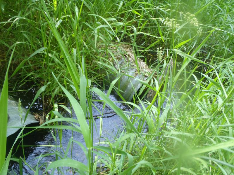
Inlet
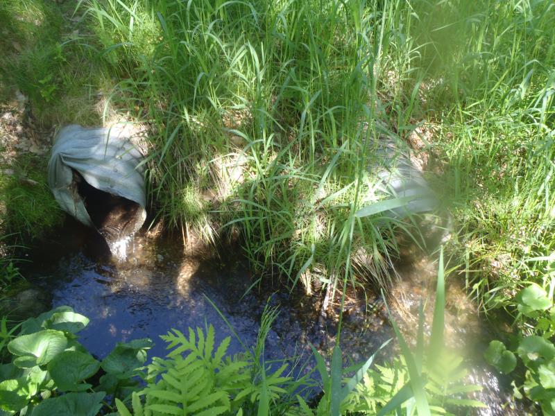
Outlet
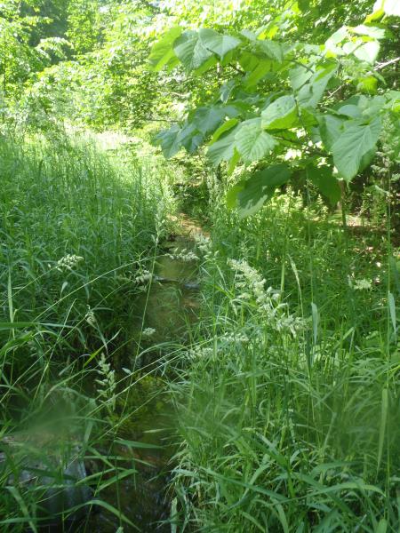
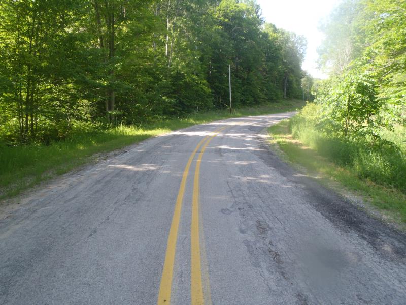
Upstream Conditions
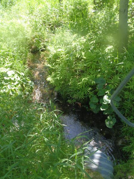
Downstream Conditions
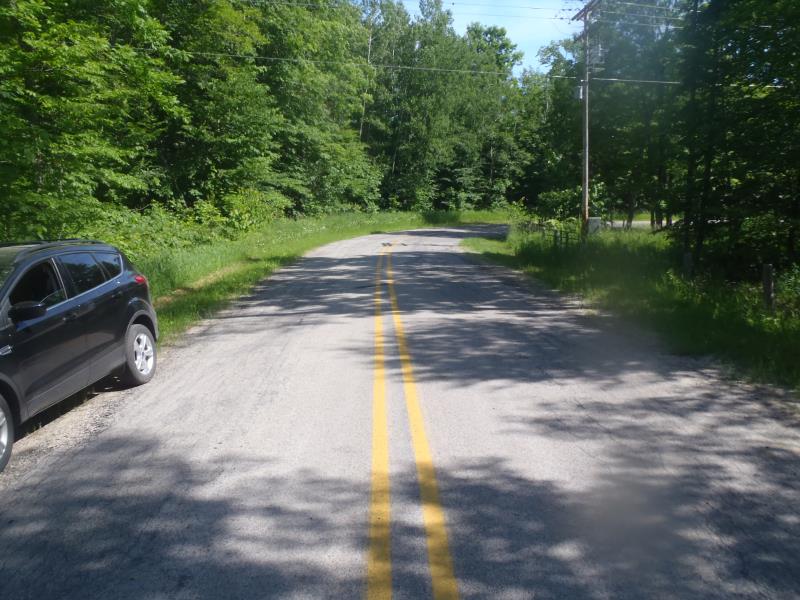
Road Approach - Left
Road Approach - Right
Crossing Information
Type of Crossing: culvert(s)
Number of Structures: 2
Structure Shape: Round
Inlet Type: Projecting
Outlet Type: At Stream Grade
Structure Material: Metal
Structure Substrate: None
General Conditions: Fair
Multiple Culverts/Spans | ||||
Culvert/Span | Width | Length | Height | Material |
1 |
1.3 ft. |
45 ft. |
1.3 ft. |
Metal |
1 |
1.3 ft. |
45 ft. |
1.3 ft. |
Metal |
Structure Interior: corrugated
Dimensions of Structure: Length 45 ft.
, Width 1.3 ft.
, Height 1.3 ft.
Percentage Plugged:
Inlet: 26% to 50%
Outlet: 0%
In Pipe: 0%
Percentage Crushed:
Inlet: 0%
Outlet: 1% to 25%
In Pipe: 0%
Structure is NOT Perched
Structure Inlet
Water Depth: 0.4 ft.
Embedded Depth of Structure: 0 ft.
Water Velocity*: 1.7 ft./sec.
Structure Outlet
Water Depth: 0.4 ft.
Embedded Depth of Structure: 0 ft.
Water Velocity*: 2.8 ft./sec.
*Water Velocities were measured 0.3 ft. below Surface
(with Meter)
Additional Comments
Culvert #2 is perched.
Stream Information
Stream Flow: Less than Bankfull
Scour Pool: Length 0 ft.
, Width 0 ft.
, Depth 0 ft.
Upstream Pond: Length 0 ft.
, Width 0 ft.
, Depth 0 ft.
Riffle Information
Water Depth: 0.5 ft.
Bankfull Width: 3 ft.
Wetted Width: 2.5 ft.
Water Velocity: 1.1 ft./sec.
(Measured with Meter)
Dominant Substrate: Gravel
Road Information
Paved
County Road
Road Condition: Poor
Road Width at Culvert: 20 ft.
Location of Low Point: At Stream
Runoff Path: Ditch
Embankments
Upstream
Fill Depth: 1.5 ft.
Slope: 1:1.5
Downstream
Fill Depth: 3 ft.
Slope: 1:1.5
Approaches
Left Approach
Length: 0 ft.
Slope: Less Than 1%
Vegetation: Heavy
LS Factor: 0.05
Erosion: 0 tons/year
Right Approach
Length: 100 ft.
Slope: 1% to 5%
Vegetation: Heavy
LS Factor: 0.38
Erosion: 0.0251 tons/year
Erosion Information
Total Erosion at Crossing: 0.0251 tons/year
Extent of Erosion: Moderate
Summary Information
Erosion is an area of concern for this site.
�