Road Stream Crossing Site E31
Maple River Watershed, Tributary of West Branch Maple River
Tower Rd
Emmet County
Information collected by:
Site Location
GPS Coordinates: 45.53661
, -84.82657
T36N
R4W
Sec 5
Owned by Private
Structure is NOT Perched
Total Erosion: 0.0678 tons/year
Severity: Minor
Year Inventoried: 2014
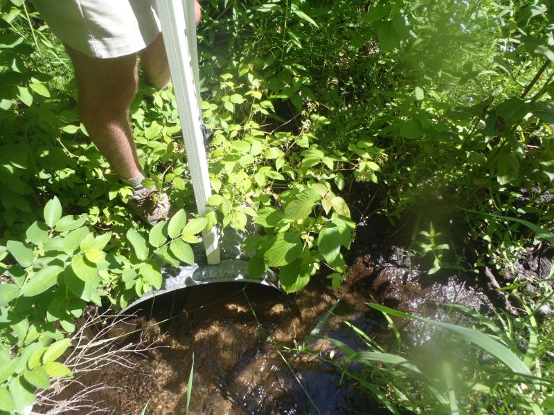
Inlet
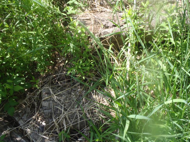
Outlet
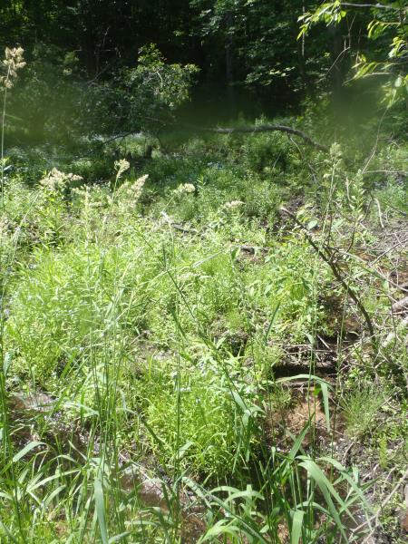
Upstream Conditions
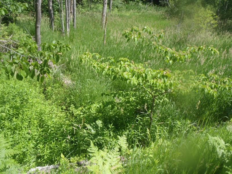
Downstream Conditions
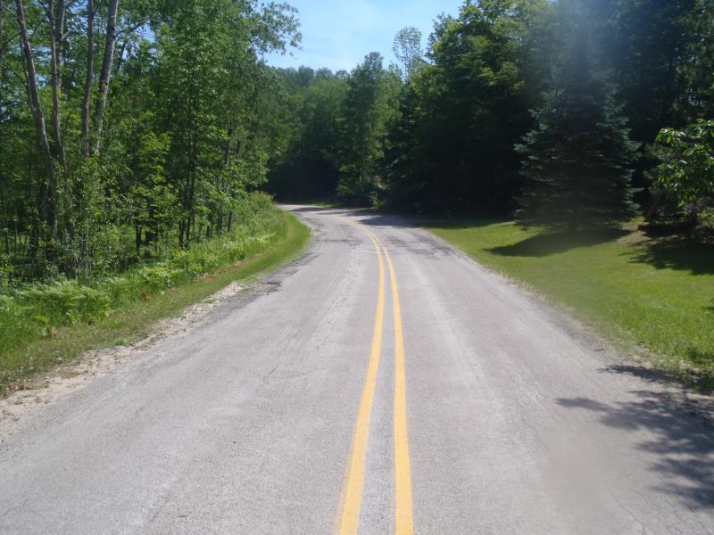
Road Approach - Left
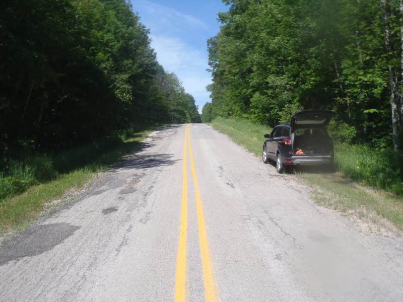
Road Approach - Right
Crossing Information
Type of Crossing: culvert(s)
Number of Structures: 1
Structure Shape: Open Bottom Arch
Inlet Type: Projecting
Outlet Type: Other
Structure Material: Metal
Structure Substrate: Sand
General Conditions: Poor
Structure Interior: corrugated
Dimensions of Structure: Length 45 ft.
, Width 2 ft.
, Height 0.5 ft.
Percentage Plugged:
Inlet: 0%
Outlet: 51% to 75%
In Pipe: 0%
Structure is NOT Perched
Structure Inlet
Water Depth: 0.4 ft.
Embedded Depth of Structure: 0 ft.
Water Velocity*: 0.2 ft./sec.
*Water Velocities were measured at the Surface
(with Meter)
Additional Comments
Outlet not accessible.
Stream Information
Stream Flow: Less than Bankfull
Riffle Information
Water Depth: 0.3 ft.
Bankfull Width: 0.5 ft.
Wetted Width: 0.4 ft.
Water Velocity: 0.2 ft./sec.
(Measured with Meter)
Dominant Substrate: Sand
Road Information
Paved
County Road
Road Condition: Fair
Road Width at Culvert: 20 ft.
Location of Low Point: At Stream
Runoff Path: Ditch
Embankments
Upstream
Fill Depth: 10 ft.
Slope: 1:1
Downstream
Fill Depth: 10 ft.
Slope: 1:1
Approaches
Left Approach
Length: 200 ft.
Slope: 1% to 5%
Vegetation: Heavy
LS Factor: 0.43
Erosion: 0.0569 tons/year
Right Approach
Length: 50 ft.
Slope: 1% to 5%
Vegetation: Heavy
LS Factor: 0.33
Erosion: 0.0109 tons/year
Erosion Information
Total Erosion at Crossing: 0.0678 tons/year
Extent of Erosion: Moderate
Summary Information
Fish Passage is an area of concern for this site.
Yes, clear outlet.
A future visit to this site is recommended.
Yes, massive logs covering outlet so it cannot be seen.
�