Road Stream Crossing Site MAN_CR_004
Big Manistee River Watershed, Unknown (Lake Margerthe inlet stream)
M-72
Grayling Twp,
Crawford County
Information collected by:
Site Location
GPS Coordinates: 44.66644
, -84.78748
T26N
R4W
Sec 10
Owned by Private
Fish Passability 0.5
Structure is NOT Perched
Total Erosion: 0.1983 tons/year
Severity: Moderate
Year Inventoried: 2014
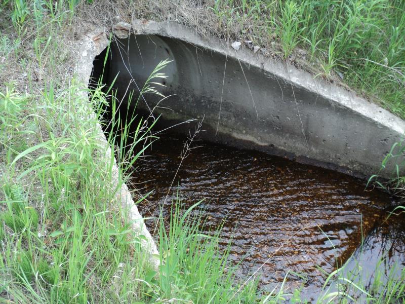
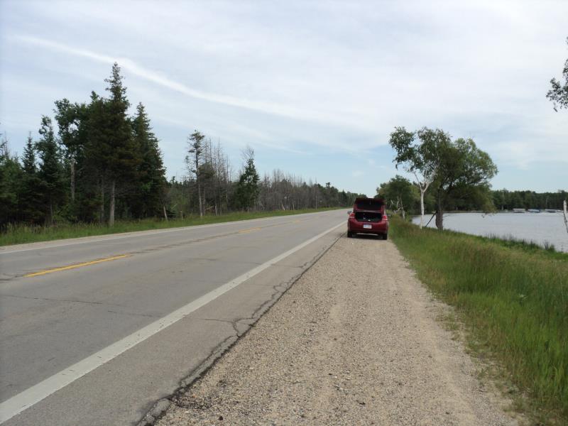
Inlet
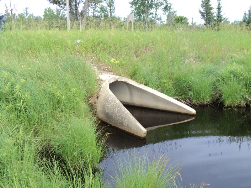
Outlet
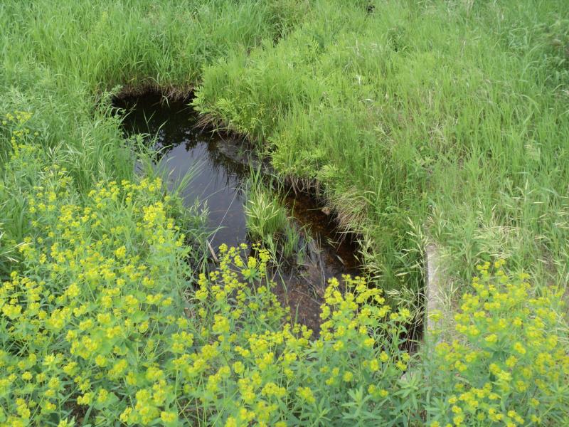
Upstream Conditions
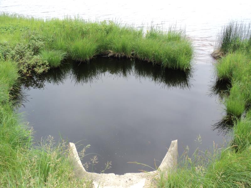
Downstream Conditions
Road Approach - Left
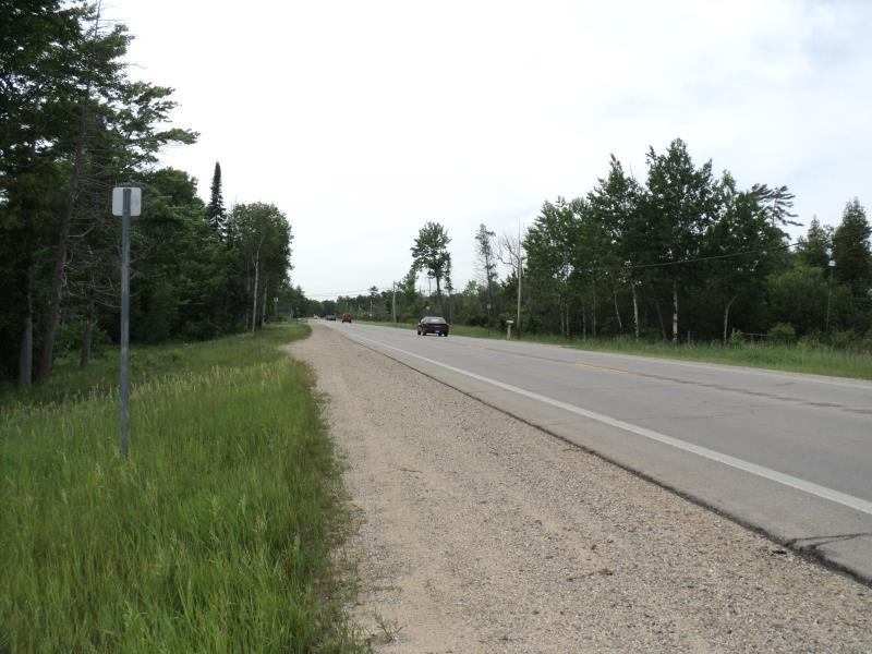
Road Approach - Right
Crossing Information
Type of Crossing: culvert(s)
Number of Structures: 1
Structure Shape: Round
Inlet Type: Apron
Outlet Type: Outlet Apron
Structure Material: Concrete
Structure Substrate: Mixture
General Conditions: Good
Structure Interior: smooth
Dimensions of Structure: Length 82 ft.
, Width 3 ft.
, Height 3 ft.
Structure is NOT Perched
Structure Inlet
Water Depth: 0.1 ft.
Embedded Depth of Structure: 0 ft.
Water Velocity*: 0.1 ft./sec.
Structure Outlet
Water Depth: 0.7 ft.
Embedded Depth of Structure: 0.1 ft.
Water Velocity*: 0.1 ft./sec.
*Water Velocities were measured at the Surface
(with Float Test)
Stream Information
Stream Flow: Less than Bankfull
Scour Pool: Length 0 ft.
, Width 0 ft.
, Depth 0 ft.
Upstream Pond: Length 0 ft.
, Width 0 ft.
, Depth 0 ft.
Riffle Information
Water Depth: 0.3 ft.
Bankfull Width: 5 ft.
Wetted Width: 4 ft.
Water Velocity: 0.1 ft./sec.
(Measured with Float Test)
Dominant Substrate: Organics
Road Information
Paved
State Road
Road Condition: Good
Road Width at Culvert: 50 ft.
Location of Low Point: At Stream
Runoff Path: Roadway
Embankments
Upstream
Fill Depth: 3.3 ft.
Slope: More than 1:2
Downstream
Fill Depth: 2.5 ft.
Slope: More than 1:2
Approaches
Left Approach
Length: 1000 ft.
Slope: Less Than 1%
Vegetation: Partial
LS Factor: 0.06
Erosion: 0.0992 tons/year
Right Approach
Length: 1000 ft.
Slope: Less Than 1%
Vegetation: Partial
LS Factor: 0.06
Erosion: 0.0992 tons/year
Erosion Information
Total Erosion at Crossing: 0.1983 tons/year
Summary Information
Fish Passability 0.5
�