Road Stream Crossing Site MAN_KA_020
Big Manistee River Watershed, North Branch Manistee River
Kniss Rd
Oliver Twp,
Kalkaska County
Information collected by:
Site Location
GPS Coordinates: 44.6699
, -85.00754
T26N
R6W
Sec 2
Owned by State
Structure is NOT Perched
Total Erosion: 0.3389 tons/year
Severity: Minor
Year Inventoried: 2014
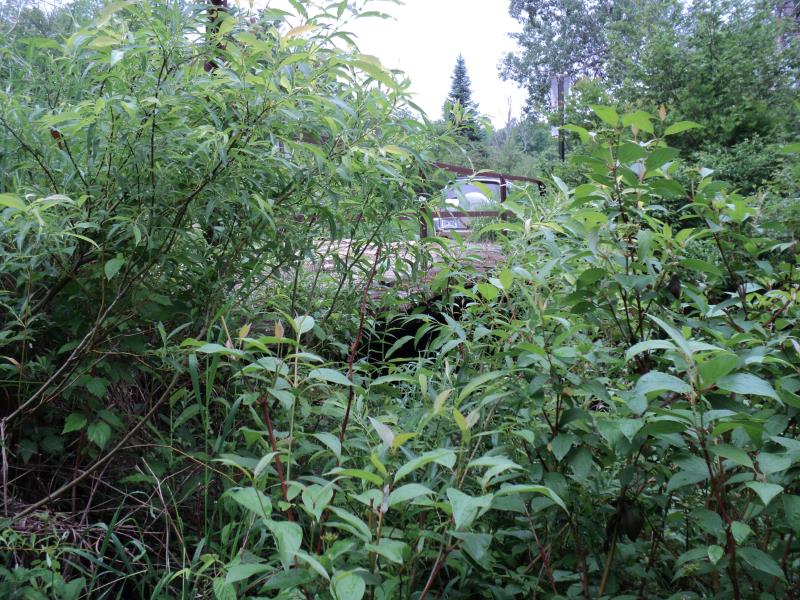
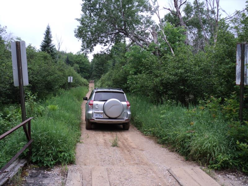
Inlet
Outlet
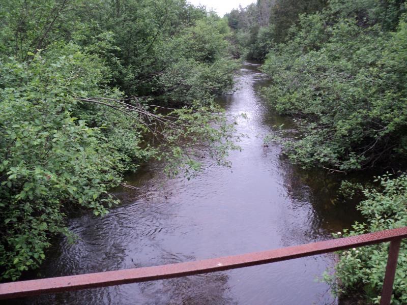
Upstream Conditions
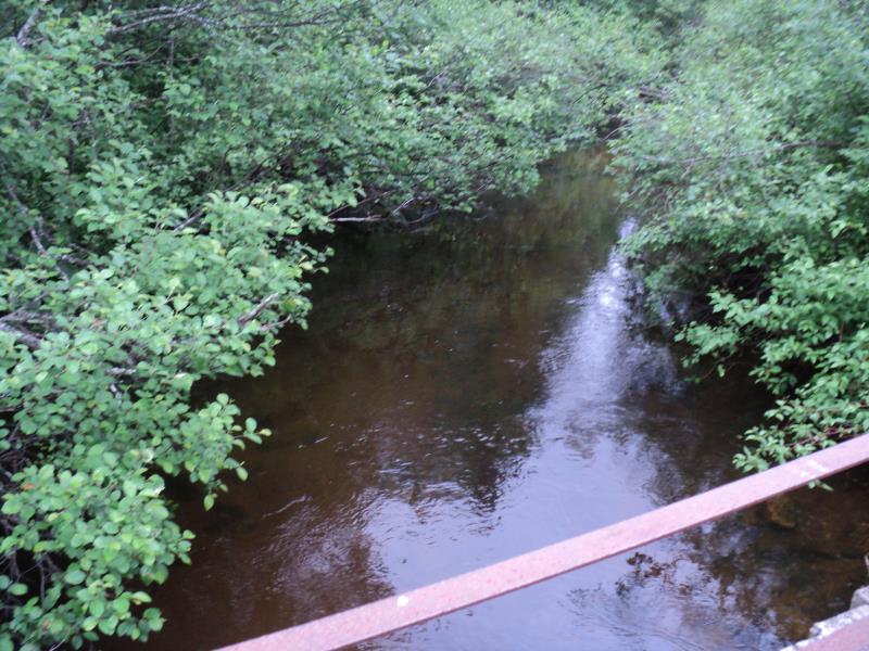
Downstream Conditions
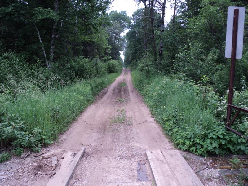
Road Approach - Left
Road Approach - Right
Crossing Information
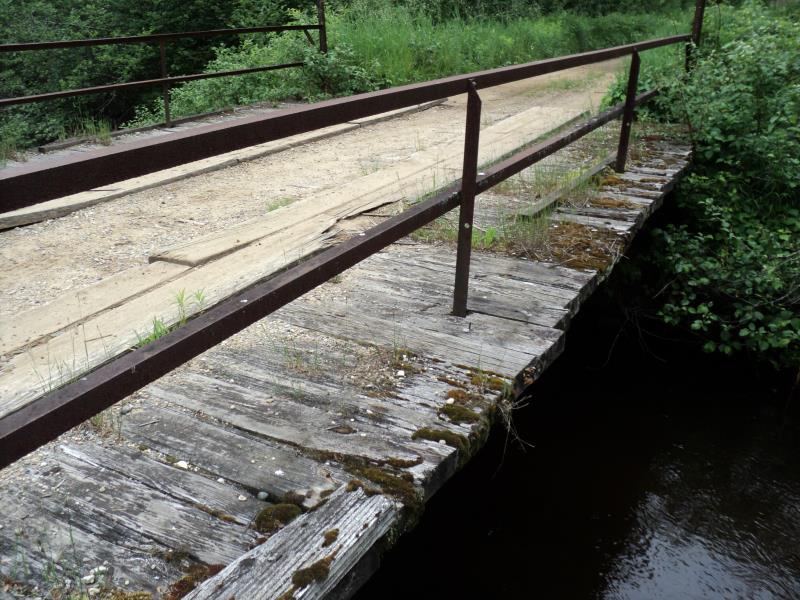
Type of Crossing: Bridge
Structure Shape: Open Bottom Square/Rectangle
Inlet Type: Projecting
Outlet Type: At Stream Grade
Structure Material: Wood
Structure Substrate: Mixture
General Conditions: Poor
Structure Interior: smooth
Dimensions of Structure: Length 16 ft.
, Width 28 ft.
, Height 6 ft.
Structure is NOT Perched
Structure Inlet
Water Depth: 2.6 ft.
Embedded Depth of Structure: 0 ft.
Water Velocity*: 1.8 ft./sec.
Structure Outlet
Water Depth: 2.3 ft.
Embedded Depth of Structure: 0 ft.
Water Velocity*: 1.7 ft./sec.
*Water Velocities were measured 1.8 ft. below Surface
(with Meter)
Stream Information
Stream Flow: Bankfull
Scour Pool: Length 0 ft.
, Width 0 ft.
, Depth 0 ft.
Upstream Pond: Length 0 ft.
, Width 0 ft.
, Depth 0 ft.
Riffle Information
Water Depth: 1.4 ft.
Bankfull Width: 20 ft.
Wetted Width: 18 ft.
Water Velocity: 0.6 ft./sec.
(Measured with Meter)
Dominant Substrate: Sand
Road Information
Sand
Other Road
(Seasonal)
Road Condition: Poor
Road Width at Culvert: 8 ft.
Location of Low Point: Other
Runoff Path: Roadway
Fill Depth: 0 ft.
Slope: Vertical
Fill Depth: 0 ft.
Slope: Vertical
Approaches
Left Approach
Length: 330 ft.
Slope: 1% to 5%
Vegetation: Heavy
LS Factor: 0.466
Erosion: 0.3389 tons/year
Right Approach
Length: 0 ft.
Slope: Less Than 1%
Vegetation: Heavy
LS Factor: 0.05
Erosion: 0 tons/year
Erosion Information
Total Erosion at Crossing: 0.3389 tons/year
Extent of Erosion: Moderate
Summary Information
Erosion is an area of concern for this site.
A future visit to this site is recommended.
Yes, bridge has wood planks that should be replaced, and other preventive maintenance.
�