Road Stream Crossing Site CHAR_EV06
Lake Charlevoix Watershed, Dyer Creek
Lakeshore Rd
Evangeline Twp,
Charlevoix County
Information collected by:
Site Location
GPS Coordinates: 45.219448
, -85.071372
T33N
R06W
Sec 29
Owned by Private
Structure is NOT Perched
Total Erosion: 0.0312 tons/year
Severity: Minor
Year Inventoried: 2011
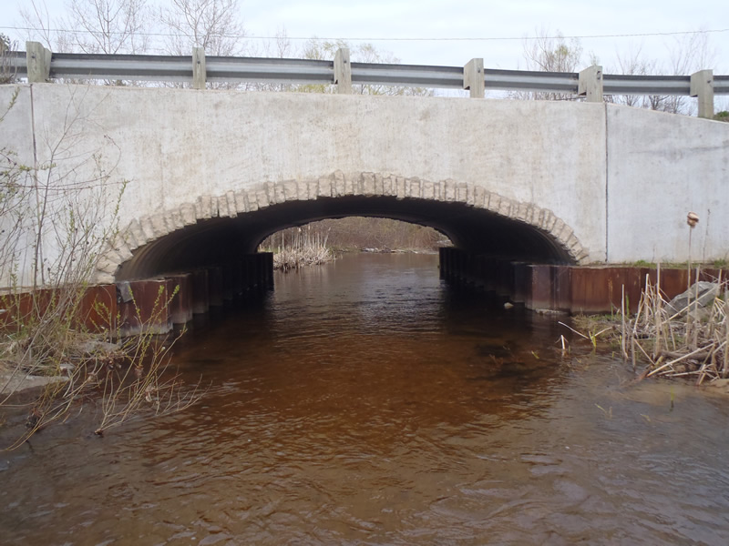
Inlet
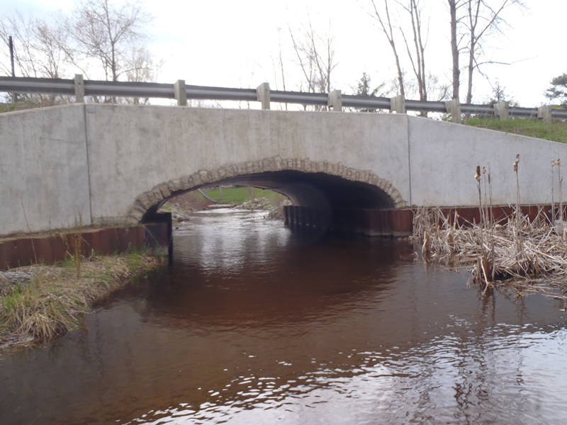
Outlet
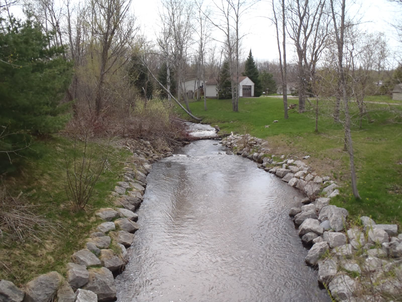
Upstream Conditions
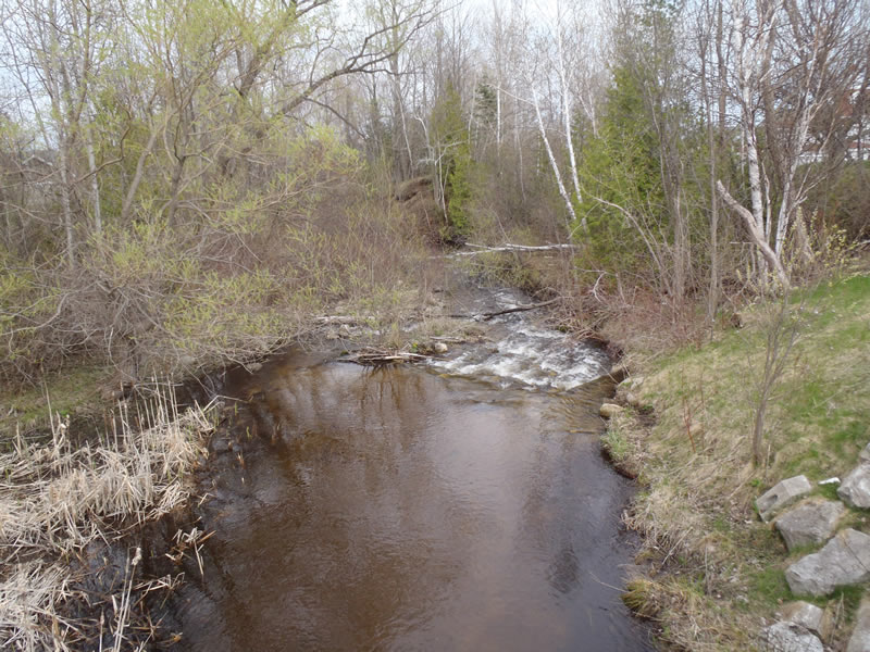
Downstream Conditions
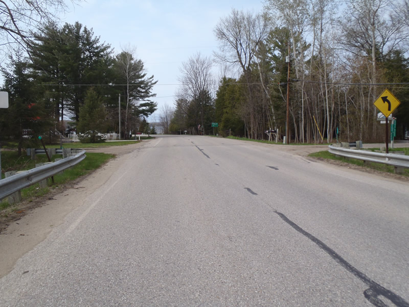
Road Approach - Left
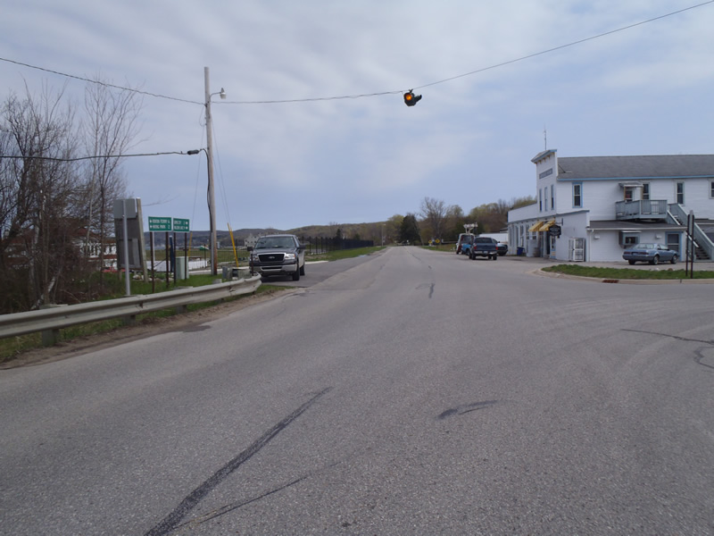
Road Approach - Right
Crossing Information
Type of Crossing: culvert(s)
Number of Structures: 1
Structure Shape: Open Bottom Arch
Inlet Type: Wingwall 30-70 Degree
Outlet Type: At Stream Grade
Structure Material: Metal
Structure Substrate: Gravel
General Conditions: Good
Structure Interior: corrugated
Dimensions of Structure: Length 35 ft.
, Width 20 ft.
, Height 7 ft.
Structure is NOT Perched
Structure Inlet
Water Depth: 1.2 ft.
Embedded Depth of Structure: 0 ft.
Water Velocity*: 1.8 ft./sec.
Structure Outlet
Water Depth: 1.7 ft.
Embedded Depth of Structure: 0 ft.
Water Velocity*: 1.1 ft./sec.
*Water Velocities were measured 0.8 ft. below Surface
(with Meter)
Stream Information
Stream Flow: Less than Bankfull
Riffle Information
Water Depth: 0.9 ft.
Bankfull Width: 12.5 ft.
Wetted Width: 11 ft.
Water Velocity: 43 ft./sec.
(Measured with Meter)
Dominant Substrate: Cobble
Road Information
Paved
County Road
Road Condition: Good
Road Width at Culvert: 28 ft.
Location of Low Point: At Stream
Runoff Path: Roadway
Embankments
Upstream
Fill Depth: 5 ft.
Slope: Vertical
Downstream
Fill Depth: 5 ft.
Slope: Vertical
Approaches
Left Approach
Length: 225 ft.
Slope: Less Than 1%
Vegetation: Heavy
LS Factor: 0.05
Erosion: 0.0104 tons/year
Right Approach
Length: 450 ft.
Slope: Less Than 1%
Vegetation: Heavy
LS Factor: 0.05
Erosion: 0.0208 tons/year
Erosion Information
Total Erosion at Crossing: 0.0312 tons/year
Extent of Erosion: Moderate
Summary Information
Erosion is an area of concern for this site.
�