Road Stream Crossing Site MAN_KA_033
Big Manistee River Watershed, Maple Creek
W Sharon Rd
Garfield Twp,
Kalkaska County
Information collected by:
Site Location
GPS Coordinates: 44.58333
, -85.10511
T25N
R7W
Sec 1
Owned by State
Structure is NOT Perched
Total Erosion: 0.4483 tons/year
Severity: Severe
Year Inventoried: 2014
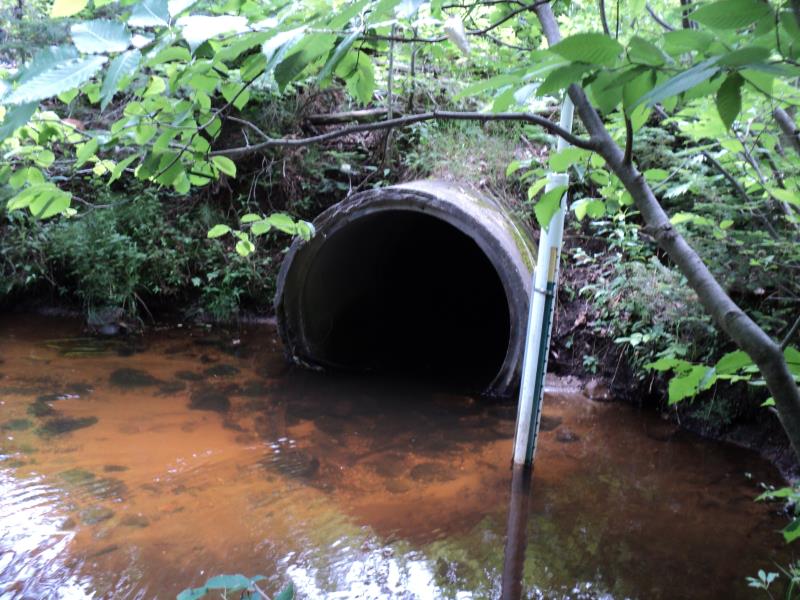
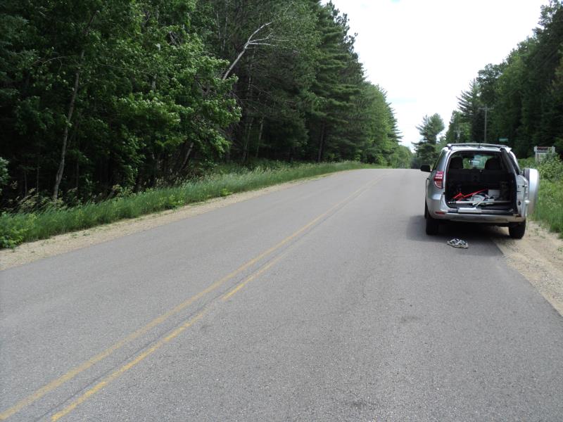
Inlet
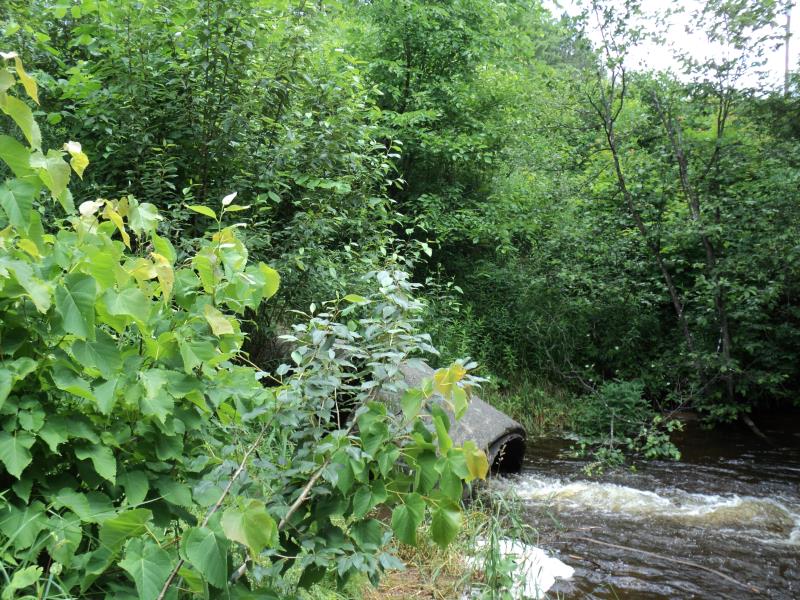
Outlet
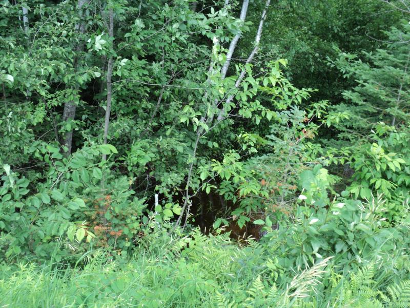
Upstream Conditions
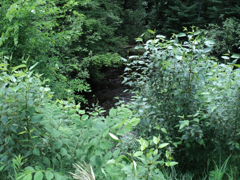
Downstream Conditions
Road Approach - Left
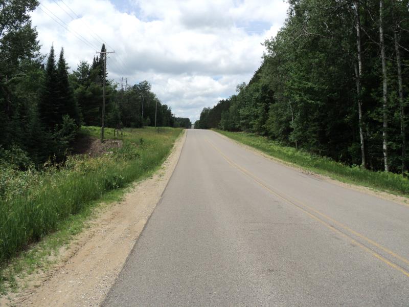
Road Approach - Right
Crossing Information
Type of Crossing: culvert(s)
Number of Structures: 1
Structure Shape: Round
Inlet Type: Projecting
Outlet Type: At Stream Grade
Structure Material: Concrete
Structure Substrate: None
General Conditions: Fair
Structure Interior: smooth
Dimensions of Structure: Length 72 ft.
, Width 4 ft.
, Height 4 ft.
Structure is NOT Perched
Structure Inlet
Water Depth: 1 ft.
Embedded Depth of Structure: 0 ft.
Water Velocity*: 2.5 ft./sec.
Structure Outlet
Water Depth: 0.6 ft.
Embedded Depth of Structure: 0 ft.
Water Velocity*: 7.6 ft./sec.
*Water Velocities were measured 0.4 ft. below Surface
(with Meter)
Stream Information
Stream Flow: Bankfull
Scour Pool: Length 50 ft.
, Width 42 ft.
, Depth 3 ft.
Upstream Pond: Length 0 ft.
, Width 0 ft.
, Depth 0 ft.
Riffle Information
Water Depth: 0.7 ft.
Bankfull Width: 20 ft.
Wetted Width: 12 ft.
Water Velocity: 0.9 ft./sec.
(Measured with Meter)
Dominant Substrate: Gravel
Road Information
Paved
County Road
Road Condition: Good
Road Width at Culvert: 32 ft.
Location of Low Point: At Stream
Runoff Path: Ditch
Embankments
Upstream
Fill Depth: 6.8 ft.
Slope: More than 1:2
Downstream
Fill Depth: 11 ft.
Slope: 1:2
Approaches
Left Approach
Length: 450 ft.
Slope: 1% to 5%
Vegetation: Heavy
LS Factor: 0.49
Erosion: 0.2333 tons/year
Right Approach
Length: 420 ft.
Slope: 1% to 5%
Vegetation: Heavy
LS Factor: 0.484
Erosion: 0.215 tons/year
Erosion Information
Total Erosion at Crossing: 0.4483 tons/year
Extent of Erosion: Moderate
Summary Information
Fish Passage is an area of concern for this site.
Fish passage, broken section on outlet.
A future visit to this site is recommended.
To repair outlet if desired.
�