Road Stream Crossing Site MAN_KA_035
Big Manistee River Watershed, Manistee River
W Sharon Rd
Garfield Twp,
Kalkaska County
Information collected by:
Site Location
GPS Coordinates: 44.58535
, -85.09029
T25N
R6W
Sec 6
Owned by State
Structure is NOT Perched
Total Erosion: 0.9575 tons/year
Severity: Severe
Year Inventoried: 2014
Inlet
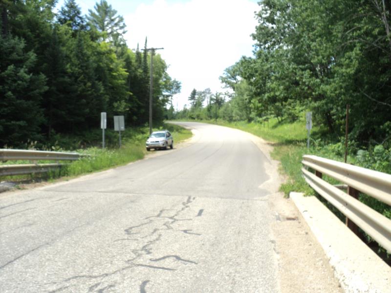
Outlet
Upstream Conditions
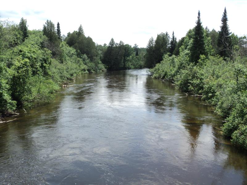
Downstream Conditions
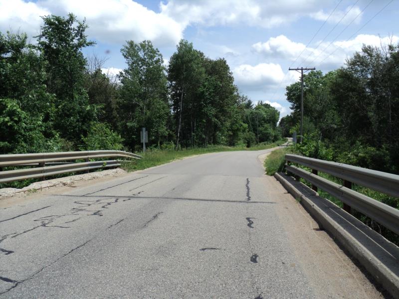
Road Approach - Left
Road Approach - Right
Crossing Information
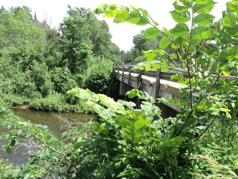
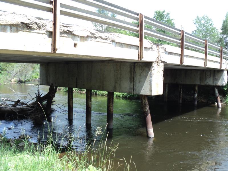
Type of Crossing: Bridge
Structure Shape: Open Bottom Square/Rectangle
Inlet Type: Other
Outlet Type: At Stream Grade
Structure Material: Concrete
Structure Substrate: Rock
General Conditions: Fair
Structure Interior: smooth
Dimensions of Structure: Length 25 ft.
, Width 98 ft.
, Height 20 ft.
Structure is NOT Perched
Structure Inlet
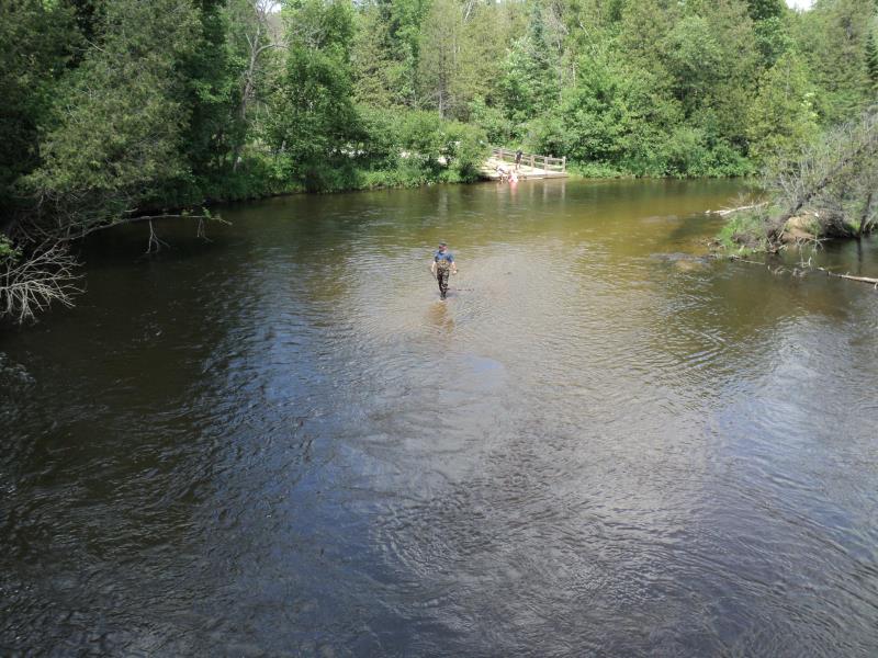
Water Depth: 7 ft.
Embedded Depth of Structure: 0 ft.
Water Velocity*: 3.7 ft./sec.
Structure Outlet
Water Depth: 7 ft.
Embedded Depth of Structure: 0 ft.
Water Velocity*: 3.7 ft./sec.
*Water Velocities were measured 2.6 ft. below Surface
(with Meter)
Stream Information
Stream Flow: Bankfull
Scour Pool: Length 0 ft.
, Width 0 ft.
, Depth 0 ft.
Upstream Pond: Length 0 ft.
, Width 0 ft.
, Depth 0 ft.
Riffle Information
Water Depth: 3.8 ft.
Bankfull Width: 75 ft.
Wetted Width: 50 ft.
Water Velocity: 3.2 ft./sec.
(Measured with Meter)
Dominant Substrate: Gravel
Road Information
Paved
County Road
Road Condition: Good
Road Width at Culvert: 25 ft.
Location of Low Point: Other
Runoff Path: Ditch
Fill Depth: 0 ft.
Slope: Vertical
Fill Depth: 0 ft.
Slope: Vertical
Approaches
Left Approach
Length: 0 ft.
Slope: Less Than 1%
Vegetation: Heavy
LS Factor: 0.05
Erosion: 0 tons/year
Right Approach
Length: 650 ft.
Slope: 6% to 10%
Vegetation: Heavy
LS Factor: 1.783
Erosion: 0.9575 tons/year
Erosion Information
Total Erosion at Crossing: 0.9575 tons/year
Extent of Erosion: Moderate
Summary Information
Erosion is an area of concern for this site.
�