Road Stream Crossing Site MAN_KA_043
Big Manistee River Watershed, Big Devil Creek
Military Rd
Garfield Twp,
Kalkaska County
Information collected by:
Site Location
GPS Coordinates: 44.58564
, -85.0438
T25N
R6W
Sec 4
Owned by State
Structure is NOT Perched
Total Erosion: 2.9823 tons/year
Severity: Severe
Year Inventoried: 2014
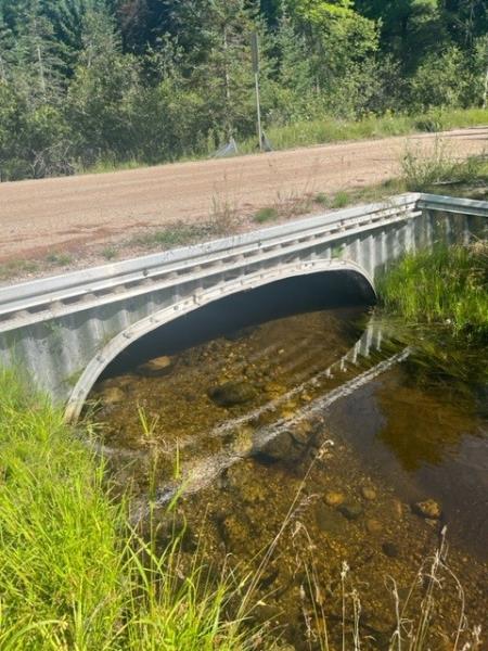
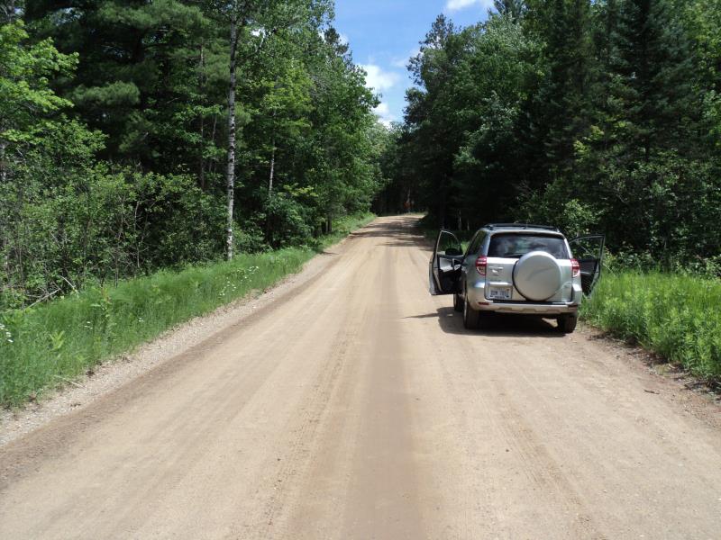
Inlet
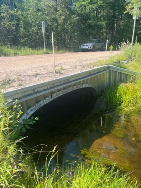
Outlet
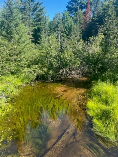
Upstream Conditions
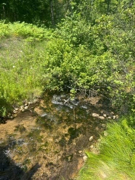
Downstream Conditions
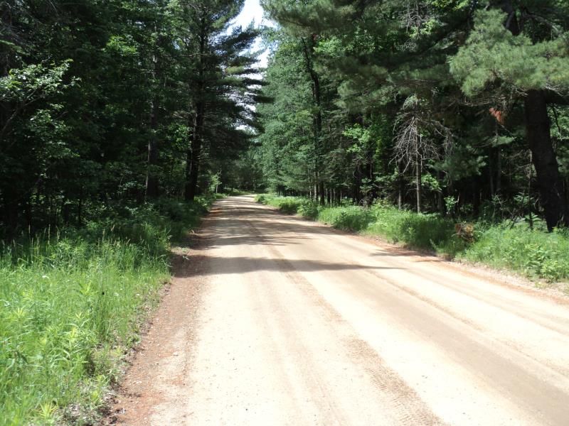
Road Approach - Left
Road Approach - Right
Crossing Information
Type of Crossing: culvert(s)
Number of Structures: 2
Structure Shape: Pipe Arch
Inlet Type: Projecting
Outlet Type: At Stream Grade
Structure Material: Metal
Structure Substrate: None
General Conditions: Fair
Multiple Culverts/Spans | ||||
Culvert/Span | Width | Length | Height | Material |
2 |
3.6 ft. |
34 ft. |
2.2 ft. |
Metal |
Structure Interior: corrugated
Dimensions of Structure: Length 34 ft.
, Width 3.6 ft.
, Height 2.2 ft.
Structure is NOT Perched
Structure Inlet
Water Depth: 1.2 ft.
Embedded Depth of Structure: 0 ft.
Water Velocity*: 1.9 ft./sec.
Structure Outlet
Water Depth: 1.1 ft.
Embedded Depth of Structure: 0 ft.
Water Velocity*: 1.7 ft./sec.
*Water Velocities were measured 0.8 ft. below Surface
(with Meter)
Stream Information
Stream Flow: Bankfull
Scour Pool: Length 40 ft.
, Width 24 ft.
, Depth 3.5 ft.
Upstream Pond: Length 0 ft.
, Width 0 ft.
, Depth 0 ft.
Riffle Information
Water Depth: 0.7 ft.
Bankfull Width: 10 ft.
Wetted Width: 10 ft.
Water Velocity: 1.5 ft./sec.
(Measured with Meter)
Dominant Substrate: Gravel
Road Information
Gravel
County Road
Road Condition: Good
Road Width at Culvert: 21 ft.
Location of Low Point: At Stream
Runoff Path: Roadway
Embankments
Upstream
Fill Depth: 2.4 ft.
Slope: More than 1:2
Downstream
Fill Depth: 2.2 ft.
Slope: More than 1:2
Approaches
Left Approach
Length: 540 ft.
Slope: 1% to 5%
Vegetation: Heavy
LS Factor: 0.508
Erosion: 1.587 tons/year
Right Approach
Length: 480 ft.
Slope: 1% to 5%
Vegetation: Heavy
LS Factor: 0.496
Erosion: 1.3773 tons/year
Erosion Information
Total Erosion at Crossing: 2.9823 tons/year
Extent of Erosion: Minor
Location of Erosion | Erosion Dimensions | Eroded Material | Material Eroded | Total Erosion | ||
facing downstream | Length | Width | Depth | Reaching Stream? | (tons/year) | |
Right Upstream Embankment |
6 ft. |
1 ft. |
3 ft. |
yes |
Gravel |
0.018 |
Summary Information
Erosion is an area of concern for this site.
A future visit to this site is recommended.
Yes, to monitor erosion.
�