Road Stream Crossing Site MAN_KA_051
Big Manistee River Watershed, Big Cannon Creek
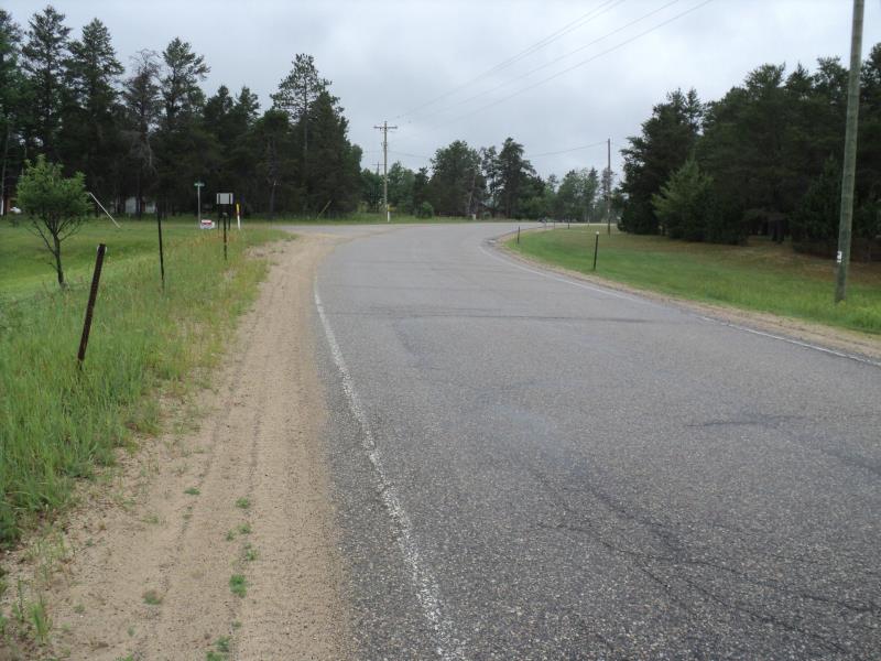
Fletcher Rd
Garfield Twp,
Kalkaska County
Information collected by:
Site Location
GPS Coordinates: 44.56054
, -85.05065
T25N
R6W
Sec 16
Owned by Private
Structure is NOT Perched
Total Erosion: 1.2803 tons/year
Severity: Moderate
Year Inventoried: 2014
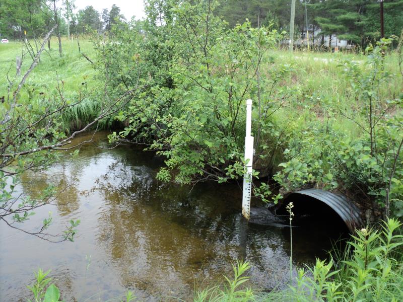
Inlet
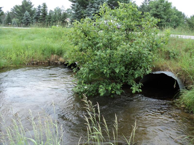
Outlet
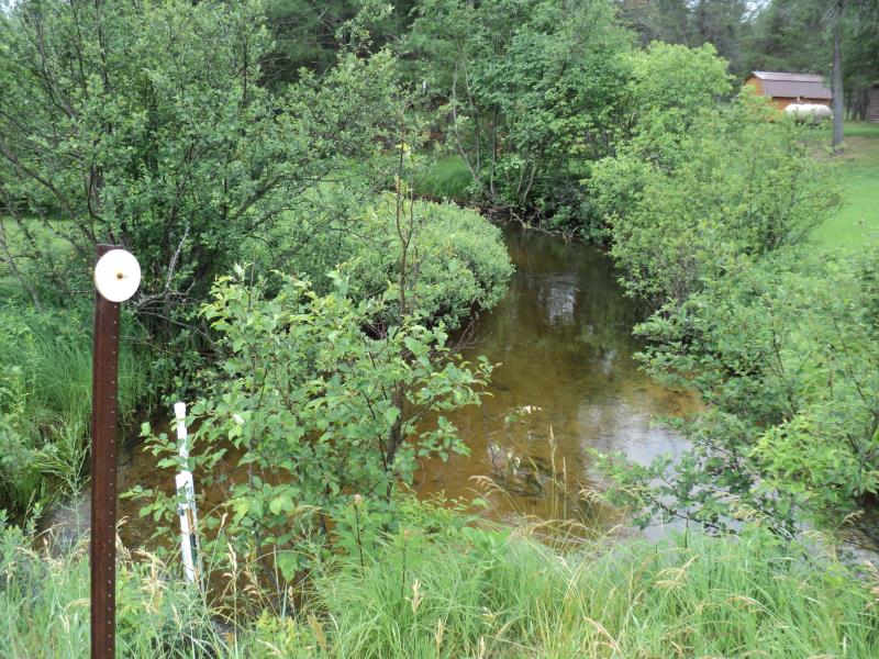
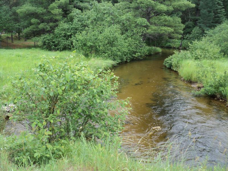
Upstream Conditions
Downstream Conditions
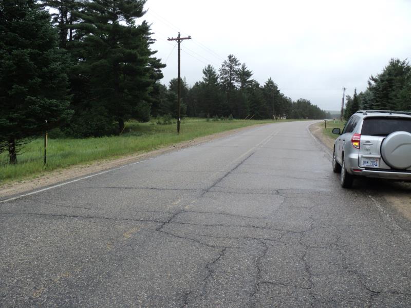
Road Approach - Left
Road Approach - Right
Crossing Information
Type of Crossing: culvert(s)
Number of Structures: 2
Structure Shape: Pipe Arch
Inlet Type: Projecting
Outlet Type: At Stream Grade
Structure Material: Metal
Structure Substrate: None
General Conditions: Good
Multiple Culverts/Spans | ||||
Culvert/Span | Width | Length | Height | Material |
2 |
5.5 ft. |
50 ft. |
3.1 ft. |
Metal |
Structure Interior: corrugated
Dimensions of Structure: Length 50 ft.
, Width 5.5 ft.
, Height 3.1 ft.
Structure is NOT Perched
Structure Inlet
Water Depth: 1.4 ft.
Embedded Depth of Structure: 0 ft.
Water Velocity*: 2 ft./sec.
Structure Outlet
Water Depth: 1.2 ft.
Embedded Depth of Structure: 0 ft.
Water Velocity*: 2.5 ft./sec.
*Water Velocities were measured 1.1 ft. below Surface
(with Meter)
Stream Information
Stream Flow: Bankfull
Scour Pool: Length 0 ft.
, Width 0 ft.
, Depth 0 ft.
Upstream Pond: Length 0 ft.
, Width 0 ft.
, Depth 0 ft.
Riffle Information
Water Depth: 2.5 ft.
Bankfull Width: 16 ft.
Wetted Width: 16 ft.
Water Velocity: 1.5 ft./sec.
(Measured with Meter)
Dominant Substrate: Sand
Road Information
Paved
County Road
Road Condition: Good
Road Width at Culvert: 30 ft.
Location of Low Point: At Stream
Runoff Path: Roadway
Embankments
Upstream
Fill Depth: 3.7 ft.
Slope: More than 1:2
Downstream
Fill Depth: 4.1 ft.
Slope: More than 1:2
Approaches
Left Approach
Length: 690 ft.
Slope: 1% to 5%
Vegetation: Partial
LS Factor: 0.712
Erosion: 0.4869 tons/year
Right Approach
Length: 1000 ft.
Slope: 1% to 5%
Vegetation: Partial
LS Factor: 0.8
Erosion: 0.7934 tons/year
Erosion Information
Total Erosion at Crossing: 1.2803 tons/year
Extent of Erosion: Moderate
Summary Information
Erosion is an area of concern for this site.
Yes, some erosion occuring between the 2 culverts.
A future visit to this site is recommended.
Yes, to monitor erosion on outlet.
�