Road Stream Crossing Site MAN_KA_053
Big Manistee River Watershed, Big Cannon Creek
Naples Rd
Garfield Twp,
Kalkaska County
Information collected by:
Site Location
GPS Coordinates: 44.51855
, -85.00414
T25N
R6W
Sec 35
Owned by State
Fish Passability 0
Structure is NOT Perched
Total Erosion: 2.4227 tons/year
Severity: Severe
Year Inventoried: 2014
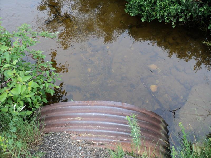
Inlet
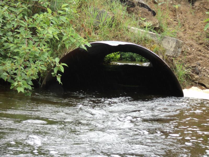
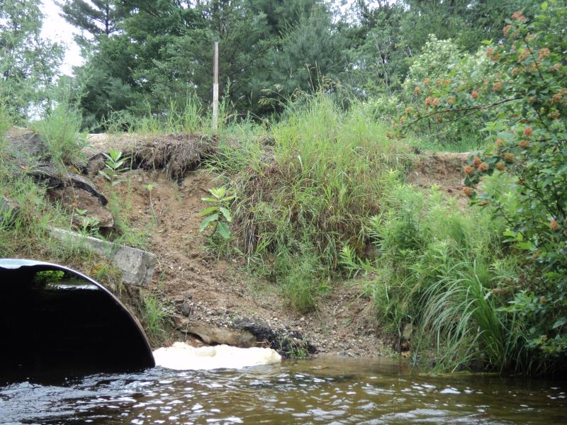
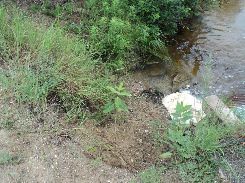
Outlet
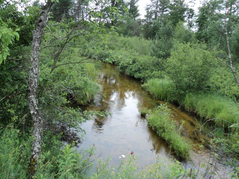
Upstream Conditions
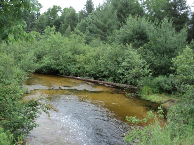
Downstream Conditions
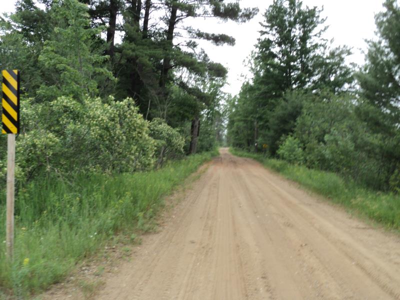
Road Approach - Left
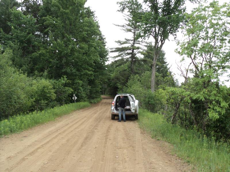
Road Approach - Right
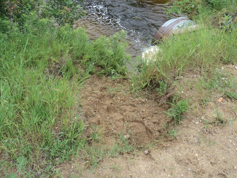
Erosion
Erosion
Erosion
Crossing Information
Type of Crossing: culvert(s)
Number of Structures: 1
Structure Shape: Pipe Arch
Inlet Type: Projecting
Outlet Type: At Stream Grade
Structure Material: Metal
Structure Substrate: None
General Conditions: Good
Structure Interior: corrugated
Dimensions of Structure: Length 42 ft.
, Width 4.5 ft.
, Height 3 ft.
Structure is NOT Perched
Structure Inlet
Water Depth: 1.2 ft.
Embedded Depth of Structure: 0 ft.
Water Velocity*: 4.7 ft./sec.
Structure Outlet
Water Depth: 1.3 ft.
Embedded Depth of Structure: 0 ft.
Water Velocity*: 3.7 ft./sec.
*Water Velocities were measured 0.9 ft. below Surface
(with Meter)
Stream Information
Stream Flow: Bankfull
Scour Pool: Length 65 ft.
, Width 35 ft.
, Depth 3.6 ft.
Upstream Pond: Length 0 ft.
, Width 0 ft.
, Depth 0 ft.
Riffle Information
Water Depth: 1.5 ft.
Bankfull Width: 12 ft.
Wetted Width: 12 ft.
Water Velocity: 1.4 ft./sec.
(Measured with Meter)
Dominant Substrate: Sand
Road Information
Sand
Other Road
(Seasonal)
Road Condition: Fair
Road Width at Culvert: 15 ft.
Location of Low Point: At Stream
Runoff Path: Roadway
Embankments
Upstream
Fill Depth: 2.8 ft.
Slope: More than 1:2
Downstream
Fill Depth: 3.1 ft.
Slope: More than 1:2
Approaches
Left Approach
Length: 540 ft.
Slope: 1% to 5%
Vegetation: Heavy
LS Factor: 0.508
Erosion: 1.1336 tons/year
Right Approach
Length: 450 ft.
Slope: 1% to 5%
Vegetation: Heavy
LS Factor: 0.49
Erosion: 0.9112 tons/year
Erosion Information
Total Erosion at Crossing: 2.4227 tons/year
Extent of Erosion: Moderate
Erosion is occurring and corrective actions can be installed to address the problem.
Location of Erosion | Erosion Dimensions | Eroded Material | Material Eroded | Total Erosion | ||
facing downstream | Length | Width | Depth | Reaching Stream? | (tons/year) | |
Left Downstream Embankment |
10 ft. |
15 ft. |
5.4 ft. |
yes |
Gravelly Loam |
0.378 |
Summary Information
Fish Passability 0
Erosion is an area of concern for this site.
Yes, large erosion occuring on outlet side.
�