Road Stream Crossing Site MAN_KA_056
Big Manistee River Watershed, Unknown (tributary to Manistee River)
Dutch John Rd
Garfield Twp,
Kalkaska County
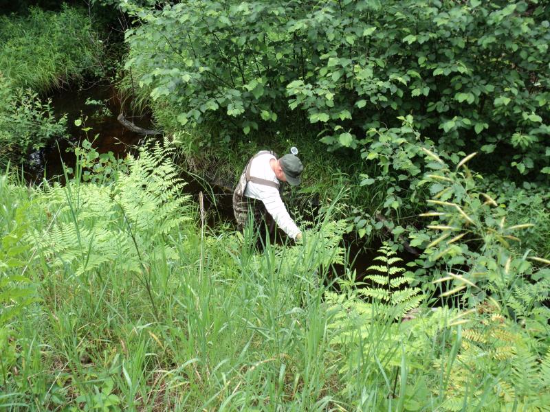
Information collected by:
Site Location
GPS Coordinates: 44.56132
, -85.11904
T25N
R7W
Sec 14
Owned by Private
Structure is NOT Perched
Total Erosion: 3.8469 tons/year
Severity: Severe
Year Inventoried: 2014
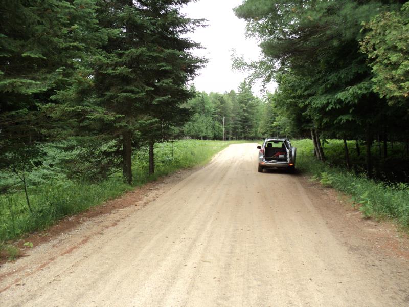
Inlet
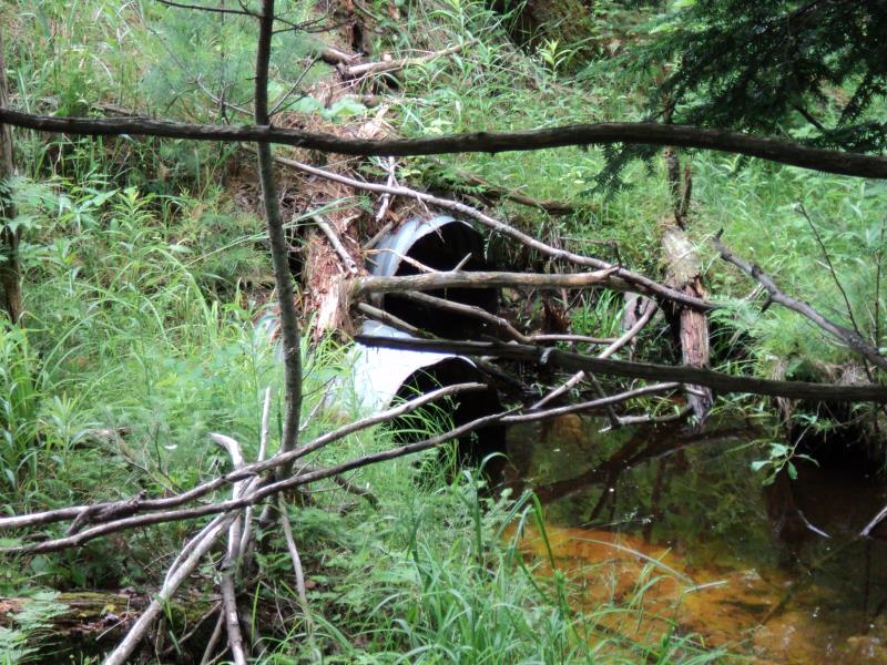
Outlet
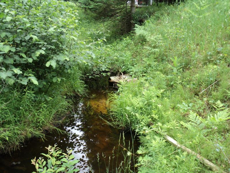
Upstream Conditions
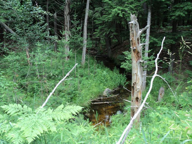
Downstream Conditions
Road Approach - Left
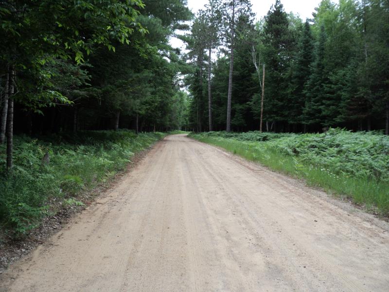
Road Approach - Right
Crossing Information
Type of Crossing: culvert(s)
Number of Structures: 2
Structure Shape: Round
Inlet Type: Projecting
Outlet Type: At Stream Grade
Structure Material: Metal
Structure Substrate: Sand
General Conditions: Fair
Multiple Culverts/Spans | ||||
Culvert/Span | Width | Length | Height | Material |
2 |
2 ft. |
50 ft. |
2 ft. |
Metal |
Structure Interior: corrugated
Structure is Rusted through
Dimensions of Structure: Length 50 ft.
, Width 2 ft.
, Height 2 ft.
Percentage Plugged:
Inlet: 26% to 50%
Outlet: 0%
In Pipe: 0%
Structure is NOT Perched
Structure Inlet
Water Depth: 0.8 ft.
Embedded Depth of Structure: 0 ft.
Water Velocity*: 0.2 ft./sec.
Structure Outlet
Water Depth: 0.9 ft.
Embedded Depth of Structure: 0 ft.
Water Velocity*: 0.2 ft./sec.
*Water Velocities were measured at the Surface
(with Meter)
Stream Information
Stream Flow: Less than Bankfull
Scour Pool: Length 0 ft.
, Width 0 ft.
, Depth 0 ft.
Upstream Pond: Length 0 ft.
, Width 0 ft.
, Depth 0 ft.
Riffle Information
Water Depth: 0.2 ft.
Bankfull Width: 8 ft.
Wetted Width: 5 ft.
Water Velocity: 1.1 ft./sec.
(Measured with Meter)
Dominant Substrate: Gravel
Road Information
Gravel
County Road
Road Condition: Good
Road Width at Culvert: 18 ft.
Location of Low Point: At Stream
Runoff Path: Roadway
Embankments
Upstream
Fill Depth: 10 ft.
Slope: 1:2
Downstream
Fill Depth: 10 ft.
Slope: More than 1:2
Approaches
Left Approach
Length: 660 ft.
Slope: 1% to 5%
Vegetation: Heavy
LS Factor: 0.529
Erosion: 1.7313 tons/year
Right Approach
Length: 780 ft.
Slope: 1% to 5%
Vegetation: Heavy
LS Factor: 0.547
Erosion: 2.1157 tons/year
Erosion Information
Total Erosion at Crossing: 3.8469 tons/year
Extent of Erosion: Moderate
Summary Information
Erosion is an area of concern for this site.
�