Road Stream Crossing Site MAN_MA_007
Big Manistee River Watershed, Unknown (tributary to Manistee River)
Upper River Rd
Marilla Twp,
Manistee County
Information collected by:
Site Location
GPS Coordinates: 44.35829
, -85.83698
T23N
R13W
Sec 25
Owned by Federal
Structure is NOT Perched
Total Erosion: 1.4105 tons/year
Severity: Moderate
Year Inventoried: 2014
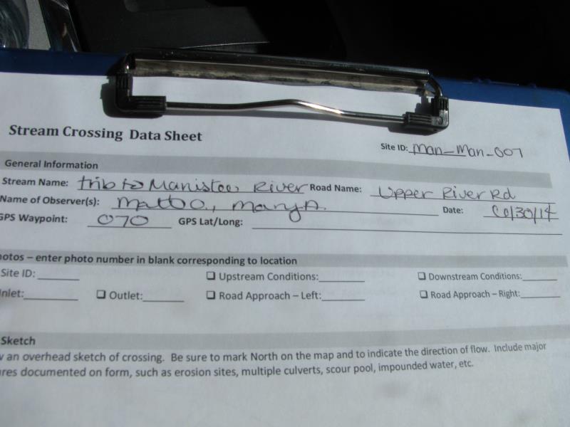
Site ID
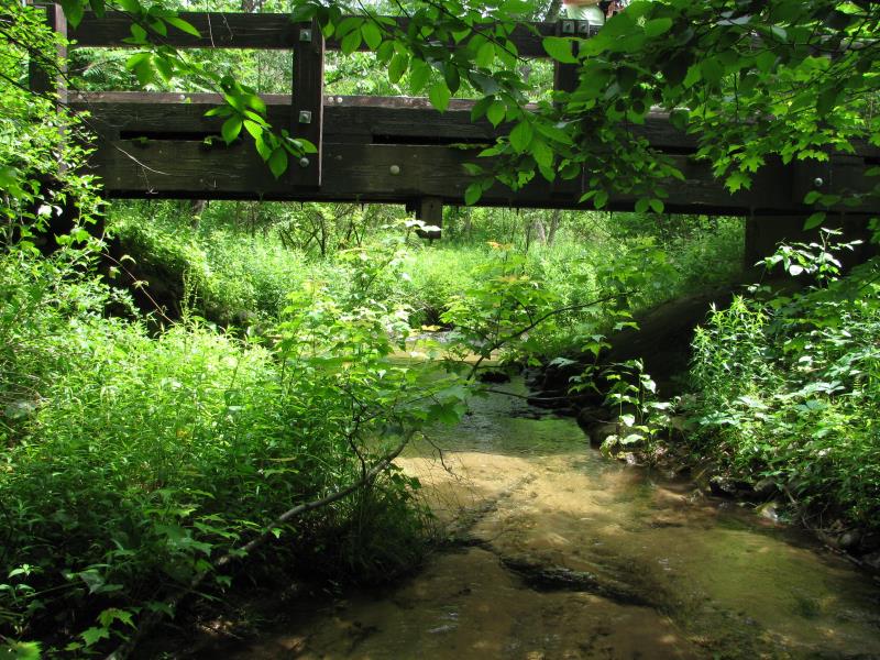
Inlet
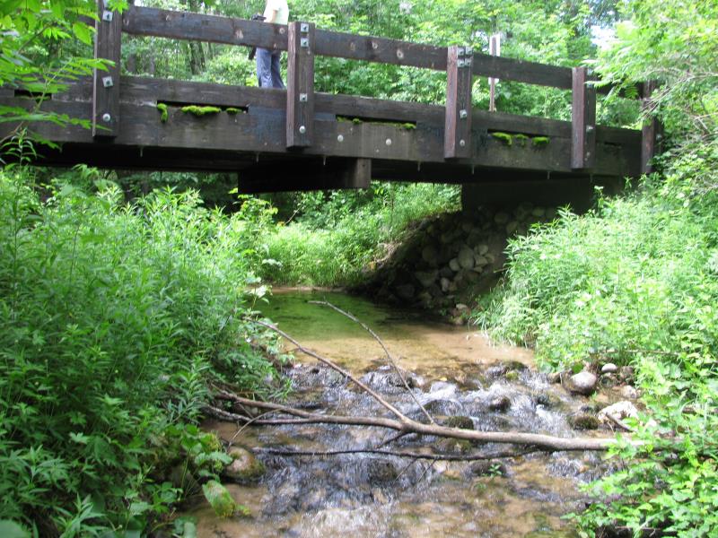
Outlet
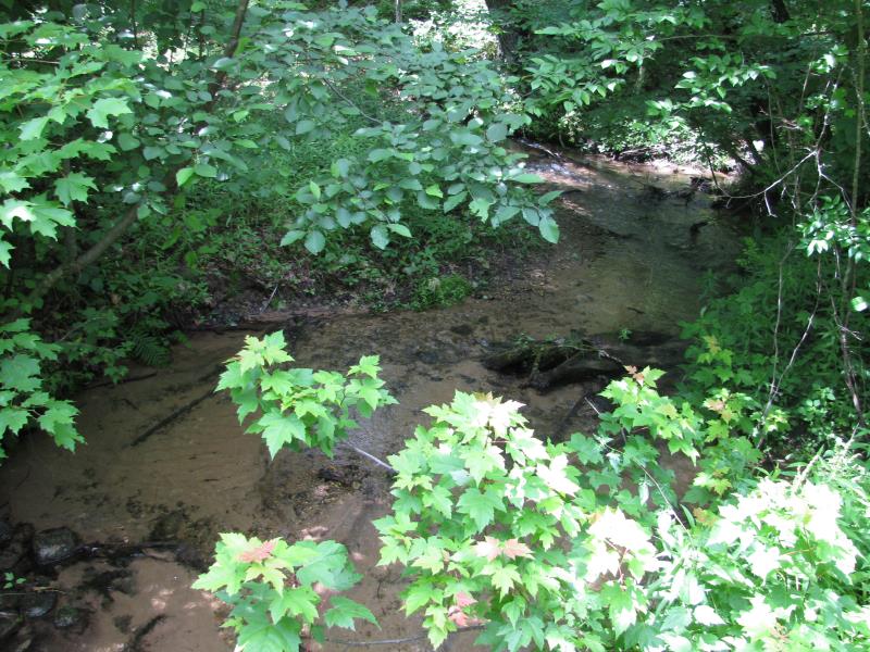
Upstream Conditions
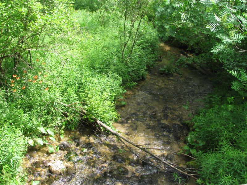
Downstream Conditions
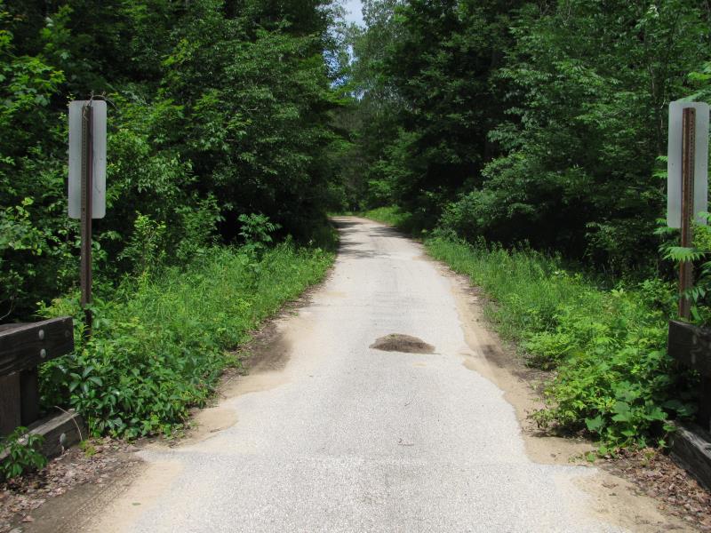
Road Approach - Left
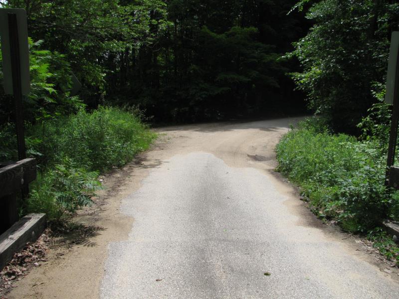
Road Approach - Right
Crossing Information
Type of Crossing: Bridge
Structure Shape: Open Bottom Square/Rectangle
Inlet Type: Other
Outlet Type: At Stream Grade
Structure Material: Wood
Structure Substrate: Mixture
General Conditions: Good
Structure Interior: smooth
Dimensions of Structure: Length 14.2 ft.
, Width 25.5 ft.
, Height 6.5 ft.
Structure is NOT Perched
Structure Inlet
Water Depth: 0.6 ft.
Embedded Depth of Structure: 0 ft.
Water Velocity*: 1.5 ft./sec.
Structure Outlet
Water Depth: 0.5 ft.
Embedded Depth of Structure: 0 ft.
Water Velocity*: 1.9 ft./sec.
*Water Velocities were measured 0.2 ft. below Surface
(with Meter)
Stream Information
Stream Flow: Less than Bankfull
Scour Pool: Length 0 ft.
, Width 0 ft.
, Depth 0 ft.
Upstream Pond: Length 0 ft.
, Width 0 ft.
, Depth 0 ft.
Riffle Information
Water Depth: 0.3 ft.
Bankfull Width: 9.6 ft.
Wetted Width: 9.3 ft.
Water Velocity: 3 ft./sec.
(Measured with Meter)
Dominant Substrate: Gravel
Road Information
Paved
County Road
(Seasonal)
Road Condition: Fair
Road Width at Culvert: 13 ft.
Location of Low Point: At Stream
Runoff Path: Roadway
Fill Depth: 0 ft.
Slope: Vertical
Fill Depth: 0 ft.
Slope: Vertical
Approaches
Left Approach
Length: 150 ft.
Slope: 1% to 5%
Vegetation: Heavy
LS Factor: 0.4
Erosion: 0.0258 tons/year
Right Approach
Length: 60 ft.
Slope: Less Than 1%
Vegetation: Heavy
LS Factor: 0.05
Erosion: 0.0013 tons/year
Erosion Information
Total Erosion at Crossing: 1.4105 tons/year
Extent of Erosion: Moderate
Location of Erosion | Erosion Dimensions | Eroded Material | Material Eroded | Total Erosion | ||
facing downstream | Length | Width | Depth | Reaching Stream? | (tons/year) | |
Right Upstream Streambank |
20 ft. |
1.5 ft. |
2 ft. |
yes |
Silt |
0.238 |
Right Downstream Streambank |
55 ft. |
3 ft. |
3.5 ft. |
yes |
Silt |
1.1454 |
Summary Information
Erosion is an area of concern for this site.
�