Road Stream Crossing Site MAN_MA_020
Big Manistee River Watershed, Pine Creek
Snyder Rd
Norman Twp,
Manistee County
Information collected by:
Site Location
GPS Coordinates: 44.19348
, -85.93175
T21N
R13W
Sec 30
Owned by Private
Fish Passability 1
Structure is NOT Perched
Total Erosion: 0.4854 tons/year
Severity: Minor
Year Inventoried: 2014
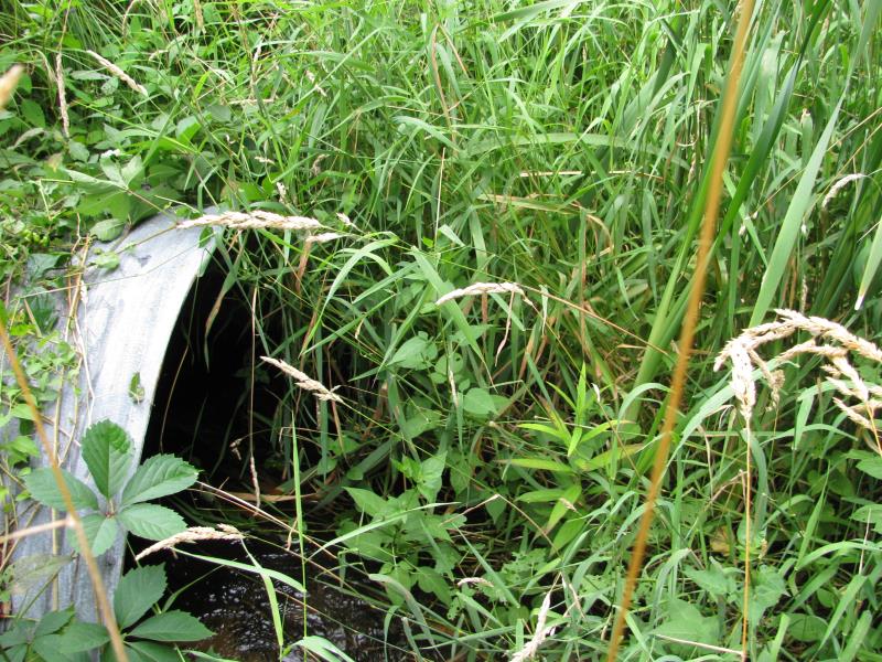
Inlet
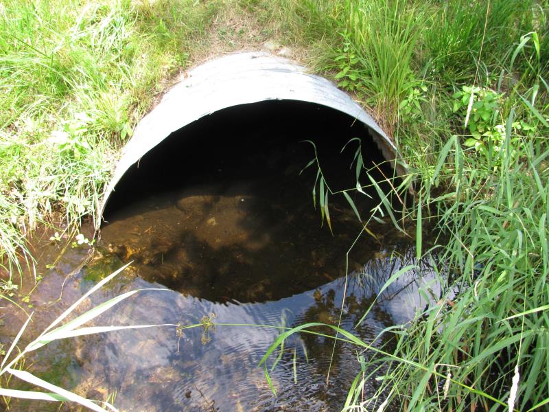
Outlet
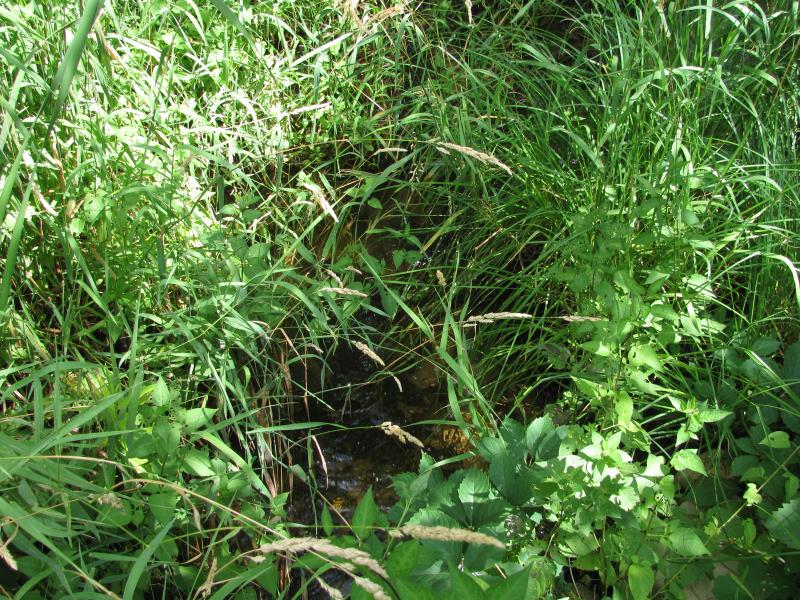
Upstream Conditions
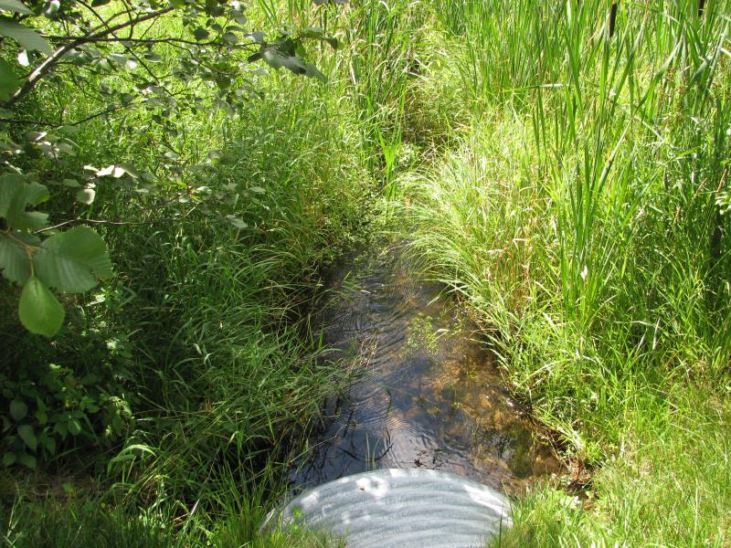
Downstream Conditions
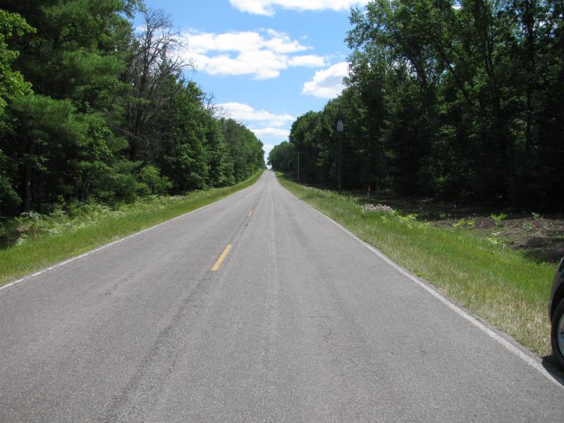
Road Approach - Left
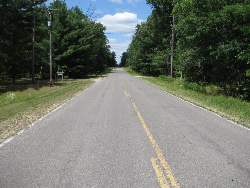
Road Approach - Right
Crossing Information
Type of Crossing: culvert(s)
Number of Structures: 1
Structure Shape: Ellipse
Inlet Type: Projecting
Outlet Type: At Stream Grade
Structure Material: Metal
Structure Substrate: Sand
General Conditions: Good
Structure Interior: corrugated
Dimensions of Structure: Length 68 ft.
, Width 4 ft.
, Height 3 ft.
Structure is NOT Perched
Structure Inlet
Water Depth: 0.9 ft.
Embedded Depth of Structure: 0 ft.
Water Velocity*: 1.9 ft./sec.
Structure Outlet
Water Depth: 1 ft.
Embedded Depth of Structure: 0.4 ft.
Water Velocity*: 0.9 ft./sec.
*Water Velocities were measured 0.5 ft. below Surface
(with Meter)
Stream Information
Stream Flow: Less than Bankfull
Scour Pool: Length 0 ft.
, Width 0 ft.
, Depth 0 ft.
Upstream Pond: Length 0 ft.
, Width 0 ft.
, Depth 0 ft.
Riffle Information
Water Depth: 0.6 ft.
Bankfull Width: 5.6 ft.
Wetted Width: 4.2 ft.
Water Velocity: 2 ft./sec.
(Measured with Meter)
Dominant Substrate: Sand
Road Information
Paved
County Road
Road Condition: Fair
Road Width at Culvert: 23 ft.
Location of Low Point: Other
Runoff Path: Roadway
Embankments
Upstream
Fill Depth: 3.5 ft.
Slope: More than 1:2
Downstream
Fill Depth: 3.7 ft.
Slope: More than 1:2
Approaches
Left Approach
Length: 0 ft.
Slope: 1% to 5%
Vegetation: Partial
LS Factor: 0.22
Erosion: 0 tons/year
Right Approach
Length: 840 ft.
Slope: 1% to 5%
Vegetation: Partial
LS Factor: 0.76
Erosion: 0.4854 tons/year
Erosion Information
Total Erosion at Crossing: 0.4854 tons/year
Summary Information
Fish Passability 1
�