Road Stream Crossing Site MAN_MA_030
Big Manistee River Watershed, Unknown (tributary to Manistee River)
US-31
Manistee Twp,
Manistee County
Information collected by:
Site Location
GPS Coordinates: 44.29168
, -86.23175
T22N
R16W
Sec 22
Owned by Private
Other
Other
Structure is NOT Perched
Total Erosion: 1.8843 tons/year
Severity: Moderate
Year Inventoried: 2014
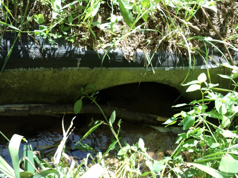
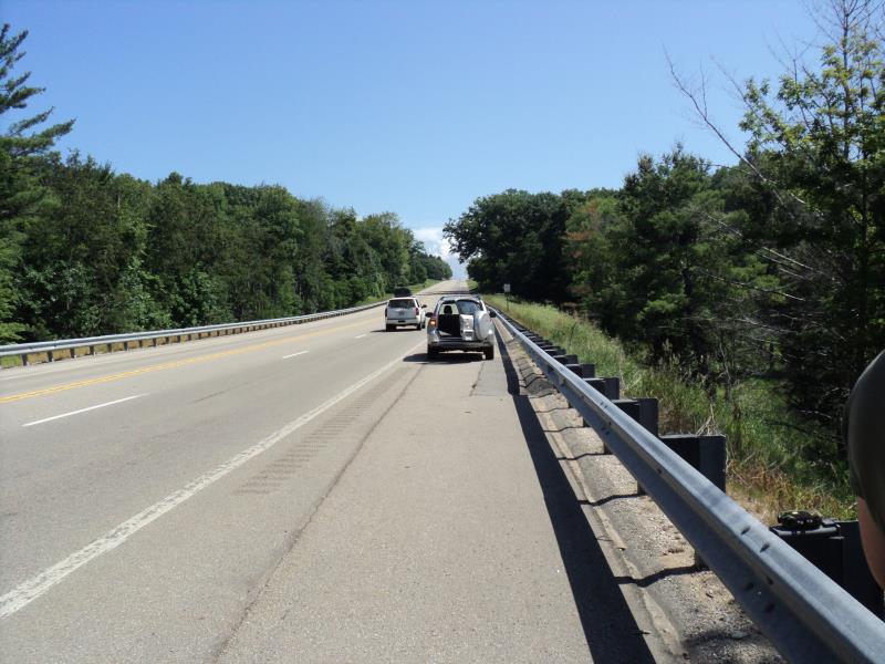
Inlet
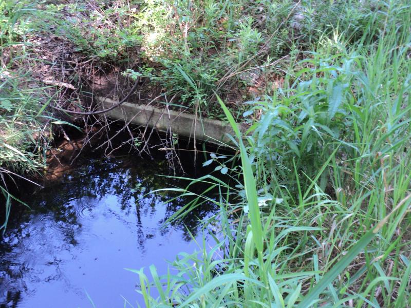
Outlet
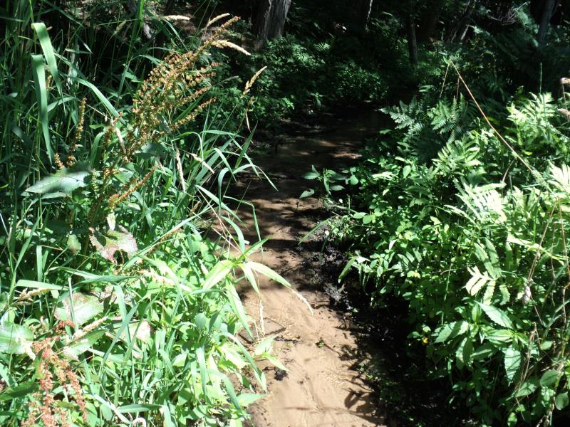
Upstream Conditions
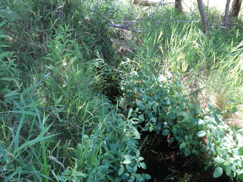
Downstream Conditions
Road Approach - Left
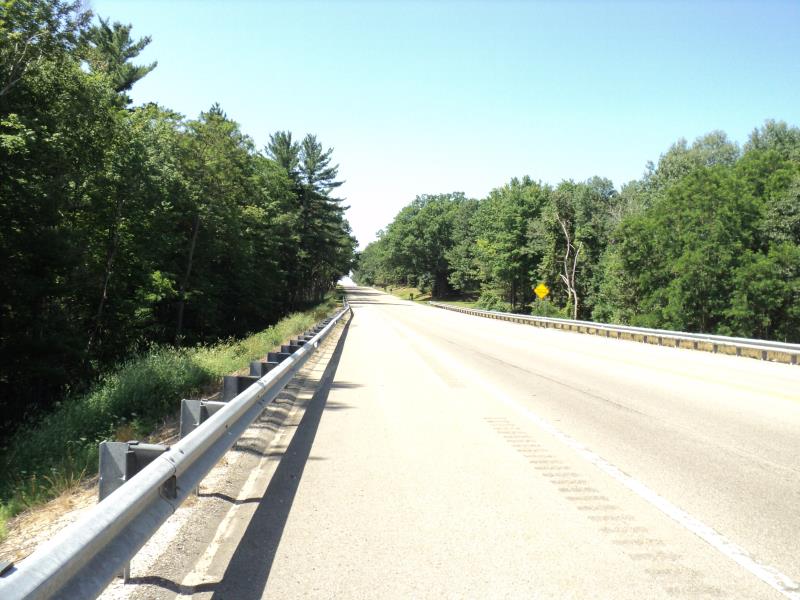
Road Approach - Right
Crossing Information
Type of Crossing: culvert(s)
Number of Structures: 1
Structure Shape: Round
Inlet Type: Headwall
Outlet Type: At Stream Grade
Structure Material: Concrete
Structure Substrate: Sand
General Conditions: Fair
Structure Interior: smooth
Dimensions of Structure: Length 110 ft.
, Width 2 ft.
, Height 2 ft.
Percentage Plugged:
Inlet: 51% to 75%
Outlet: 0%
In Pipe: 0%
Structure is NOT Perched
Structure Inlet
Water Depth: 0.1 ft.
Embedded Depth of Structure: 1.2 ft.
Water Velocity*: 0.6 ft./sec.
Structure Outlet
Water Depth: 1.8 ft.
Embedded Depth of Structure: 0.2 ft.
Water Velocity*: 0.1 ft./sec.
*Water Velocities were measured 0.2 ft. below Surface
(with Meter)
Additional Comments
Tribal land adjacent.
Stream Information
Stream Flow: Less than Bankfull
Scour Pool: Length 0 ft.
, Width 0 ft.
, Depth 0 ft.
Upstream Pond: Length 0 ft.
, Width 0 ft.
, Depth 0 ft.
Riffle Information
Water Depth: 0.2 ft.
Bankfull Width: 8 ft.
Wetted Width: 5 ft.
Water Velocity: 0.2 ft./sec.
(Measured with Meter)
Dominant Substrate: Sand
Road Information
Paved
State Road
Road Condition: Good
Road Width at Culvert: 50 ft.
Location of Low Point: At Stream
Runoff Path: Roadway
Embankments
Upstream
Fill Depth: 15.4 ft.
Slope: 1:2
Downstream
Fill Depth: 15.4 ft.
Slope: 1:2
Approaches
Left Approach
Length: 1000 ft.
Slope: 1% to 5%
Vegetation: Heavy
LS Factor: 0.57
Erosion: 0.9421 tons/year
Right Approach
Length: 1000 ft.
Slope: 1% to 5%
Vegetation: Heavy
LS Factor: 0.57
Erosion: 0.9421 tons/year
Erosion Information
Total Erosion at Crossing: 1.8843 tons/year
Extent of Erosion: Moderate
Summary Information
Fish Passage is an area of concern for this site.
Possibly for fish passage and spring runoff.
�