Road Stream Crossing Site MAN_MA_032
Big Manistee River Watershed, Chief Creek
Kerry Rd
Brown Twp,
Manistee County
Information collected by:
Site Location
GPS Coordinates: 44.32946
, -86.1314
T22N
R15W
Sec 4
Owned by Private
Perch Height: 1 ft.
Total Erosion: 6.2908 tons/year
Severity: Severe
Year Inventoried: 2014
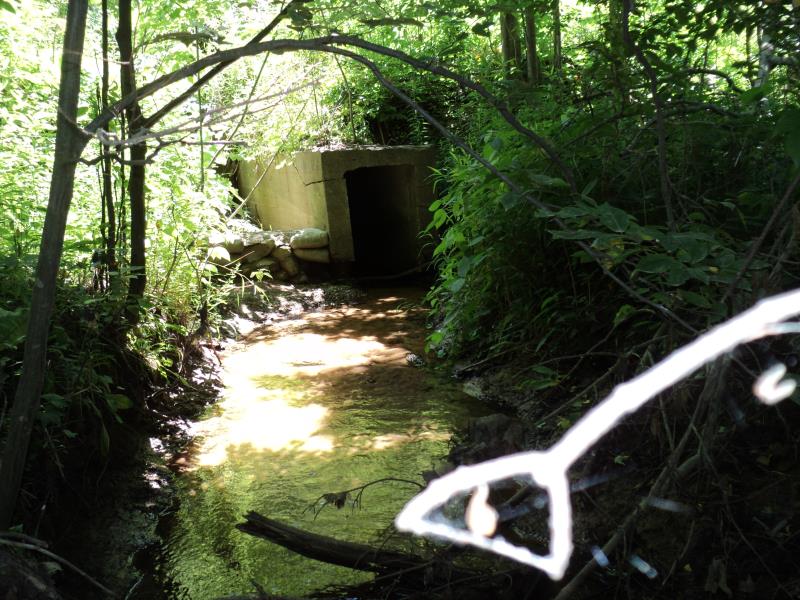
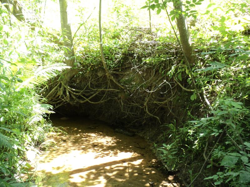
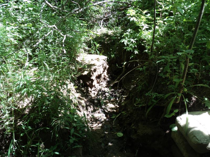
Inlet
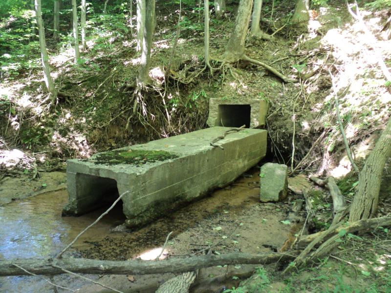
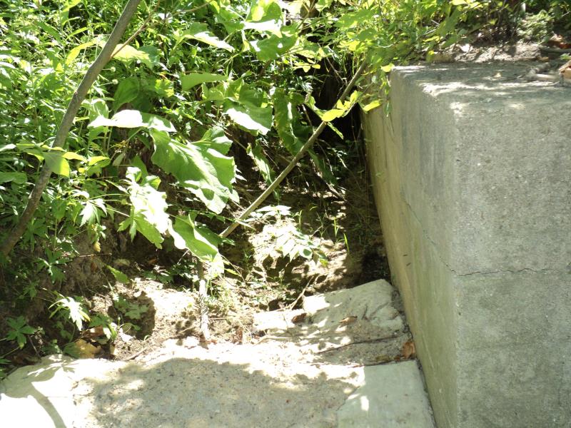
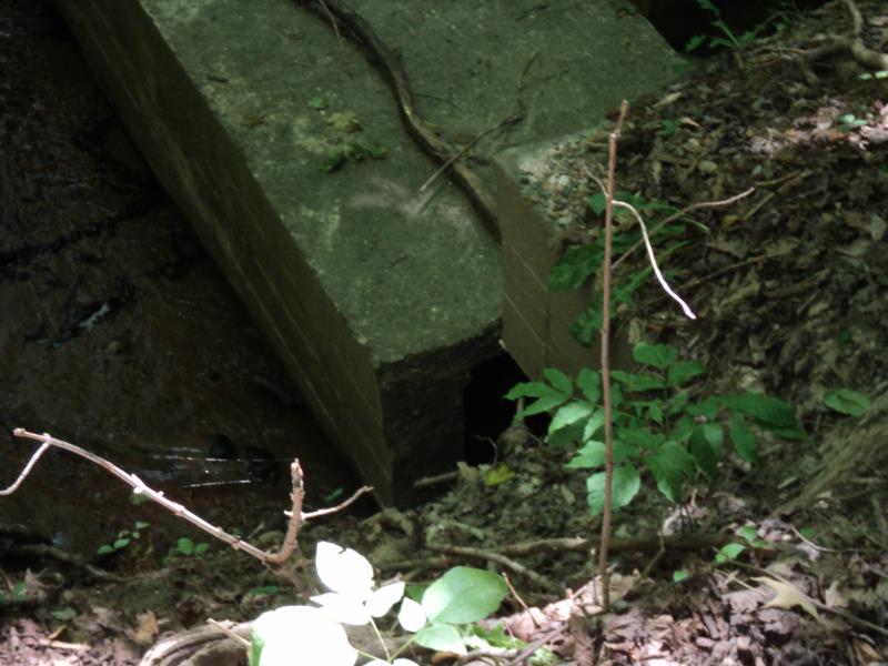
Outlet
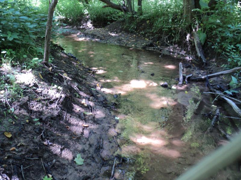
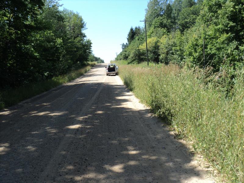
Upstream Conditions
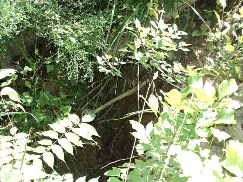
Downstream Conditions
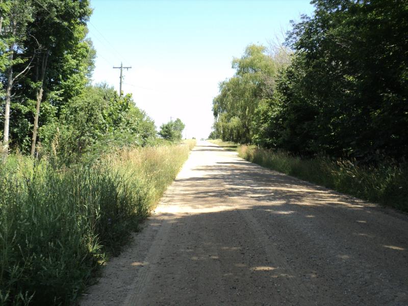
Road Approach - Left
Road Approach - Right
Erosion
Erosion
Erosion
Other
Other
Crossing Information
Type of Crossing: culvert(s)
Number of Structures: 1
Structure Shape: Square/Rectangle
Inlet Type: Projecting
Outlet Type: Freefall onto Riprap
Structure Material: Concrete
Structure Substrate: None
General Conditions: Poor
Structure Interior: smooth
Dimensions of Structure: Length 80 ft.
, Width 2 ft.
, Height 4 ft.
Percentage Plugged:
Inlet: 1% to 25%
Outlet: 0%
In Pipe: 0%
Perch Height: 1 ft.
Structure Inlet
Water Depth: 0.3 ft.
Embedded Depth of Structure: 0 ft.
Water Velocity*: 1.5 ft./sec.
Structure Outlet
Water Depth: 0.2 ft.
Embedded Depth of Structure: 0 ft.
Water Velocity*: 0.7 ft./sec.
*Water Velocities were measured 0.3 ft. below Surface
(with Meter)
Stream Information
Stream Flow: Less than Bankfull
Scour Pool: Length 0 ft.
, Width 0 ft.
, Depth 0 ft.
Upstream Pond: Length 0 ft.
, Width 0 ft.
, Depth 0 ft.
Riffle Information
Water Depth: 0.3 ft.
Bankfull Width: 12 ft.
Wetted Width: 4 ft.
Water Velocity: 1.5 ft./sec.
(Measured with Meter)
Dominant Substrate: Gravel
Road Information
Gravel
County Road
Road Condition: Good
Road Width at Culvert: 20 ft.
Location of Low Point: At Stream
Runoff Path: Roadway
Embankments
Upstream
Fill Depth: 13.5 ft.
Slope: More than 1:2
Downstream
Fill Depth: 13.5 ft.
Slope: More than 1:2
Approaches
Left Approach
Length: 1000 ft.
Slope: 1% to 5%
Vegetation: Heavy
LS Factor: 0.57
Erosion: 3.1405 tons/year
Right Approach
Length: 750 ft.
Slope: 1% to 5%
Vegetation: Heavy
LS Factor: 0.543
Erosion: 2.2417 tons/year
Erosion Information
Total Erosion at Crossing: 6.2908 tons/year
Extent of Erosion: Moderate
Erosion is occurring and corrective actions can be installed to address the problem.
Location of Erosion | Erosion Dimensions | Eroded Material | Material Eroded | Total Erosion | ||
facing downstream | Length | Width | Depth | Reaching Stream? | (tons/year) | |
Left Upstream Embankment |
14 ft. |
3 ft. |
2.3 ft. |
yes |
Sandy Loam |
0.2164 |
Left Upstream Streambank |
16 ft. |
3 ft. |
3 ft. |
yes |
Sandy Loam |
0.3226 |
Right Upstream Streambank |
10 ft. |
1.7 ft. |
5.5 ft. |
yes |
Sandy Loam |
0.3696 |
Summary Information
Fish Passage is an area of concern for this site.
Yes, erosion and fish passage.
These non-native species were observerd at this site: Thistles
�