Road Stream Crossing Site MAN_MA_041
Big Manistee River Watershed, Pine Creek
Seaman Rd
Norman Twp,
Manistee County
Information collected by:
Site Location
GPS Coordinates: 44.19702
, -85.95255
T21N
R14W
Sec 24
Owned by Federal
Fish Passability 0.5
Structure is NOT Perched
Total Erosion: 0.0103 tons/year
Severity: Moderate
Year Inventoried: 2014
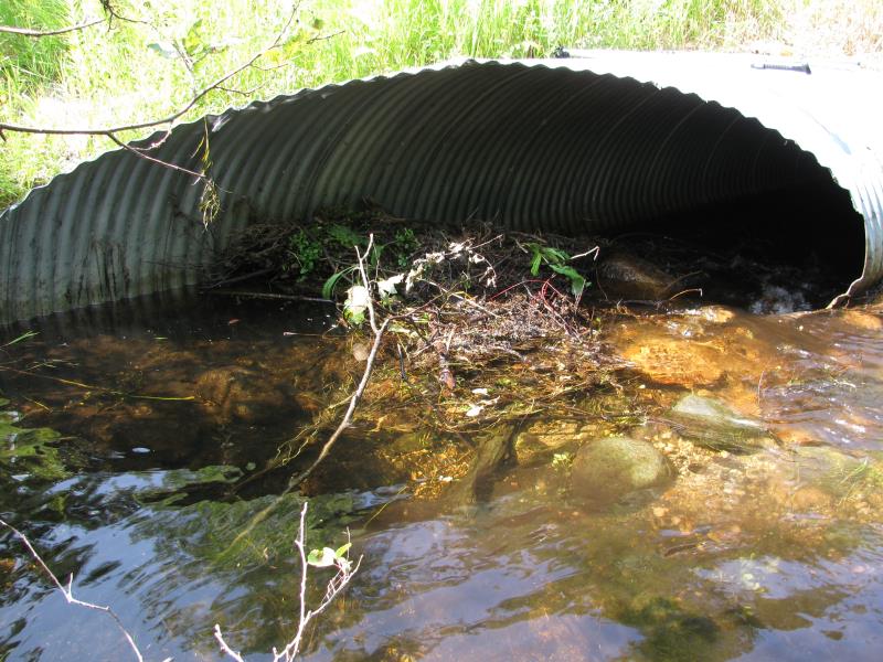
Inlet
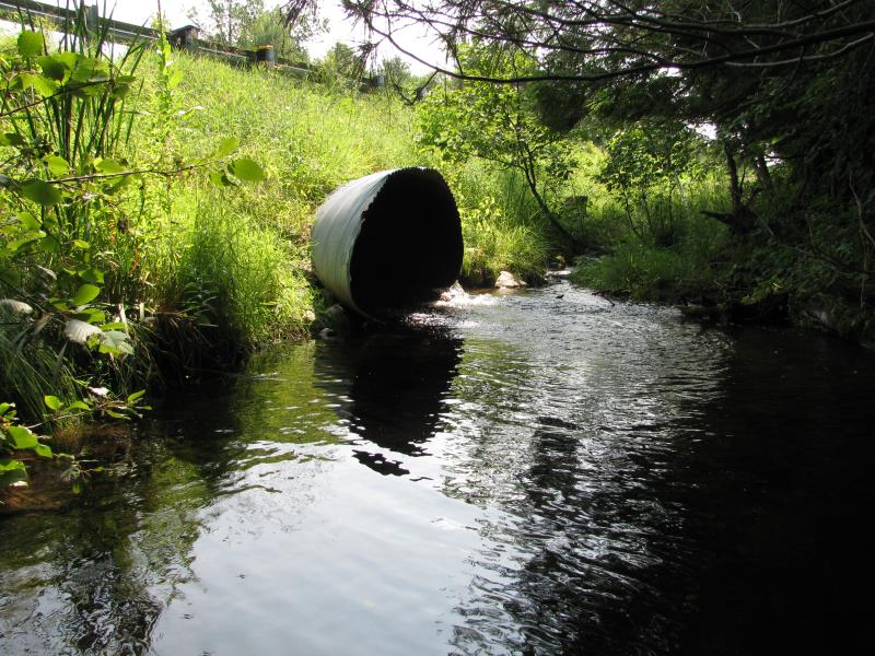
Outlet
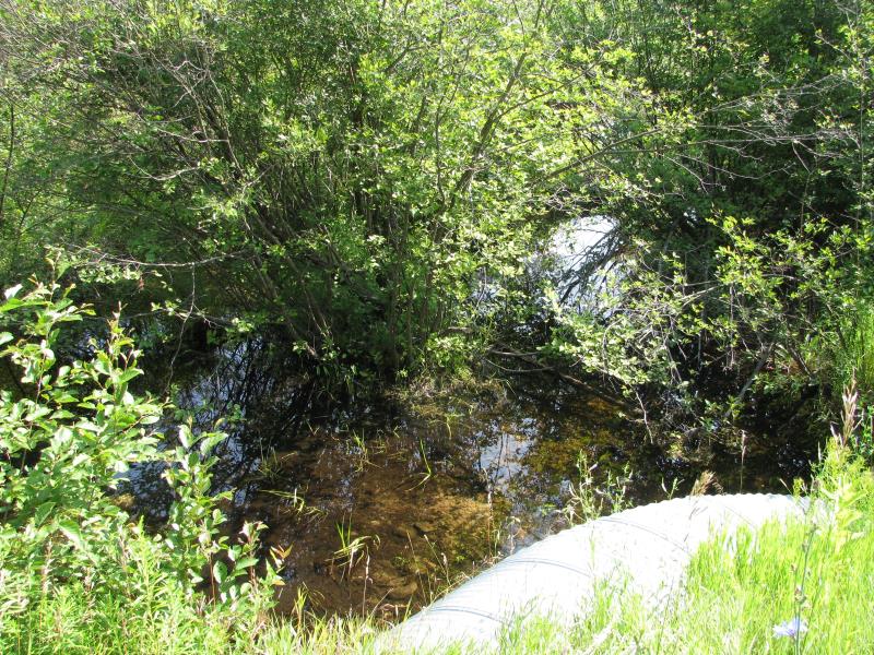
Upstream Conditions
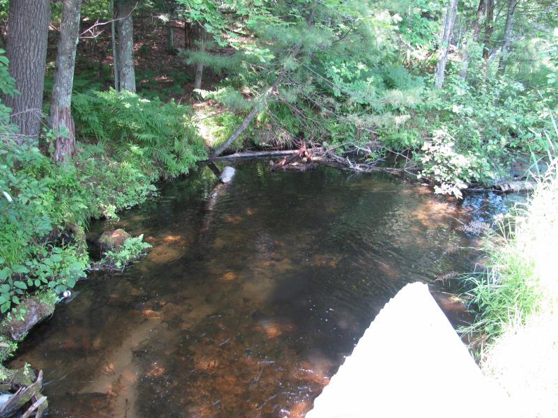
Downstream Conditions
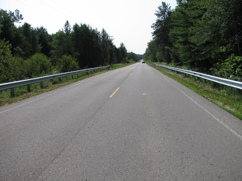
Road Approach - Left
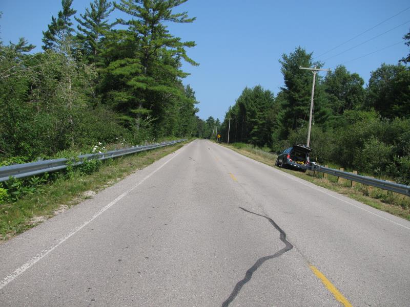
Road Approach - Right
Crossing Information
Type of Crossing: culvert(s)
Number of Structures: 1
Structure Shape: Ellipse
Inlet Type: Mitered
Outlet Type: At Stream Grade
Structure Material: Metal
Structure Substrate: Mixture
General Conditions: Good
Structure Interior: corrugated
Dimensions of Structure: Length 106.5 ft.
, Width 5.8 ft.
, Height 4.4 ft.
Percentage Plugged:
Inlet: 76% to 100%
Outlet: 0%
In Pipe: 0%
Structure is NOT Perched
Structure Inlet
Water Depth: 0.8 ft.
Embedded Depth of Structure: 0.1 ft.
Water Velocity*: 3 ft./sec.
Structure Outlet
Water Depth: 0.5 ft.
Embedded Depth of Structure: 0 ft.
Water Velocity*: 2.6 ft./sec.
*Water Velocities were measured 0.3 ft. below Surface
(with Meter)
Stream Information
Stream Flow: Less than Bankfull
Scour Pool: Length 26 ft.
, Width 22 ft.
, Depth 1.8 ft.
Upstream Pond: Length 17 ft.
, Width 22 ft.
, Depth 0.3 ft.
Riffle Information
Water Depth: 0.6 ft.
Bankfull Width: 15.5 ft.
Wetted Width: 12.8 ft.
Water Velocity: 0.9 ft./sec.
(Measured with Meter)
Dominant Substrate: Sand
Road Information
Paved
County Road
Road Condition: Good
Road Width at Culvert: 25 ft.
Location of Low Point: Other
Runoff Path: Ditch
Embankments
Upstream
Fill Depth: 4.9 ft.
Slope: More than 1:2
Downstream
Fill Depth: 4.5 ft.
Slope: More than 1:2
Approaches
Left Approach
Length: 0 ft.
Slope: Less Than 1%
Vegetation: Heavy
LS Factor: 0.05
Erosion: 0 tons/year
Right Approach
Length: 250 ft.
Slope: Less Than 1%
Vegetation: Heavy
LS Factor: 0.05
Erosion: 0.0103 tons/year
Erosion Information
Total Erosion at Crossing: 0.0103 tons/year
Summary Information
Fish Passability 0.5
A future visit to this site is recommended. Beaver activity present which has impounded water and plugged the culvert. Could lead to heavier impounded water and erosion around road, and potenially washout. We cleared some upstream plugging and very much improved the flow.
�