Road Stream Crossing Site MAN_OT_002
Big Manistee River Watershed, Frenchman Creek
Ekelund Trail
Hayes Twp,
Otsego County
Information collected by:
Site Location
GPS Coordinates: 44.8932
, -84.82805
T30N
R4W
Sec 19
Owned by Private
Structure is NOT Perched
Total Erosion: 0.2014 tons/year
Severity: Severe
Year Inventoried: 2014
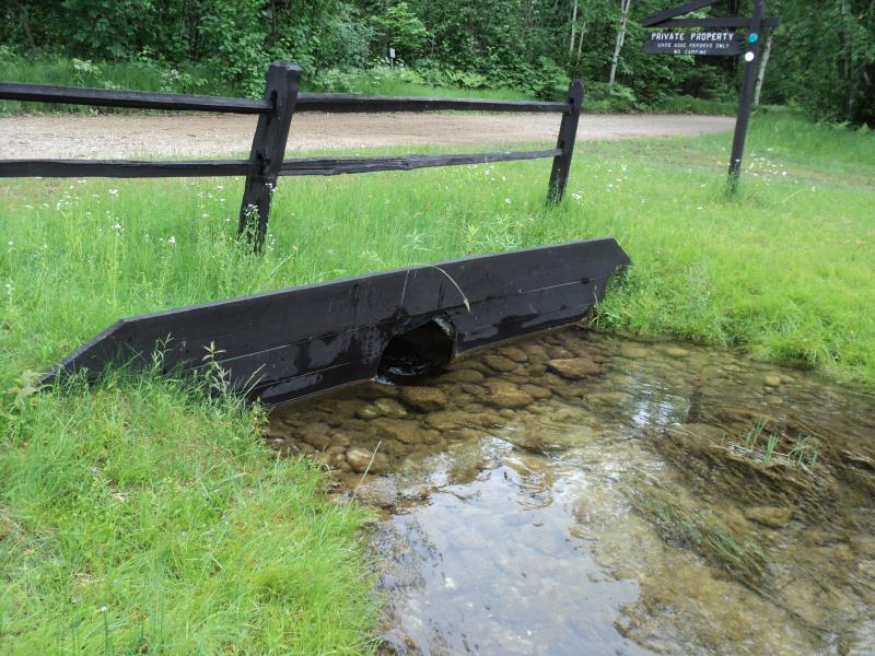
Inlet
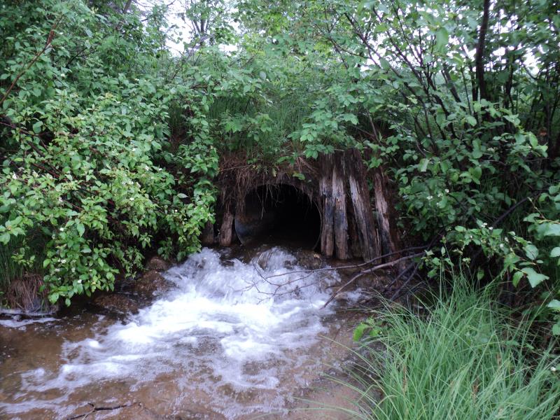
Outlet
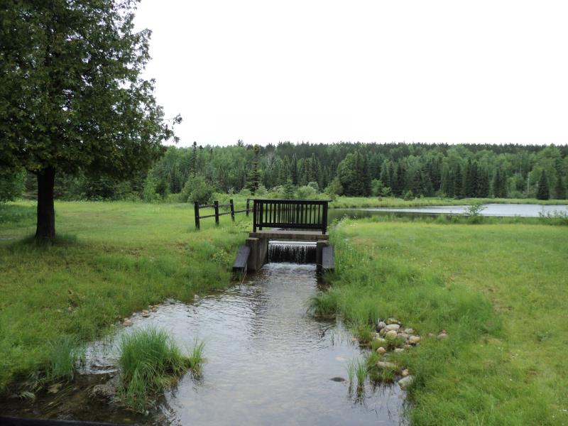
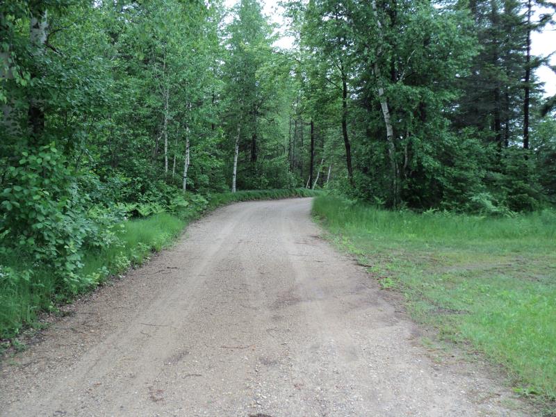
Upstream Conditions
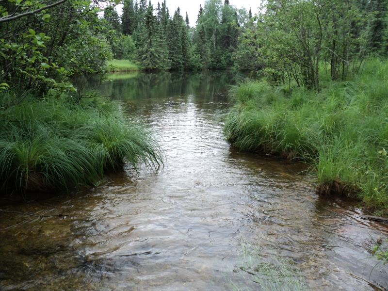
Downstream Conditions
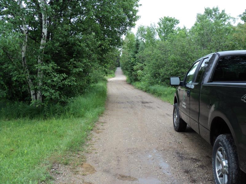
Road Approach - Left
Road Approach - Right
Crossing Information
Type of Crossing: culvert(s)
Number of Structures: 1
Structure Shape: Ellipse
Inlet Type: Projecting
Outlet Type: At Stream Grade
Structure Material: Metal
Structure Substrate: None
General Conditions: Fair
Structure Interior: corrugated
Dimensions of Structure: Length 32 ft.
, Width 3 ft.
, Height 2.4 ft.
Structure is NOT Perched
Structure Inlet
Water Depth: 1 ft.
Embedded Depth of Structure: 0.1 ft.
Water Velocity*: 3.9 ft./sec.
Structure Outlet
Water Depth: 0.6 ft.
Embedded Depth of Structure: 0 ft.
Water Velocity*: 6.3 ft./sec.
*Water Velocities were measured 0.7 ft. below Surface
(with Meter)
Additional Comments
Private Association.
Stream Information
Stream Flow: Bankfull
Scour Pool: Length 0 ft.
, Width 0 ft.
, Depth 0 ft.
Upstream Pond: Length 0 ft.
, Width 0 ft.
, Depth 0 ft.
Riffle Information
Water Depth: 1.8 ft.
Bankfull Width: 9 ft.
Wetted Width: 9 ft.
Water Velocity: 1.5 ft./sec.
(Measured with Meter)
Dominant Substrate: Gravel
Road Information
Gravel
Private Road
Road Condition: Fair
Road Width at Culvert: 13 ft.
Location of Low Point: At Stream
Runoff Path: Roadway
Embankments
Upstream
Fill Depth: 0.8 ft.
Slope: More than 1:2
Downstream
Fill Depth: 1.8 ft.
Slope: More than 1:2
Approaches
Left Approach
Length: 1000 ft.
Slope: Less Than 1%
Vegetation: Heavy
LS Factor: 0.05
Erosion: 0.1791 tons/year
Right Approach
Length: 125 ft.
Slope: Less Than 1%
Vegetation: Heavy
LS Factor: 0.05
Erosion: 0.0224 tons/year
Erosion Information
Total Erosion at Crossing: 0.2014 tons/year
Extent of Erosion: Moderate
Summary Information
Erosion is an area of concern for this site.
No, private association.
�