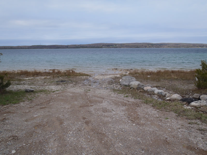
Road Stream Crossing Site CHAR_EV07
Lake Charlevoix Watershed, Lake Charlevoix
Sanderson Rd
Eveline Twp,
Charlevoix County
Information collected by:
Site Location
GPS Coordinates: 45.2669
, -85.1698
T33N
R07W
Sec 9
Owned by Private
Severity: Minor
Year Inventoried: 2011
Contact Point
Crossing Information
Type of Crossing: Contact Point
Additional Comments
Public access
Road Information
Gravel
County Road
Road Condition: Fair
Road Width at Culvert: 15 ft.
Location of Low Point: At Stream
Runoff Path: Ditch
Erosion Information
Extent of Erosion: Minor
Erosion is occurring and corrective actions can be installed to address the problem.
Notes: Some erosion of the access road
Summary Information
�