
Road Stream Crossing Site MAN_WE_053
Big Manistee River Watershed, Manistee River
19 Rd
Hanover Twp,
Wexford County
Information collected by:

Site Location
GPS Coordinates: 44.43927
, -85.64241
T24N
R11W
Sec 33
Owned by State
Fish Passability 0.5
Structure is NOT Perched
Total Erosion: 0.3999 tons/year
Severity: Moderate
Year Inventoried: 2014
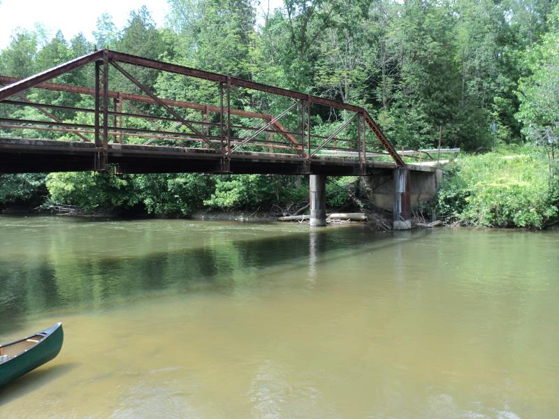
Inlet
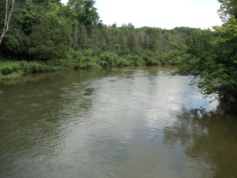
Upstream Conditions
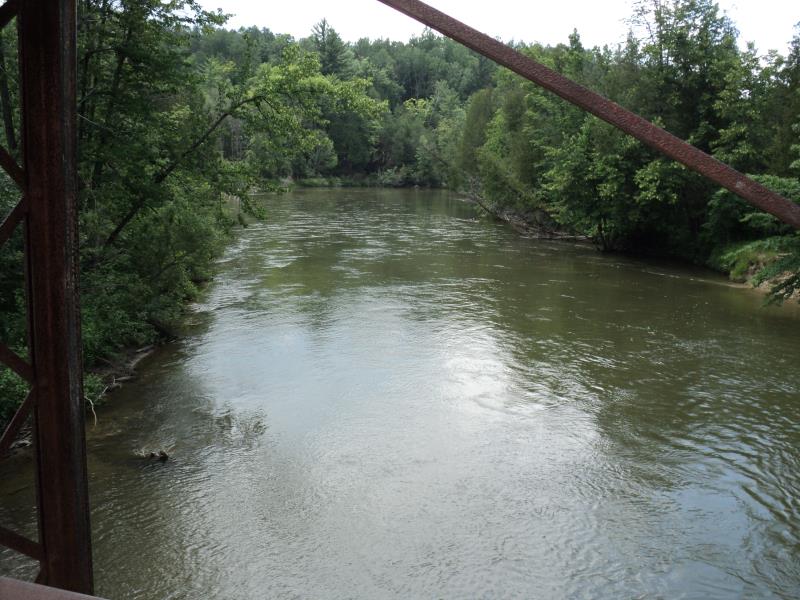
Downstream Conditions
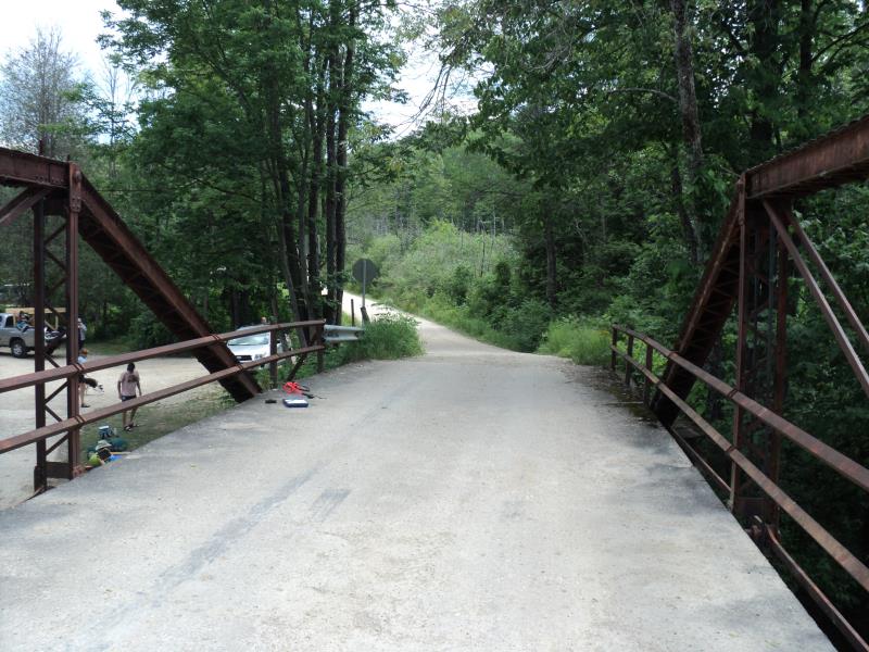
Road Approach - Left
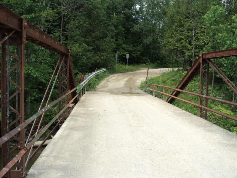
Road Approach - Right
Crossing Information
Type of Crossing: Bridge
Structure Shape: Open Bottom Square/Rectangle
Inlet Type: Other
Outlet Type: At Stream Grade
Structure Material: Metal
Structure Substrate: Sand
General Conditions: Good
Structure Interior: smooth
Dimensions of Structure: Length 16 ft.
, Width 116 ft.
, Height 13 ft.
Structure is NOT Perched
Structure Inlet
Water Depth: 3.6 ft.
Embedded Depth of Structure: 0 ft.
Water Velocity*: 2.3 ft./sec.
Structure Outlet
Water Depth: 3.7 ft.
Embedded Depth of Structure: 0 ft.
Water Velocity*: 2.3 ft./sec.
*Water Velocities were measured 2 ft. below Surface
(with Meter)
Additional Comments
No riffle data available- Main branch Manistee
Stream Information
Stream Flow: Less than Bankfull
Scour Pool: Length 0 ft.
, Width 0 ft.
, Depth 0 ft.
Upstream Pond: Length 0 ft.
, Width 0 ft.
, Depth 0 ft.
Riffle Information
Water Depth: 0 ft.
Bankfull Width: 0 ft.
Wetted Width: 0 ft.
Water Velocity: 0 ft./sec.
Dominant Substrate: n/a
Road Information
Gravel
County Road
Road Condition: Poor
Road Width at Culvert: 16 ft.
Location of Low Point: At Stream
Runoff Path: Roadway
Fill Depth: 0 ft.
Slope: Vertical
Fill Depth: 0 ft.
Slope: Vertical
Approaches
Left Approach
Length: 0 ft.
Slope: Less Than 1%
Vegetation: Heavy
LS Factor: 0.05
Erosion: 0 tons/year
Right Approach
Length: 210 ft.
Slope: 1% to 5%
Vegetation: Heavy
LS Factor: 0.432
Erosion: 0.3999 tons/year
Erosion Information
Total Erosion at Crossing: 0.3999 tons/year
Summary Information
Fish Passability 0.5