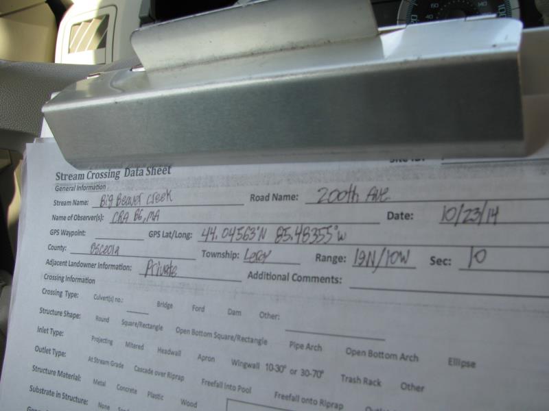
Road Stream Crossing Site P029
Pine River Watershed, Big Beaver Creek
200th Ave
Leroy Twp,
Osceola County
Information collected by:
Site Location
GPS Coordinates: 44.04608
, -85.48363
T19N
R10W
Sec 10
Owned by Private
Structure is NOT Perched
Total Erosion: 0.6197 tons/year
Severity: Moderate
Year Inventoried: 2014
Site ID
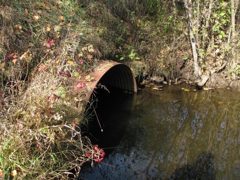
Inlet
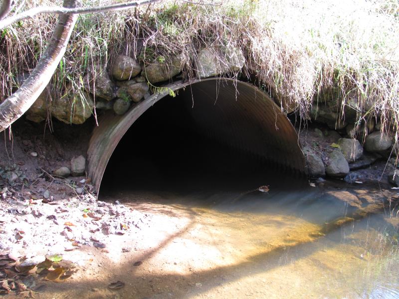
Outlet
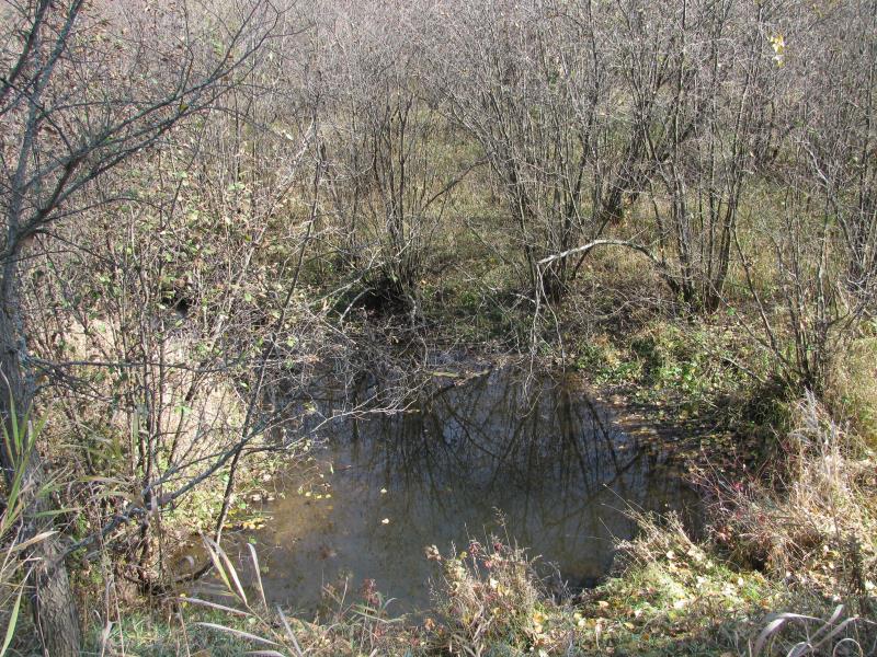
Upstream Conditions
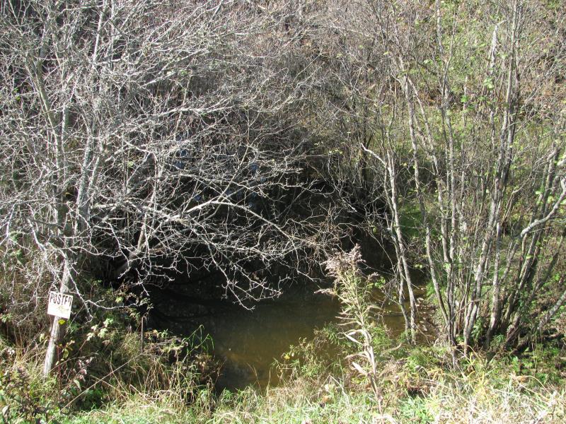
Downstream Conditions
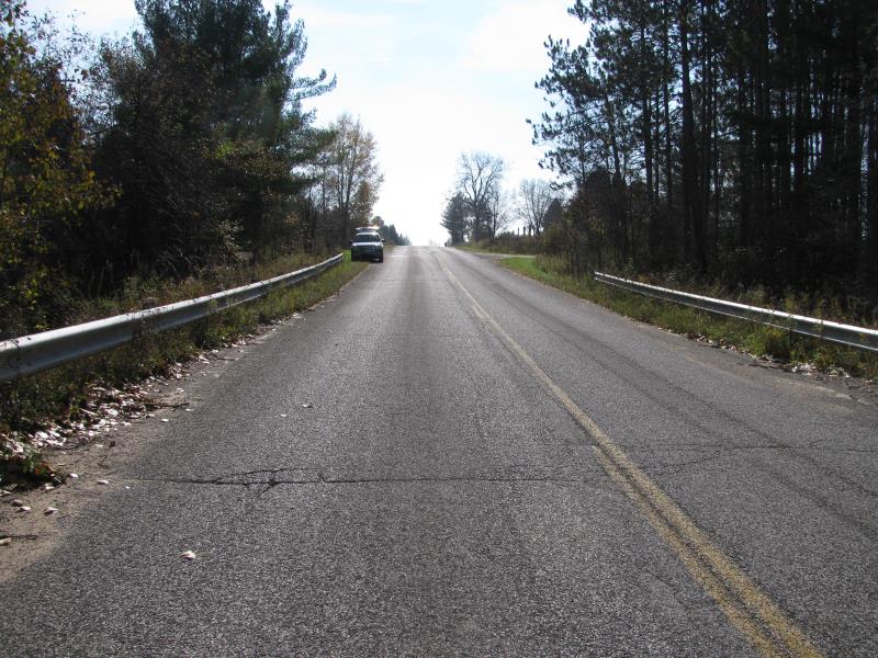
Road Approach - Left
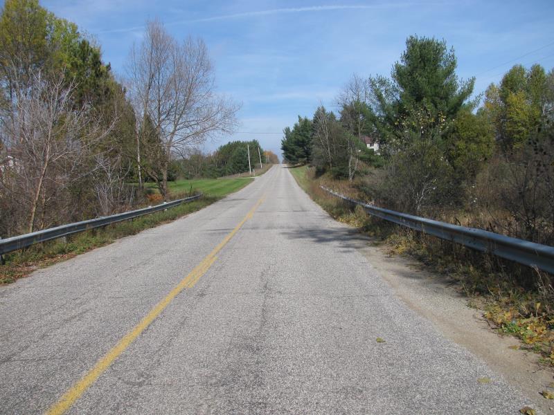
Road Approach - Right
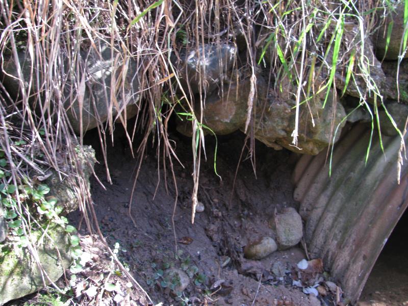
Erosion
Crossing Information
Type of Crossing: culvert(s)
Number of Structures: 1
Structure Shape: Ellipse
Inlet Type: Projecting
Outlet Type: At Stream Grade
Structure Material: Metal
Structure Substrate: Sand
General Conditions: Fair
Structure Interior: corrugated
Dimensions of Structure: Length 60 ft.
, Width 6 ft.
, Height 5.6 ft.
Structure is NOT Perched
Structure Inlet
Water Depth: 3.1 ft.
Embedded Depth of Structure: 0.2 ft.
Water Velocity*: 0.2 ft./sec.
Structure Outlet
Water Depth: 1.9 ft.
Embedded Depth of Structure: 1.3 ft.
Water Velocity*: 0.2 ft./sec.
*Water Velocities were measured 0.8 ft. below Surface
(with Meter)
Stream Information
Stream Flow: Less than Bankfull
Scour Pool: Length 25 ft.
, Width 30 ft.
, Depth 2.7 ft.
Upstream Pond: Length 50 ft.
, Width 30 ft.
, Depth 3 ft.
Riffle Information
Water Depth: 0.6 ft.
Bankfull Width: 13 ft.
Wetted Width: 11 ft.
Water Velocity: 0.4 ft./sec.
(Measured with Meter)
Dominant Substrate: Sand
Road Information
Paved
County Road
Road Condition: Good
Road Width at Culvert: 29 ft.
Location of Low Point: At Stream
Runoff Path: Roadway
Embankments
Upstream
Fill Depth: 11.5 ft.
Slope: 1:2
Downstream
Fill Depth: 10 ft.
Slope: 1:2
Approaches
Left Approach
Length: 250 ft.
Slope: 1% to 5%
Vegetation: Heavy
LS Factor: 0.44
Erosion: 0.1055 tons/year
Right Approach
Length: 800 ft.
Slope: 1% to 5%
Vegetation: Heavy
LS Factor: 0.55
Erosion: 0.4218 tons/year
Erosion Information
Total Erosion at Crossing: 0.6197 tons/year
Extent of Erosion: Moderate
Erosion is occurring and corrective actions can be installed to address the problem.
Notes:
Erosion directly below washout hole on west side of road.
Location of Erosion | Erosion Dimensions | Eroded Material | Material Eroded | Total Erosion | ||
facing downstream | Length | Width | Depth | Reaching Stream? | (tons/year) | |
Right Downstream Embankment |
4 ft. |
2.5 ft. |
3 ft. |
yes |
Sand |
0.0924 |
Summary Information
Erosion is an area of concern for this site.
A future visit to this site is recommended.
Yes, monitor erosion/washout hole at road and sediment load in outlet.
�