Road Stream Crossing Site P057
Pine River Watershed, Tributary to Rose Lake outlet
Tustin Rd
Burdell Twp,
Osceola County
Information collected by:
Site Location
GPS Coordinates: 44.11611
, -85.45916
T20N
R10W
Sec 24
Owned by Private
Structure is NOT Perched
Total Erosion: 0.9504 tons/year
Severity: Severe
Year Inventoried: 2014

Site ID
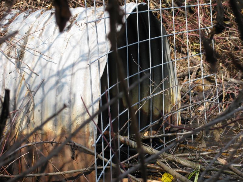
Inlet
Outlet
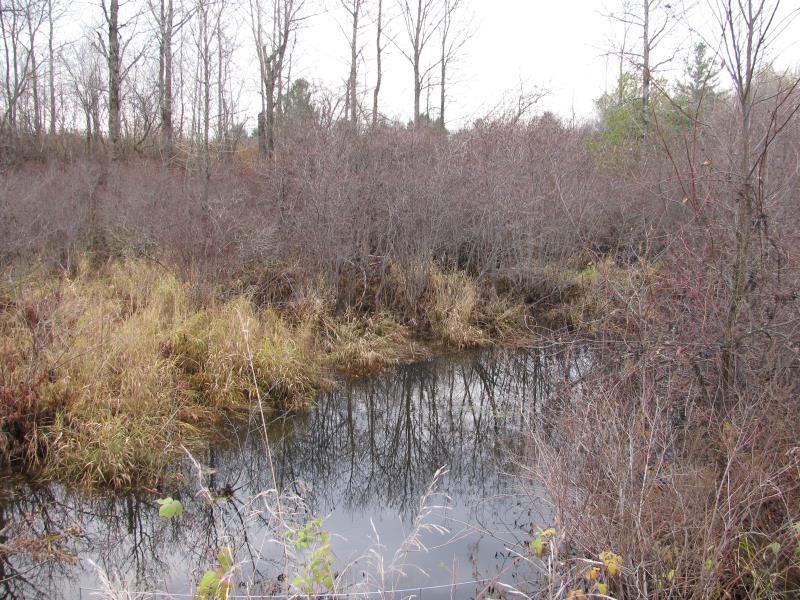
Upstream Conditions
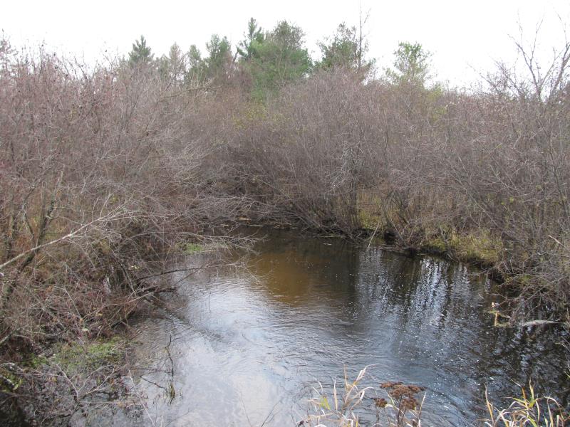
Downstream Conditions
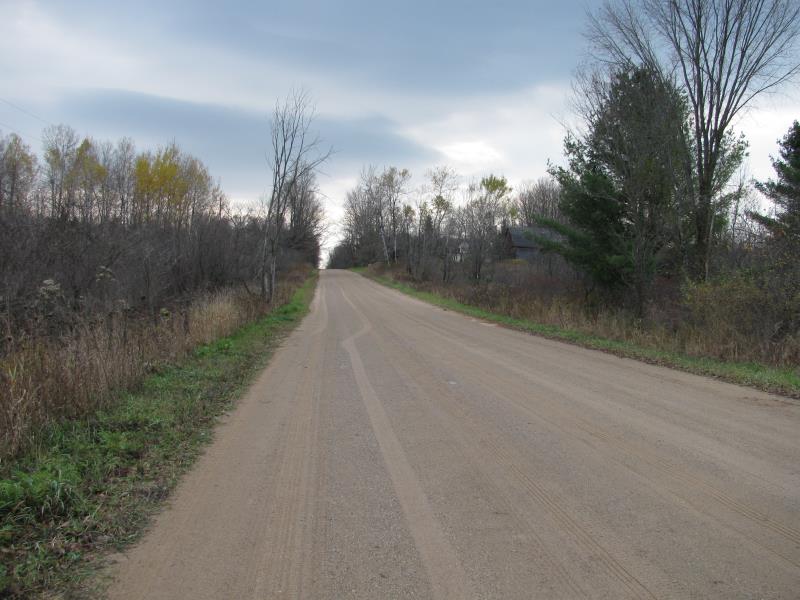
Road Approach - Left
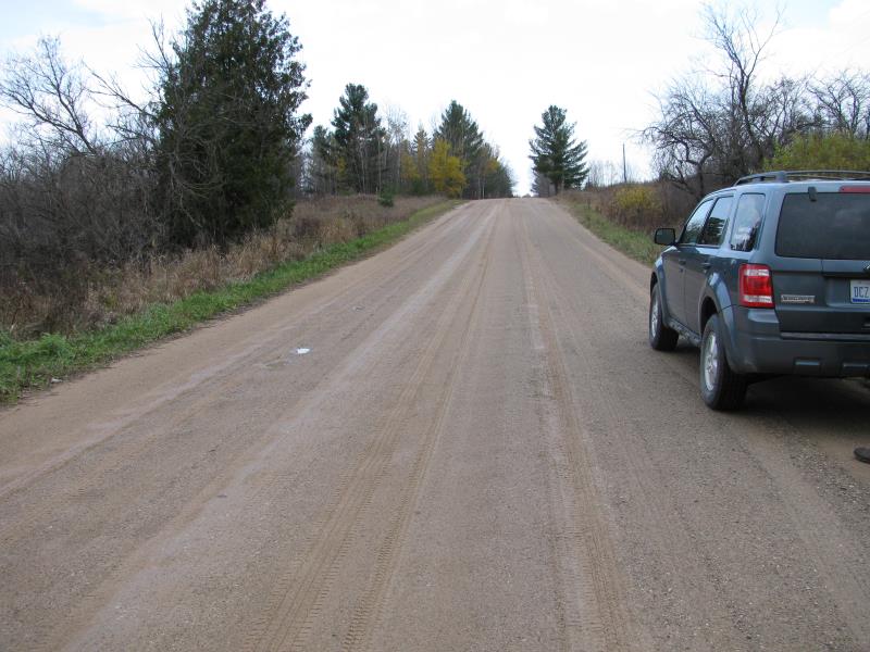
Road Approach - Right
Crossing Information
Type of Crossing: culvert(s)
Number of Structures: 1
Structure Shape: Round
Inlet Type: Trash Rack
Outlet Type: At Stream Grade
Structure Material: Metal
Structure Substrate: None
General Conditions: Fair
Structure Interior: corrugated
Dimensions of Structure: Length 60 ft.
, Width 5 ft.
, Height 5 ft.
Percentage Plugged:
Inlet: 1% to 25%
Outlet: 0%
In Pipe: 0%
Structure is NOT Perched
Structure Inlet
Water Depth: 0.6 ft.
Embedded Depth of Structure: 0 ft.
Water Velocity*: 1.5 ft./sec.
Structure Outlet
Water Depth: 1 ft.
Embedded Depth of Structure: 0 ft.
Water Velocity*: 3.5 ft./sec.
*Water Velocities were measured 0.5 ft. below Surface
(with Meter)
Additional Comments
Beaver activity at inlet
Stream Information
Stream Flow: Less than Bankfull
Scour Pool: Length 60 ft.
, Width 33 ft.
, Depth 3 ft.
Upstream Pond: Length 0 ft.
, Width 0 ft.
, Depth 0 ft.
Riffle Information
Water Depth: 1 ft.
Bankfull Width: 20 ft.
Wetted Width: 15 ft.
Water Velocity: 0.2 ft./sec.
(Measured with Meter)
Dominant Substrate: Sand
Road Information
Gravel
County Road
Road Condition: Good
Road Width at Culvert: 25 ft.
Location of Low Point: Other
Runoff Path: Roadway
Embankments
Upstream
Fill Depth: 2.6 ft.
Slope: More than 1:2
Downstream
Fill Depth: 3 ft.
Slope: More than 1:2
Approaches
Left Approach
Length: 0 ft.
Slope: 1% to 5%
Vegetation: Heavy
LS Factor: 0.26
Erosion: 0 tons/year
Right Approach
Length: 300 ft.
Slope: 1% to 5%
Vegetation: Heavy
LS Factor: 0.46
Erosion: 0.9504 tons/year
Erosion Information
Total Erosion at Crossing: 0.9504 tons/year
Extent of Erosion: Moderate
Summary Information
Erosion is an area of concern for this site.
A future visit to this site is recommended.
Monitor extensive beaver activity at inlet, potential to block completely block stream and flood/ washout roadway
�