Road Stream Crossing Site P154
Pine River Watershed, Fairchild Creek
50 1/2 Rd
Cherry Grove Twp,
Wexford County
Information collected by:
Site Location
GPS Coordinates: 44.17258
, -85.53202
T21N
R10W
Sec 33
Owned by Federal
Fish Passability 1
Structure is NOT Perched
Total Erosion: 0.1886 tons/year
Severity: Minor
Year Inventoried: 2014
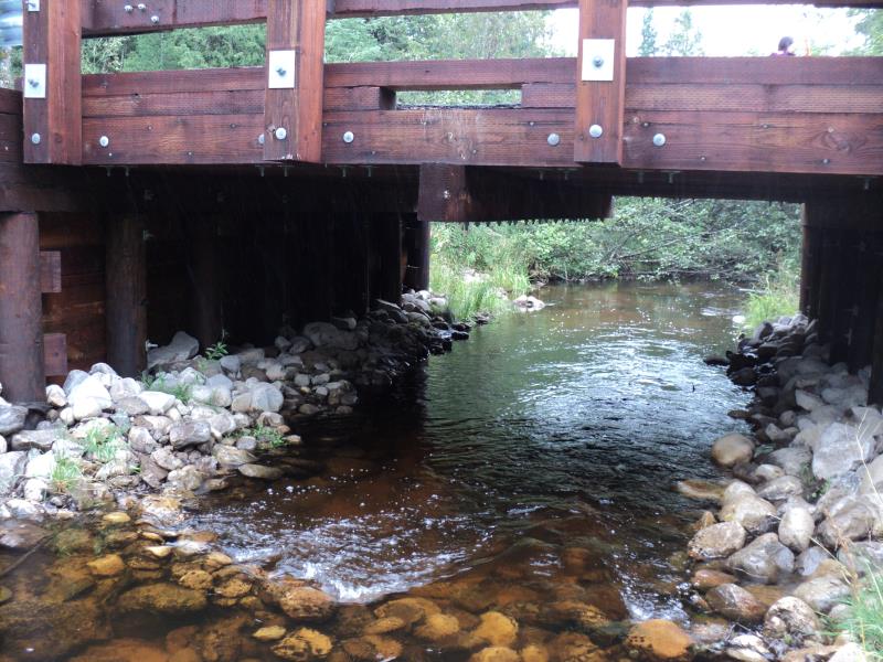
Inlet
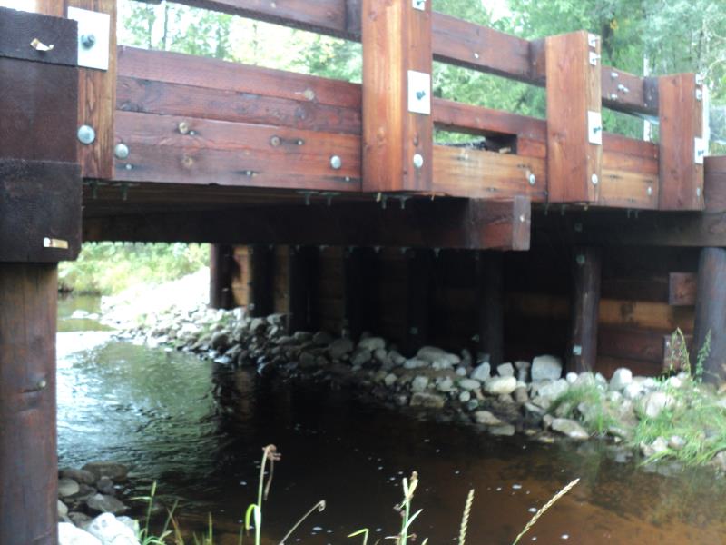
Outlet
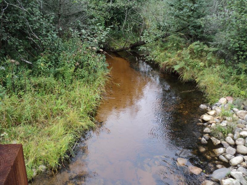
Upstream Conditions
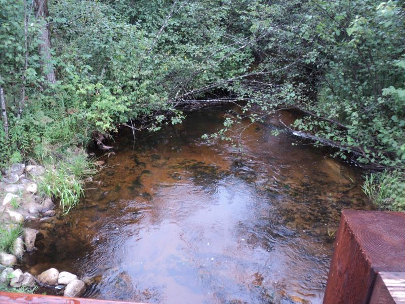
Downstream Conditions
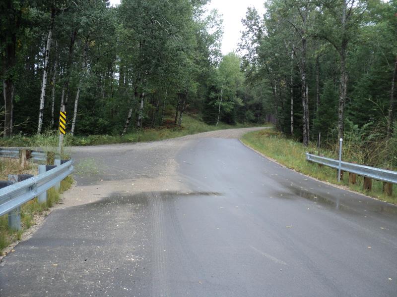
Road Approach - Left
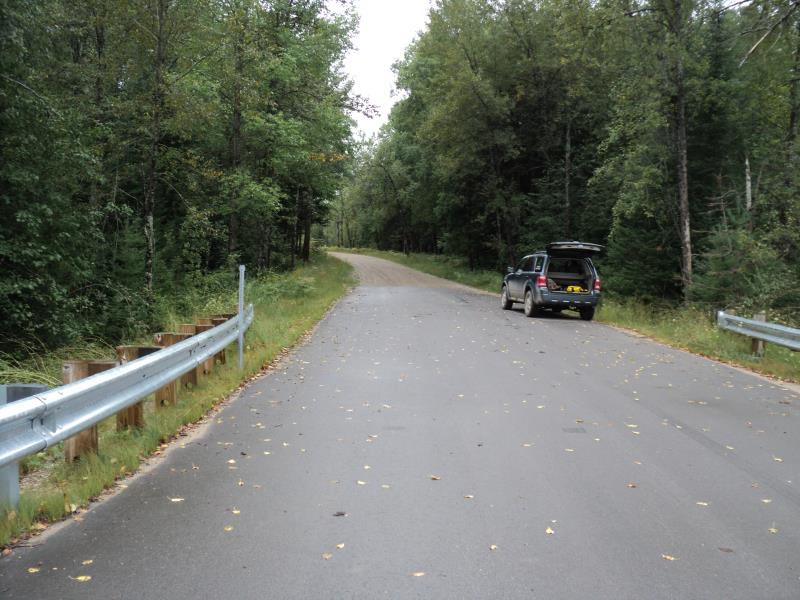
Road Approach - Right
Crossing Information
Type of Crossing: Bridge
Structure Shape: Open Bottom Square/Rectangle
Inlet Type: Wingwall 30-70 Degree
Outlet Type: At Stream Grade
Structure Material: Wood
Structure Substrate: Sand
General Conditions: New
Structure Interior: smooth
Dimensions of Structure: Length 25 ft.
, Width 18.5 ft.
, Height 8 ft.
Structure is NOT Perched
Structure Inlet
Water Depth: 1.7 ft.
Embedded Depth of Structure: 0 ft.
Water Velocity*: 1.7 ft./sec.
Structure Outlet
Water Depth: 2.6 ft.
Embedded Depth of Structure: 0 ft.
Water Velocity*: 1 ft./sec.
*Water Velocities were measured 0.6 ft. below Surface
(with Meter)
Additional Comments
120 feet of paved approach.
Stream Information
Stream Flow: Less than Bankfull
Scour Pool: Length 0 ft.
, Width 0 ft.
, Depth 0 ft.
Upstream Pond: Length 0 ft.
, Width 0 ft.
, Depth 0 ft.
Riffle Information
Water Depth: 0.5 ft.
Bankfull Width: 13 ft.
Wetted Width: 11 ft.
Water Velocity: 1.2 ft./sec.
(Measured with Meter)
Dominant Substrate: Sand
Road Information
Paved
County Road
Road Condition: Good
Road Width at Culvert: 23 ft.
Location of Low Point: At Stream
Runoff Path: Roadway
Fill Depth: 0 ft.
Slope: Vertical
Fill Depth: 0 ft.
Slope: Vertical
Approaches
Left Approach
Length: 250 ft.
Slope: 1% to 5%
Vegetation: Heavy
LS Factor: 0.44
Erosion: 0.0836 tons/year
Right Approach
Length: 300 ft.
Slope: 1% to 5%
Vegetation: Heavy
LS Factor: 0.46
Erosion: 0.1049 tons/year
Erosion Information
Total Erosion at Crossing: 0.1886 tons/year
Summary Information
Fish Passability 1
�