Road Stream Crossing Site P158
Pine River Watershed, Unknown (tributary to Fairchild Creek)
25 Rd
Henderson Twp,
Wexford County
Information collected by:
Site Location
GPS Coordinates: 44.20206
, -85.57809
T21N
R11W
Sec 24
Owned by Federal
Perch Height: 0.3 ft.
Total Erosion: 0.3512 tons/year
Severity: Minor
Year Inventoried: 2014
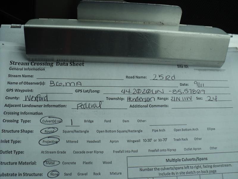
Site ID
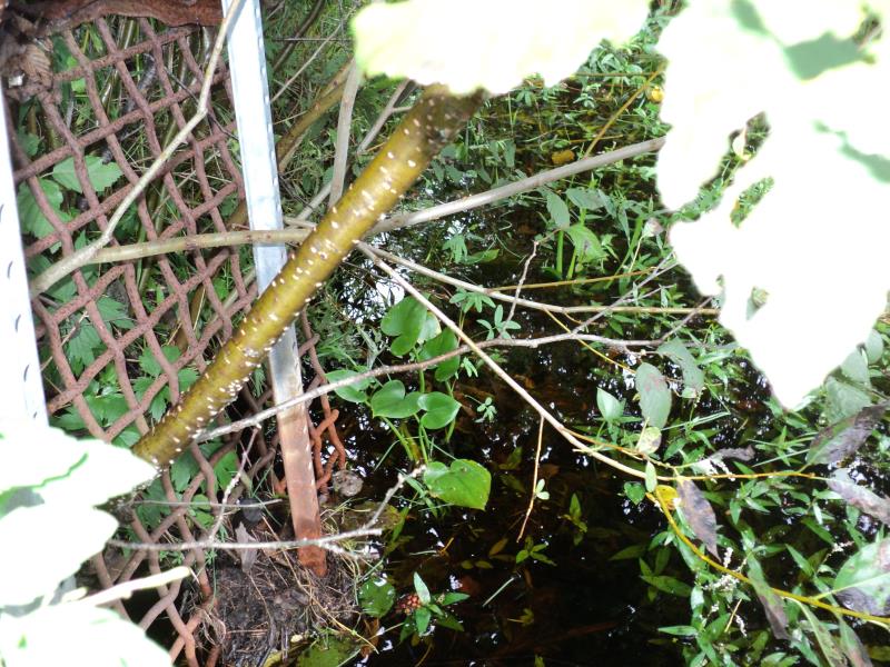
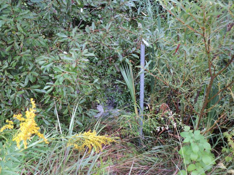
Inlet
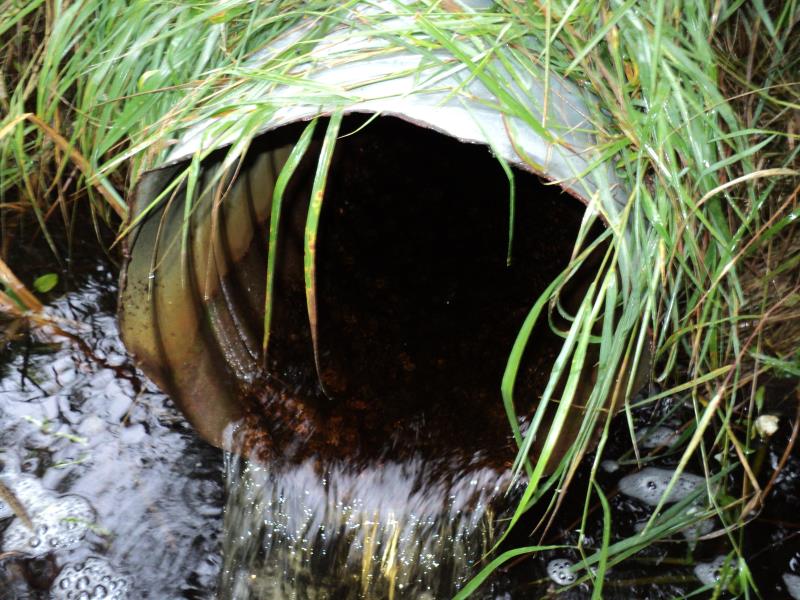
Outlet
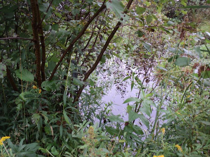
Upstream Conditions
Downstream Conditions
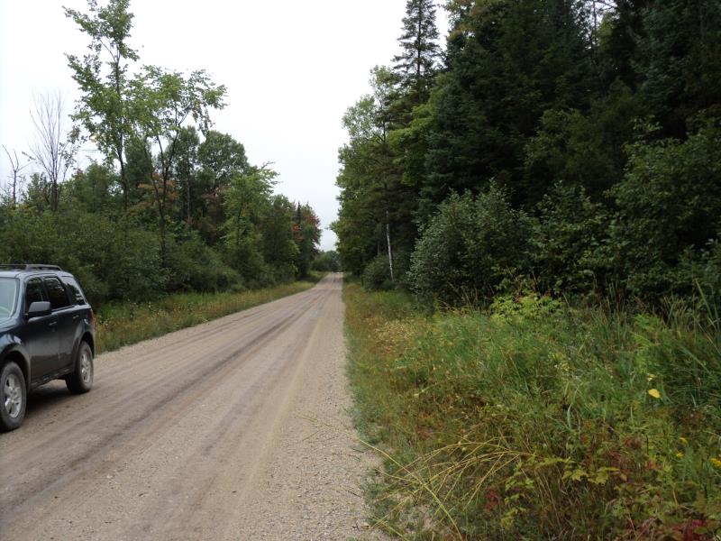
Road Approach - Left
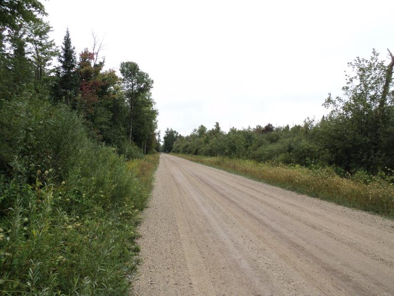
Road Approach - Right
Crossing Information
Type of Crossing: culvert(s)
Number of Structures: 1
Structure Shape: Round
Inlet Type: Trash Rack
Outlet Type: Freefall into Pool
Structure Material: Metal
Structure Substrate: None
General Conditions: Good
Structure Interior: corrugated
Dimensions of Structure: Length 40 ft.
, Width 1.5 ft.
, Height 1.5 ft.
Percentage Plugged:
Inlet: 1% to 25%
Outlet: 0%
In Pipe: 0%
Perch Height: 0.3 ft.
Structure Inlet
Water Depth: 0.5 ft.
Embedded Depth of Structure: 0 ft.
Water Velocity*: 0.3 ft./sec.
Structure Outlet
Water Depth: 0.2 ft.
Embedded Depth of Structure: 0 ft.
Water Velocity*: 3 ft./sec.
*Water Velocities were measured 0.3 ft. below Surface
(with Meter)
Additional Comments
No riffle-swamp land
Stream Information
Stream Flow: Less than Bankfull
Scour Pool: Length 18 ft.
, Width 15 ft.
, Depth 2 ft.
Upstream Pond: Length 30 ft.
, Width 20 ft.
, Depth 1 ft.
Road Information
Gravel
County Road
Road Condition: Good
Road Width at Culvert: 17 ft.
Location of Low Point: At Stream
Runoff Path: Ditch
Embankments
Upstream
Fill Depth: 0.5 ft.
Slope: More than 1:2
Downstream
Fill Depth: 0.5 ft.
Slope: More than 1:2
Approaches
Left Approach
Length: 500 ft.
Slope: Less Than 1%
Vegetation: Heavy
LS Factor: 0.05
Erosion: 0.1171 tons/year
Right Approach
Length: 1000 ft.
Slope: Less Than 1%
Vegetation: Heavy
LS Factor: 0.05
Erosion: 0.2342 tons/year
Erosion Information
Total Erosion at Crossing: 0.3512 tons/year
Summary Information
Fish Passage is an area of concern for this site.
Clean trash rack on inlet.
�