Road Stream Crossing Site PLT-P-10
Platte River Watershed
Dymond Rd
Platte Twp,
Benzie County
Information collected by:
Site Location
GPS Coordinates: 44.72579
, -86.00945
T27N
R14W
Sec 21
Owned by Private
State
State
Structure is NOT Perched
Total Erosion: 0.3085 tons/year
Severity: Restored
Year Inventoried: 2020
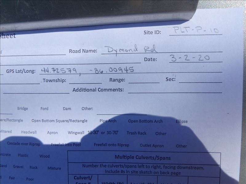
Site ID
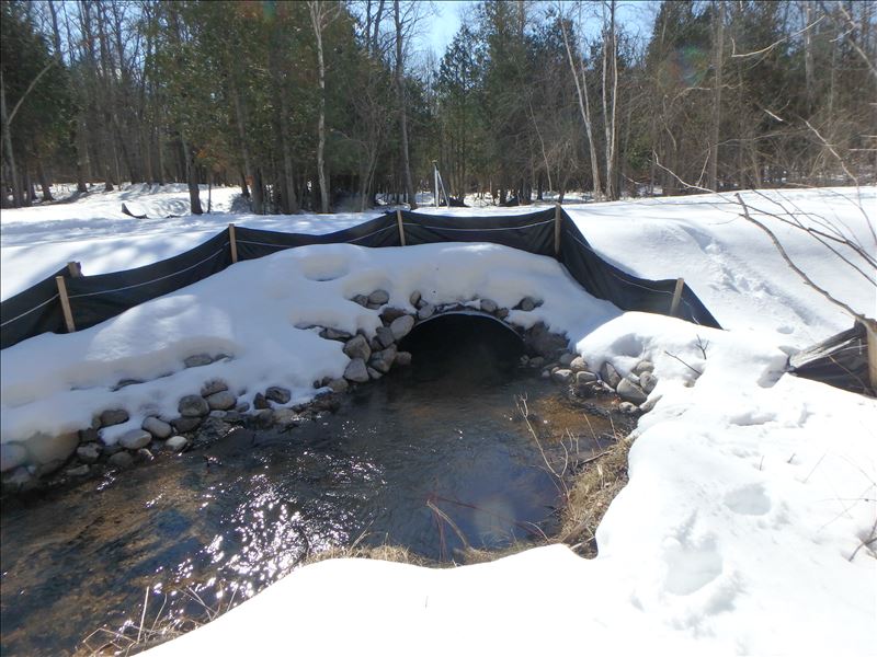
Inlet
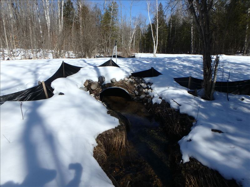
Outlet
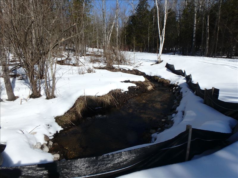
Upstream Conditions
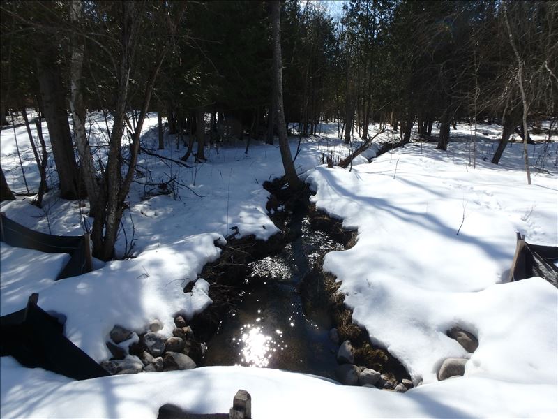
Downstream Conditions
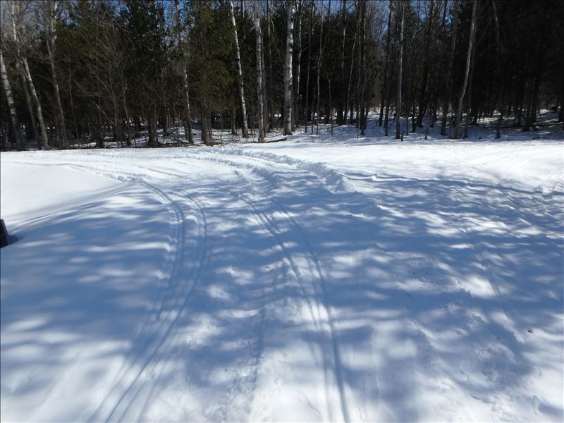
Road Approach - Left
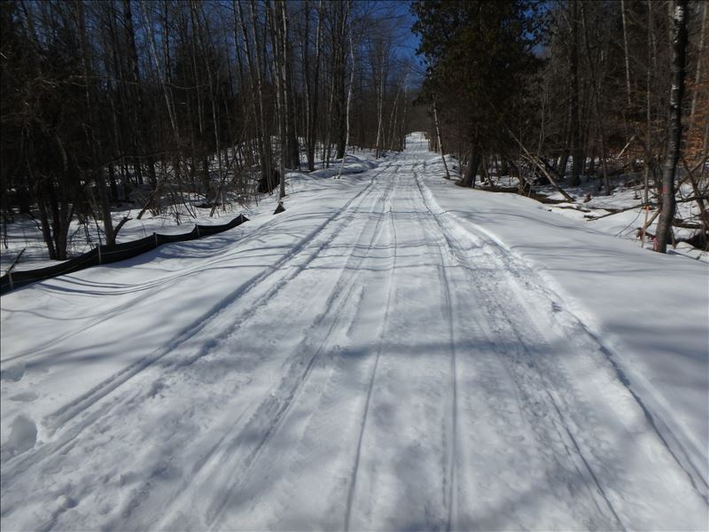
Road Approach - Right
Crossing Information
Type of Crossing: culvert(s)
Number of Structures: 1
Structure Shape: Ellipse
Inlet Type: Projecting
Outlet Type: At Stream Grade
Structure Material: Metal
Structure Substrate: Sand
General Conditions: New
Structure Interior: corrugated
Dimensions of Structure: Length 30 ft.
, Width 4.7 ft.
, Height 3 ft.
Structure is NOT Perched
Structure Inlet
Water Depth: 0.8 ft.
Embedded Depth of Structure: 0.5 ft.
Water Velocity*: 1 ft./sec.
Structure Outlet
Water Depth: 0.6 ft.
Embedded Depth of Structure: 0.8 ft.
Water Velocity*: 0.9 ft./sec.
*Water Velocities were measured 0.6 ft. below Surface
(with Meter)
Stream Information
Stream Flow: Less than 1/2 Bankfull
Scour Pool: Length 0 ft.
, Width 0 ft.
, Depth 0 ft.
Upstream Pond: Length 0 ft.
, Width 0 ft.
, Depth 0 ft.
Riffle Information
Water Depth: 1.3 ft.
Bankfull Width: 3 ft.
Wetted Width: 3 ft.
Water Velocity: 0.9 ft./sec.
(Measured with Meter)
Dominant Substrate: Sand
Road Information
Gravel
County Road
(Seasonal)
Road Condition: Fair
Road Width at Culvert: 14 ft.
Location of Low Point: Other
Runoff Path: Ditch
Embankments
Upstream
Fill Depth: 1.5 ft.
Slope: 1:2
Downstream
Fill Depth: 1.5 ft.
Slope: 1:2
Approaches
Left Approach
Length: 25 ft.
Slope: Less Than 1%
Vegetation: Partial
LS Factor: 0.05
Erosion: 0.0055 tons/year
Right Approach
Length: 200 ft.
Slope: 1% to 5%
Vegetation: Partial
LS Factor: 0.44
Erosion: 0.303 tons/year
Erosion Information
Total Erosion at Crossing: 0.3085 tons/year
Extent of Erosion: Minor
Summary Information
Erosion is an area of concern for this site.
No
�