Road Stream Crossing Site MAN_KA_061
Big Manistee River Watershed, Sand Creek
Kniss Rd
Oliver Twp,
Kalkaska County
Information collected by:
Site Location
GPS Coordinates: 44.66991
, -85.03138
T26N
R6W
Sec 3
Owned by State
Structure is NOT Perched
Total Erosion: 1.8854 tons/year
Severity: Moderate
Year Inventoried: 2015
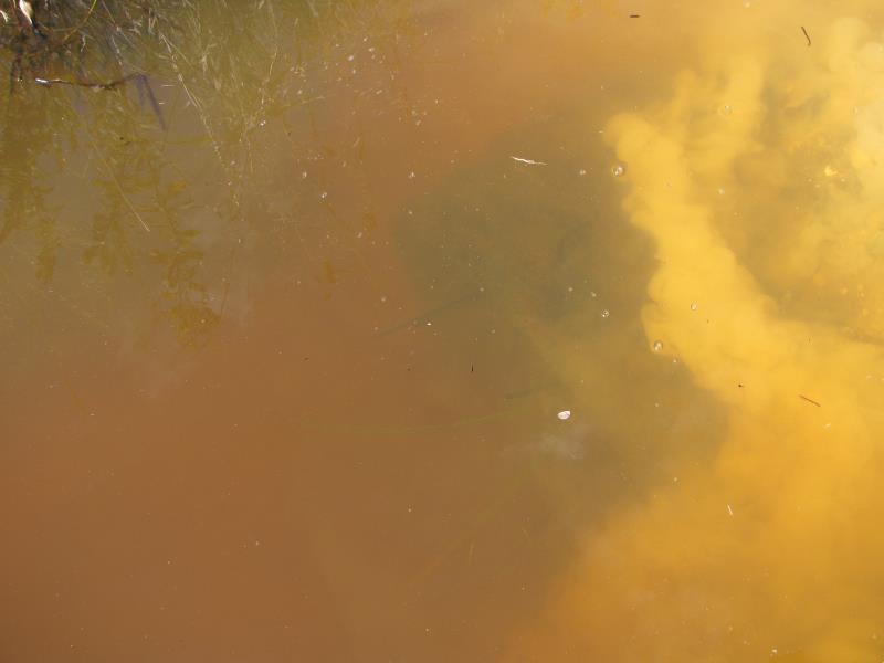
Inlet
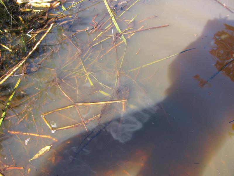
Outlet
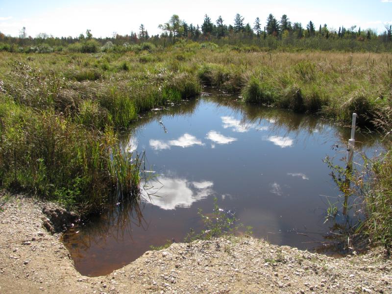
Upstream Conditions
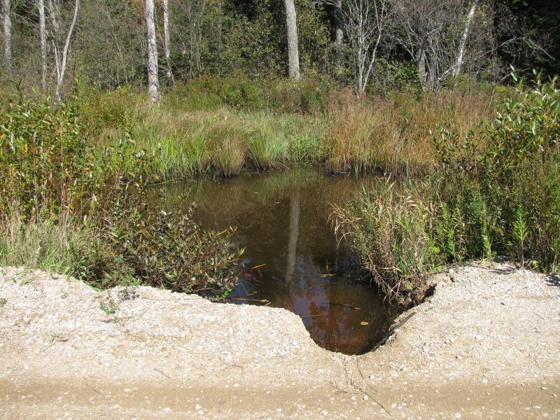
Downstream Conditions

Road Approach - Left
Road Approach - Right
Crossing Information
Type of Crossing: culvert(s)
Number of Structures: 2
Structure Shape: Round
Inlet Type: Projecting
Outlet Type: At Stream Grade
Structure Material: Metal
Structure Substrate: Gravel
General Conditions: Fair
Multiple Culverts/Spans | ||||
Culvert/Span | Width | Length | Height | Material |
2 |
2 ft. |
24 ft. |
2 ft. |
Metal |
Structure Interior: corrugated
Dimensions of Structure: Length 24 ft.
, Width 2 ft.
, Height 2 ft.
Percentage Plugged:
Inlet: 26% to 50%
Outlet: 26% to 50%
In Pipe: 0%
Structure is NOT Perched
Structure Inlet
Water Depth: 2 ft.
Embedded Depth of Structure: 0.8 ft.
Water Velocity*: 0.1 ft./sec.
Structure Outlet
Water Depth: 2 ft.
Embedded Depth of Structure: 0.8 ft.
Water Velocity*: 0.1 ft./sec.
*Water Velocities were measured at the Surface
(with Meter)
Additional Comments
Pipe re-installed 2014 after washout. Both pipes submerged under water.
Stream Information
Stream Flow: Less than Bankfull
Scour Pool: Length 0 ft.
, Width 0 ft.
, Depth 0 ft.
Upstream Pond: Length 0 ft.
, Width 0 ft.
, Depth 0 ft.
Road Information
Gravel
County Road
(Seasonal)
Road Condition: Poor
Road Width at Culvert: 10 ft.
Location of Low Point: At Stream
Runoff Path: Roadway
Embankments
Upstream
Fill Depth: 1.8 ft.
Slope: 1:2
Downstream
Fill Depth: 1.8 ft.
Slope: 1:2
Approaches
Left Approach
Length: 500 ft.
Slope: 1% to 5%
Vegetation: Heavy
LS Factor: 0.5
Erosion: 0.6887 tons/year
Right Approach
Length: 500 ft.
Slope: 1% to 5%
Vegetation: Heavy
LS Factor: 0.5
Erosion: 0.6887 tons/year
Erosion Information
Total Erosion at Crossing: 1.8854 tons/year
Extent of Erosion: Severe
Notes: Roadway eroding directly into stream. Crossing has washed out numerous times and will likely wash out during the next high water event.
Location of Erosion | Erosion Dimensions | Eroded Material | Material Eroded | Total Erosion | ||
facing downstream | Length | Width | Depth | Reaching Stream? | (tons/year) | |
Right Downstream Embankment |
6 ft. |
8 ft. |
2.4 ft. |
yes |
Gravel |
0.288 |
Right Upstream Embankment |
5 ft. |
10 ft. |
2.2 ft. |
yes |
Gravel |
0.22 |
Summary Information
Erosion is an area of concern for this site.
Yes, figure out a different type of road-stream crossing structure as the road seems to washout consistently.
A future visit to this site is recommended. Yes, to monitor erosion/spring high water events.
�