Road Stream Crossing Site Boyne_BE-10
Lake Charlevoix Watershed, Unnamed tributary to Moyer Creek
US-131
Charlevoix County
Information collected by:
Site Location
GPS Coordinates: 45.1370514674511
, -84.8968882128786
Fish Passability 0.9
Total Erosion: 0.1603 tons/year
Severity: Moderate
Year Inventoried: 2015
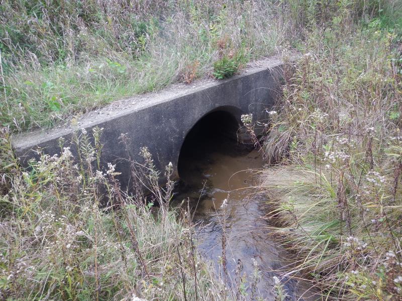
Inlet
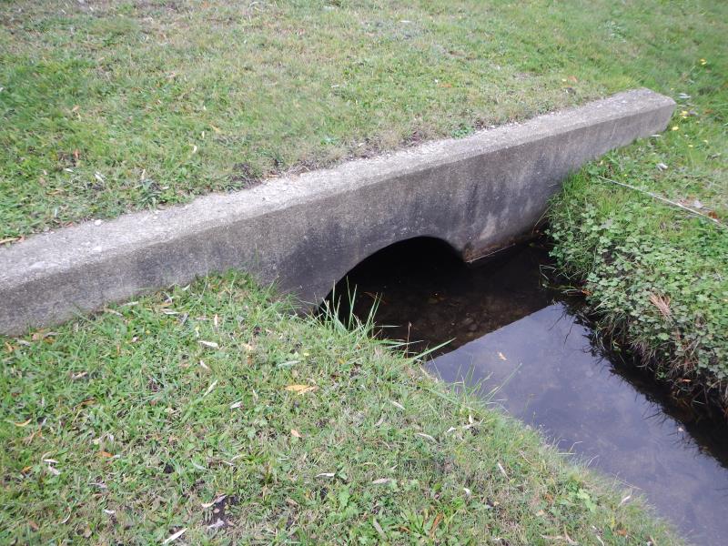
Outlet
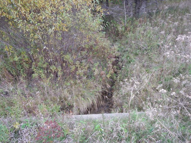
Upstream Conditions
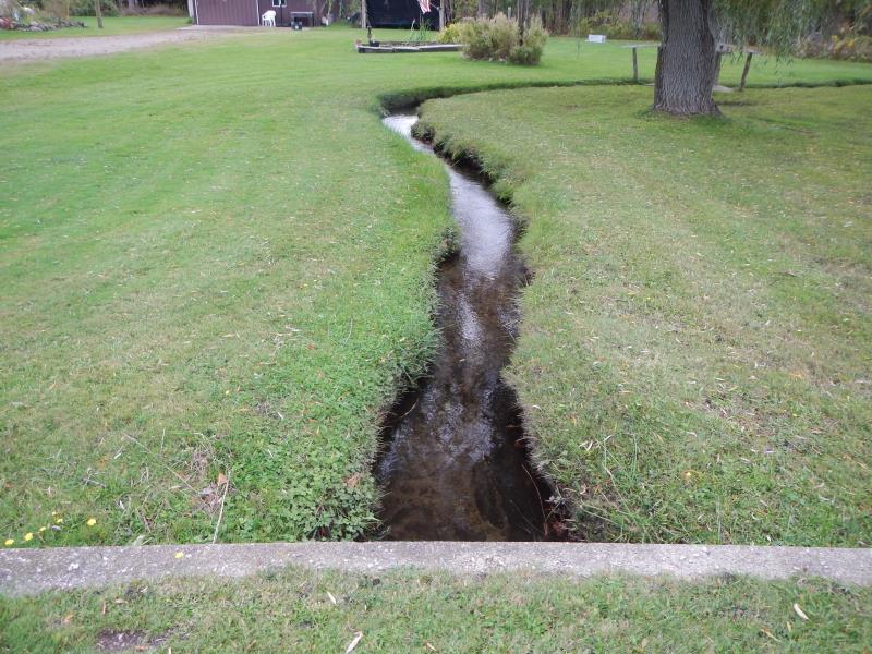
Downstream Conditions
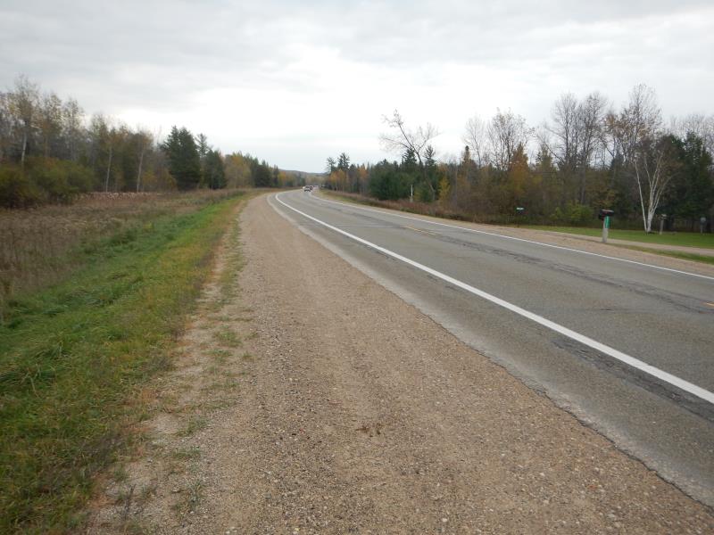
Road Approach - Left
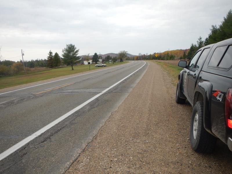
Road Approach - Right
Crossing Information
Type of Crossing: culvert(s)
Number of Structures: 1
Structure Shape: Round
Inlet Type: Projecting
Outlet Type: At Stream Grade
Structure Material: Concrete
Structure Substrate: Mixture
General Conditions: Good
Structure Interior: smooth
Dimensions of Structure: Length 85 ft.
, Width 3 ft.
, Height 3 ft.
Structure Inlet
Water Depth: 1.17 ft.
Embedded Depth of Structure: 0.08 ft.
Water Velocity*: 0.9 ft./sec.
Structure Outlet
Water Depth: 1.33 ft.
Embedded Depth of Structure: 0.17 ft.
Water Velocity*: 0.3 ft./sec.
*Water Velocities were measured 0.47 ft. below Surface
(with Meter)
Additional Comments
04745
Stream Information
Stream Flow: Less than 1/2 Bankfull
Upstream Pond: Length 3 ft.
, Width 4 ft.
Riffle Information
Water Depth: 0.5 ft.
Bankfull Width: 3.5 ft.
Wetted Width: 3.25 ft.
Water Velocity: 0.65 ft./sec.
(Measured with Meter)
Dominant Substrate: Gravel
Road Information
Paved
State Road
Road Condition: Good
Road Width at Culvert: 48 ft.
Location of Low Point: At Stream
Runoff Path: Ditch
Embankments
Upstream
Fill Depth: 3.5 ft.
Slope: 1:2
Downstream
Fill Depth: 3.5 ft.
Slope: 1:2
Approaches
Left Approach
Length: 500 ft.
Slope: Less Than 1%
Vegetation: Heavy
LS Factor: 0.05
Erosion: 0.0397 tons/year
Right Approach
Length: 500 ft.
Slope: Less Than 1%
Vegetation: Partial
LS Factor: 0.055
Erosion: 0.0436 tons/year
Erosion Information
Total Erosion at Crossing: 0.1603 tons/year
Extent of Erosion: Moderate
Erosion is occurring and corrective actions can be installed to address the problem.
Notes: Tracks, photo 5650
Location of Erosion | Erosion Dimensions | Eroded Material | Material Eroded | Total Erosion | ||
facing downstream | Length | Width | Depth | Reaching Stream? | (tons/year) | |
Right Upstream Embankment |
10 ft. |
5 ft. |
1.25 ft. |
yes |
Loam |
0.077 |
Summary Information
Fish Passability 0.9
Erosion is an area of concern for this site.
looks an easy fix by re-vegetating
A future visit to this site is recommended. erosion
�