Road Stream Crossing Site Boyne_BE-11
Lake Charlevoix Watershed, Unnamed tributary to Moyer Creek
US-131
Charlevoix County
Information collected by:
Site Location
GPS Coordinates: 45.1346208064322
, -84.8944927445518
Fish Passability 0.5
Total Erosion: 0.0952 tons/year
Severity: Moderate
Year Inventoried: 2015
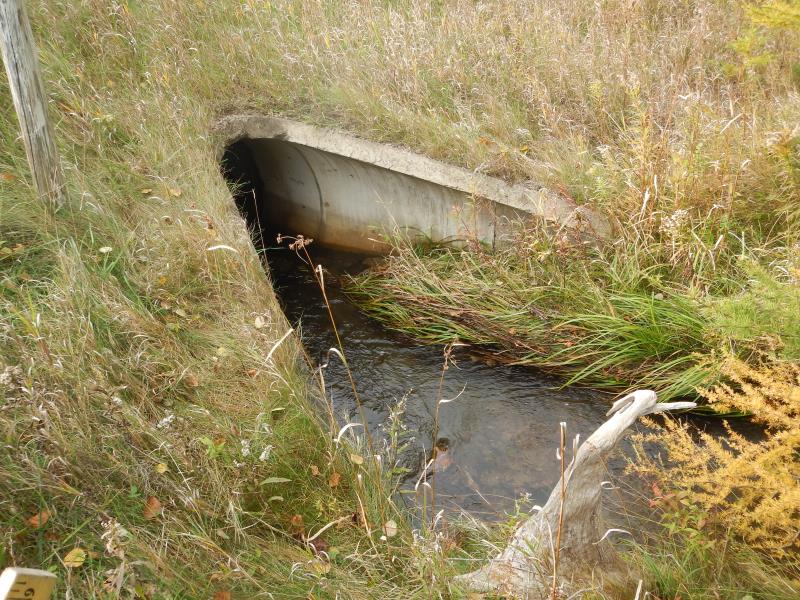
Inlet
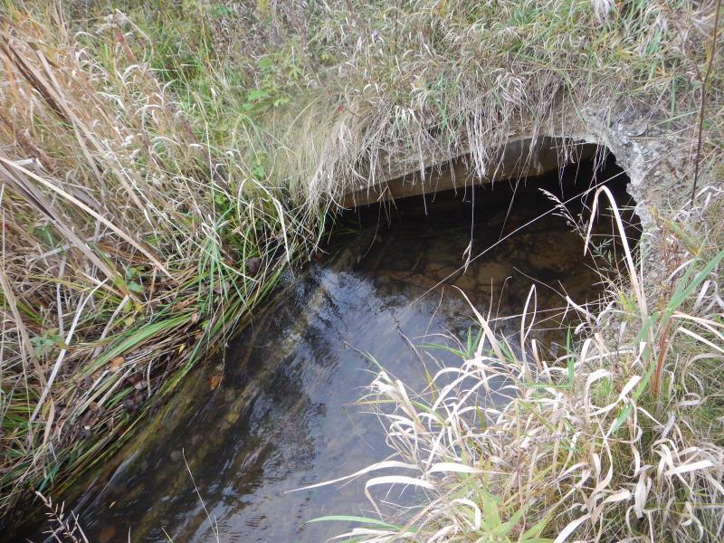
Outlet
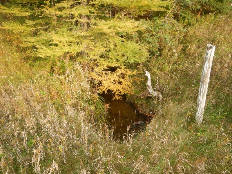
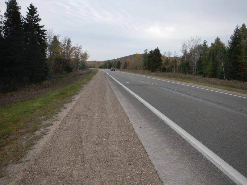
Upstream Conditions
Downstream Conditions
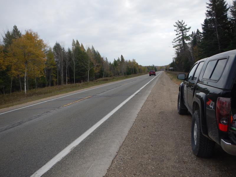
Road Approach - Left
Road Approach - Right
Crossing Information
Type of Crossing: culvert(s)
Number of Structures: 1
Structure Shape: Round
Inlet Type: Mitered
Outlet Type: At Stream Grade
Structure Material: Concrete
Structure Substrate: Gravel
General Conditions: Good
Structure Interior: smooth
Dimensions of Structure: Length 99 ft.
, Width 4 ft.
, Height 4 ft.
Structure Inlet
Water Depth: 1.08 ft.
Embedded Depth of Structure: 0.08 ft.
Water Velocity*: 2.25 ft./sec.
Structure Outlet
Water Depth: 1.25 ft.
Embedded Depth of Structure: 1.58 ft.
Water Velocity*: 1.05 ft./sec.
*Water Velocities were measured 0.43 ft. below Surface
(with Meter)
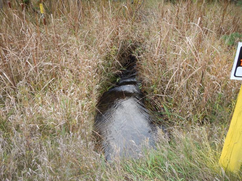
Stream Information
Stream Flow: Less than Bankfull
Riffle Information
Water Depth: 0.5 ft.
Bankfull Width: 7 ft.
Wetted Width: 6.5 ft.
Water Velocity: 1.75 ft./sec.
(Measured with Meter)
Dominant Substrate: Gravel
Road Information
Paved
State Road
Road Condition: Good
Road Width at Culvert: 48 ft.
Location of Low Point: At Stream
Runoff Path: Ditch
Embankments
Upstream
Fill Depth: 2 ft.
Slope: More than 1:2
Downstream
Fill Depth: 3 ft.
Slope: More than 1:2
Approaches
Left Approach
Length: 700 ft.
Slope: Less Than 1%
Vegetation: Heavy
LS Factor: 0.05
Erosion: 0.0555 tons/year
Right Approach
Length: 500 ft.
Slope: Less Than 1%
Vegetation: Heavy
LS Factor: 0.05
Erosion: 0.0397 tons/year
Erosion Information
Total Erosion at Crossing: 0.0952 tons/year
Notes: none
Summary Information
Fish Passability 0.5
A future visit to this site is recommended. velocity & fish passage
These non-native species were observerd at this site: deadly nightshade
�