Road Stream Crossing Site Boyne_BE-13
Lake Charlevoix Watershed, Unnamed tributary to Moyer Creek
Old Mackinaw Road
Charlevoix County
Information collected by:
Site Location
GPS Coordinates: 45.1333620482027
, -84.8877148479986
Fish Passability 0.5
Total Erosion: 0.2485 tons/year
Severity: Moderate
Year Inventoried: 2015
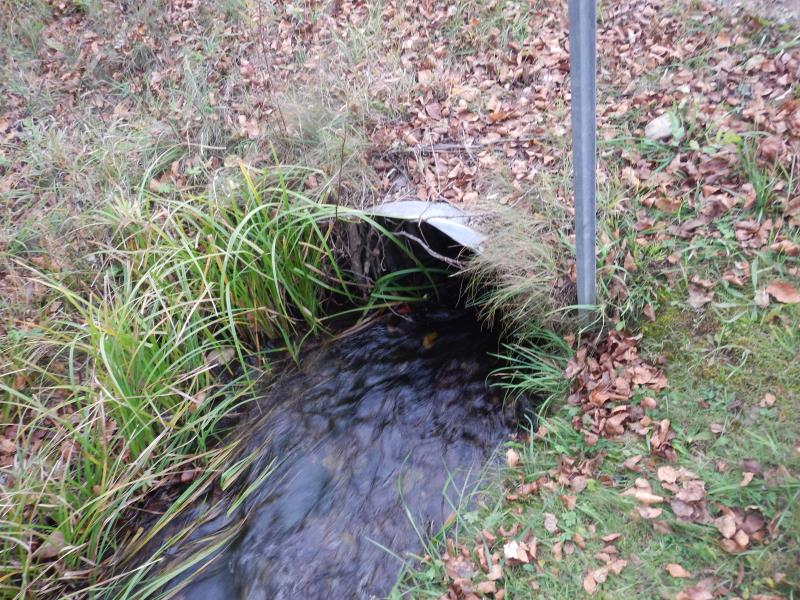
Inlet
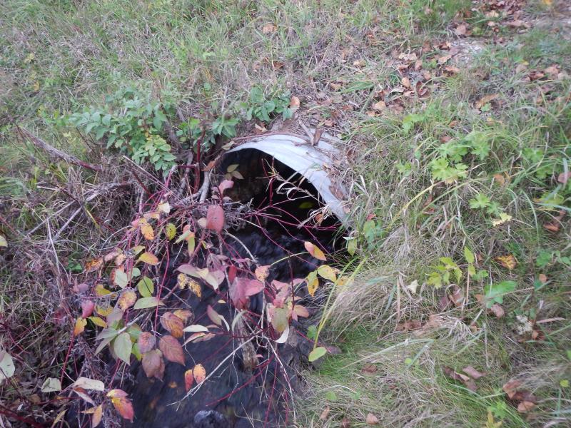
Outlet
Upstream Conditions
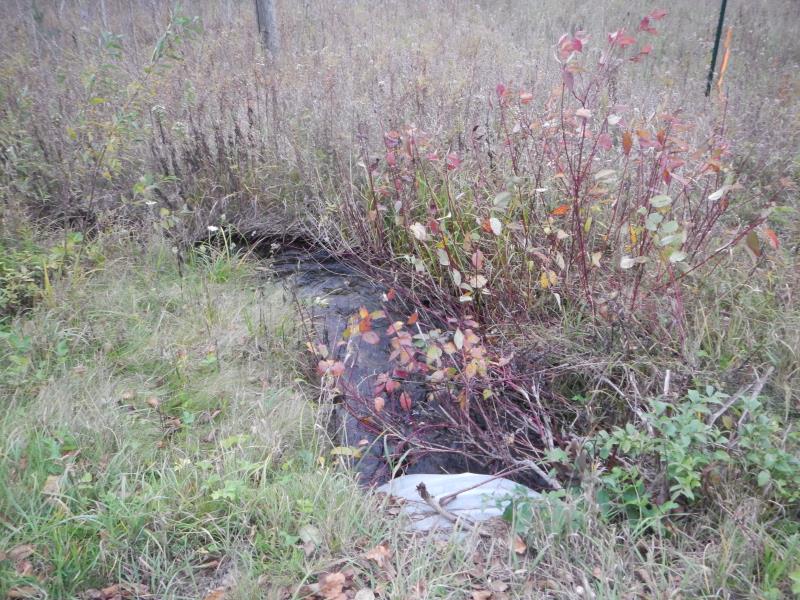
Downstream Conditions
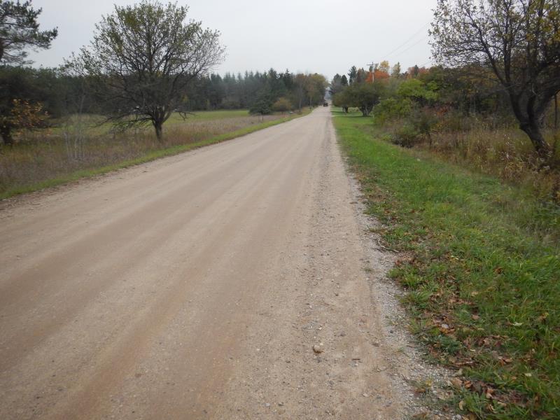
Road Approach - Left
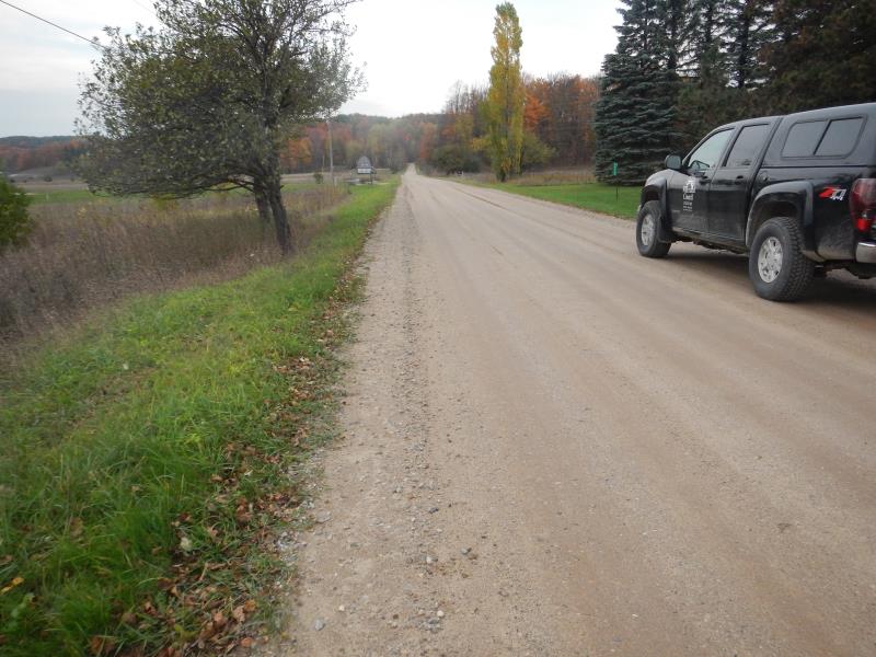
Road Approach - Right
Crossing Information
Type of Crossing: culvert(s)
Number of Structures: 1
Structure Shape: Round
Inlet Type: Projecting
Outlet Type: At Stream Grade
Structure Material: Metal
Structure Substrate: Gravel
General Conditions: Good
Structure Interior: corrugated
Structure is Rusted through
Dimensions of Structure: Length 30 ft.
, Width 2.83 ft.
, Height 2.17 ft.
Percentage Plugged:
Inlet: 1% to 25%
Structure Inlet
Water Depth: 0.42 ft.
Water Velocity*: 2.35 ft./sec.
Structure Outlet
Water Depth: 0.42 ft.
Embedded Depth of Structure: 0.08 ft.
Water Velocity*: 2.11 ft./sec.
*Water Velocities were measured 0.14 ft. below Surface
(with Meter)
Stream Information
Stream Flow: Less than 1/2 Bankfull
Riffle Information
Water Depth: 0.36 ft.
Bankfull Width: 4 ft.
Wetted Width: 3.75 ft.
Water Velocity: 1 ft./sec.
(Measured with Meter)
Dominant Substrate: Gravel
Road Information
Gravel
County Road
Road Condition: Good
Road Width at Culvert: 22 ft.
Location of Low Point: At Stream
Runoff Path: Ditch
Embankments
Upstream
Fill Depth: 0.33 ft.
Slope: More than 1:2
Downstream
Fill Depth: 0.42 ft.
Slope: More than 1:2
Approaches
Left Approach
Length: 600 ft.
Slope: Less Than 1%
Vegetation: Partial
LS Factor: 0.06
Erosion: 0.2182 tons/year
Right Approach
Length: 100 ft.
Slope: Less Than 1%
Vegetation: Partial
LS Factor: 0.05
Erosion: 0.0303 tons/year
Erosion Information
Total Erosion at Crossing: 0.2485 tons/year
Notes: none
Summary Information
Fish Passability 0.5
�