Road Stream Crossing Site Boyne_BE-14
Lake Charlevoix Watershed, Unnamed tributary to Moyer Creek
Old Mackinaw Road
Charlevoix County
Information collected by:
Site Location
GPS Coordinates: 45.1355544561514
, -84.887667675435
Fish Passability 0
Perch Height: 0.08 ft.
Total Erosion: 0.4245 tons/year
Severity: Severe
Year Inventoried: 2015
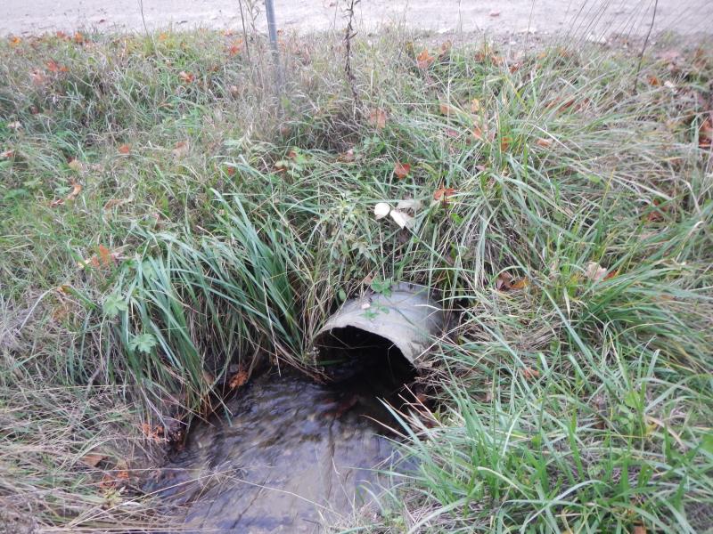
Inlet
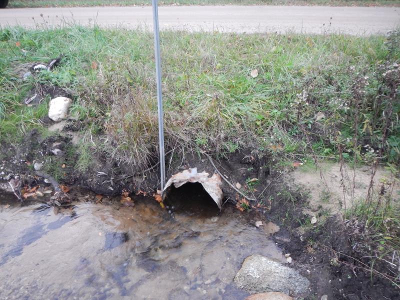
Outlet
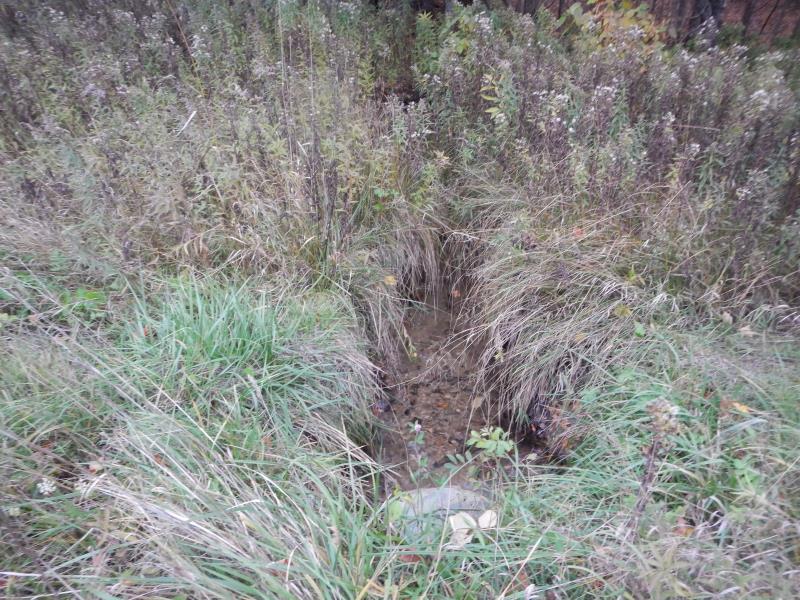
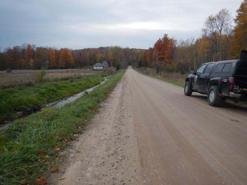
Upstream Conditions
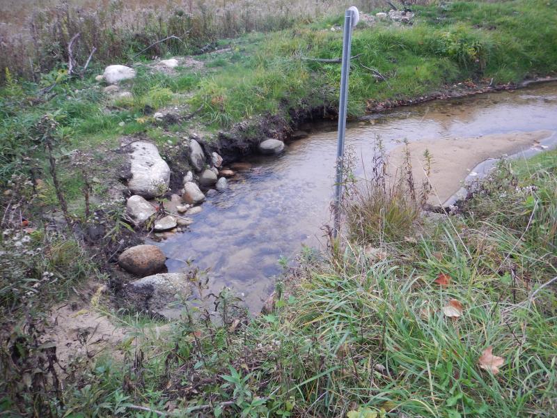
Downstream Conditions
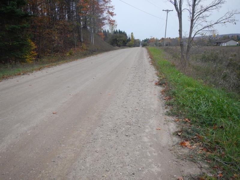
Road Approach - Left
Road Approach - Right
Crossing Information
Type of Crossing: culvert(s)
Number of Structures: 1
Structure Shape: Round
Inlet Type: Projecting
Outlet Type: At Stream Grade
Structure Material: Metal
Structure Substrate: None
General Conditions: Fair
Structure Interior: corrugated
Structure is Rusted through
Dimensions of Structure: Length 35 ft.
, Width 1.5 ft.
, Height 1.5 ft.
Percentage Crushed:
Outlet: 1% to 25%
Perch Height: 0.08 ft.
Structure Inlet
Water Depth: 0.5 ft.
Embedded Depth of Structure: 0 ft.
Water Velocity*: 1.85 ft./sec.
Structure Outlet
Water Depth: 0.67 ft.
Embedded Depth of Structure: 0 ft.
Water Velocity*: 1.14 ft./sec.
*Water Velocities were measured 0.17 ft. below Surface
(with Meter)
Stream Information
Stream Flow: Less than 1/2 Bankfull
Scour Pool: Length 3 ft.
, Width 2 ft.
, Depth 0.58 ft.
Riffle Information
Water Depth: 0.27 ft.
Bankfull Width: 6.5 ft.
Wetted Width: 5.52 ft.
Water Velocity: 0.5 ft./sec.
(Measured with Meter)
Dominant Substrate: Gravel
Road Information
Gravel
County Road
Road Condition: Good
Road Width at Culvert: 20 ft.
Location of Low Point: At Stream
Runoff Path: Ditch
Embankments
Upstream
Fill Depth: 1 ft.
Slope: More than 1:2
Downstream
Fill Depth: 1.25 ft.
Slope: 1:2
Approaches
Left Approach
Length: 450 ft.
Slope: Less Than 1%
Vegetation: Partial
LS Factor: 0.053
Erosion: 0.1302 tons/year
Right Approach
Length: 20 ft.
Slope: Less Than 1%
Vegetation: Heavy
LS Factor: 0.05
Erosion: 0.0055 tons/year
Erosion Information
Total Erosion at Crossing: 0.4245 tons/year
Extent of Erosion: Moderate
Erosion is occurring and corrective actions can be installed to address the problem.
Notes: Riprap would help. Photos 5676-7
Location of Erosion | Erosion Dimensions | Eroded Material | Material Eroded | Total Erosion | ||
facing downstream | Length | Width | Depth | Reaching Stream? | (tons/year) | |
Left Downstream Embankment |
15 ft. |
2 ft. |
1.5 ft. |
yes |
Sand |
0.1733 |
Right Downstream Embankment |
10 ft. |
1 ft. |
1.5 ft. |
yes |
Sand |
0.1155 |
Summary Information
Fish Passability 0
Erosion is an area of concern for this site.
Erosion getting worse
A future visit to this site is recommended. Erosion
�