Road Stream Crossing Site Boyne_BE-4
Lake Charlevoix Watershed, Unnamed tributary to Boyne River North Branch
Denise Road
Charlevoix County
Information collected by:
Site Location
GPS Coordinates: 45.1674575574226
, -84.8656428878511
Fish Passability 0
Perch Height: 0.83 ft.
Total Erosion: 4.8636 tons/year
Severity: Severe
Year Inventoried: 2015
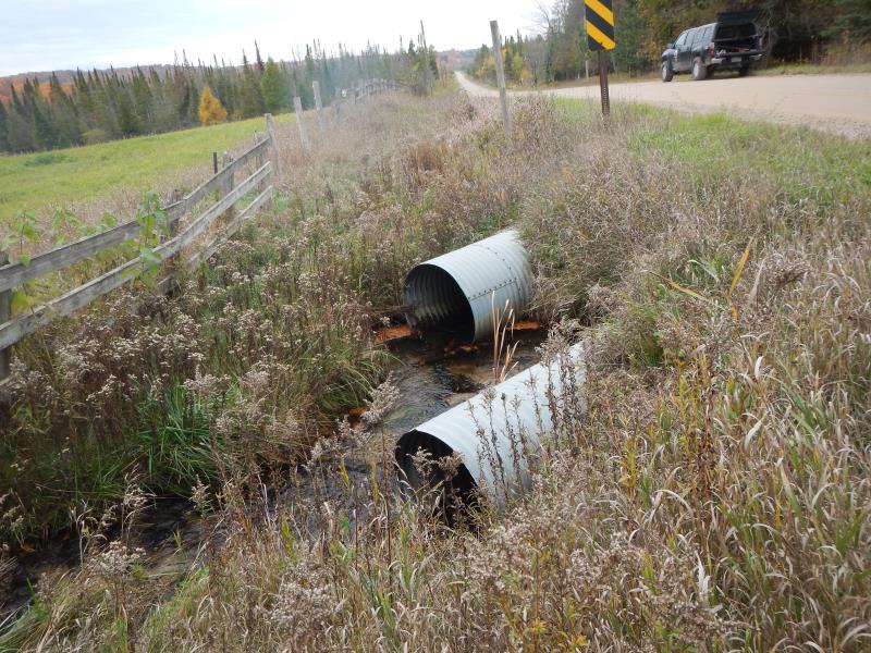
Inlet
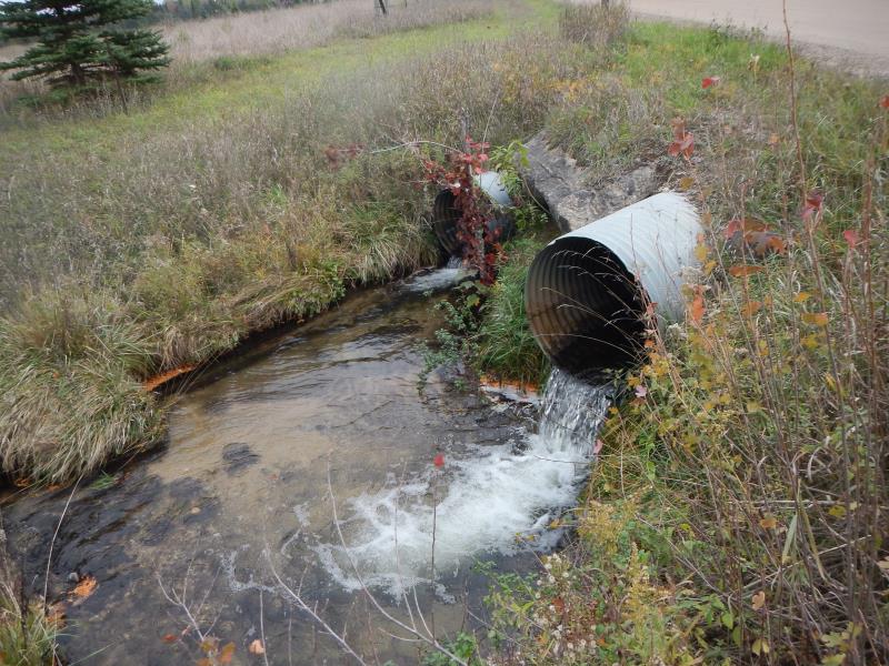
Outlet
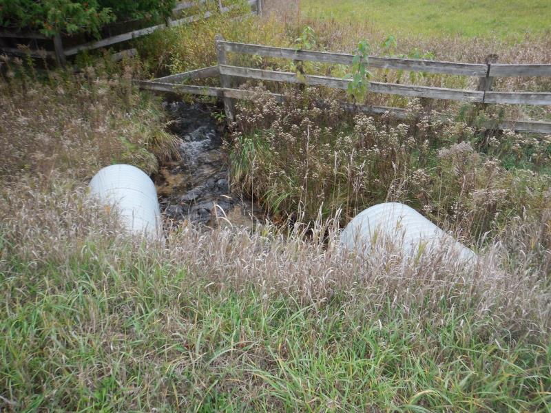
Upstream Conditions
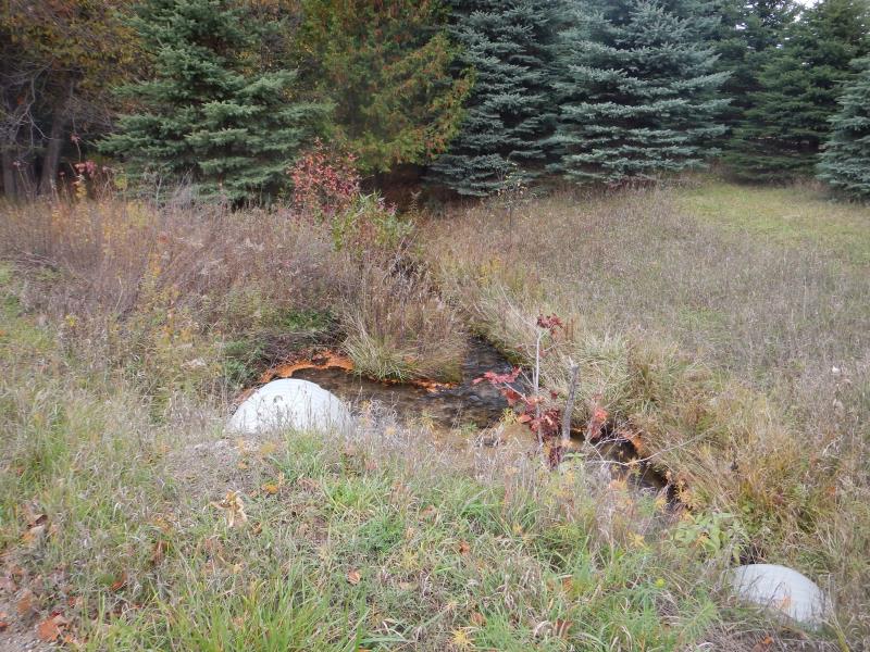
Downstream Conditions
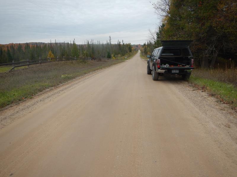
Road Approach - Left
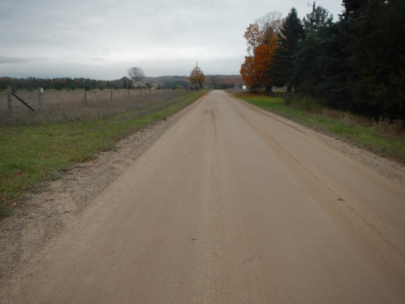
Road Approach - Right
Crossing Information
Type of Crossing: culvert(s)
Number of Structures: 2
Structure Shape: Round
Inlet Type: Projecting
Outlet Type: Freefall into Pool
Structure Material: Metal
Structure Substrate: Sand
General Conditions: Good
Multiple Culverts/Spans | ||||
Culvert/Span | Width | Length | Height | Material |
1 |
2.5 ft. |
60 ft. |
2.42 ft. |
Metal |
2 |
3 ft. |
59 ft. |
3 ft. |
Metal |
Structure Interior: corrugated
Dimensions of Structure: Length 60 ft.
, Width 2.5 ft.
, Height 2.42 ft.
Perch Height: 0.83 ft.
Structure Inlet
Water Depth: 0.42 ft.
Embedded Depth of Structure: 0.08 ft.
Water Velocity*: 0.92 ft./sec.
Structure Outlet
Water Depth: 0.17 ft.
Embedded Depth of Structure: 0.04 ft.
Water Velocity*: 2.7 ft./sec.
*Water Velocities were measured 0.17 ft. below Surface
(with Meter)
Additional Comments
east culvert = 1, west = 2
Stream Information
Stream Flow: Less than 1/2 Bankfull
Scour Pool: Length 10 ft.
, Width 7 ft.
, Depth 1.92 ft.
Riffle Information
Water Depth: 0.5 ft.
Bankfull Width: 4.25 ft.
Wetted Width: 3.83 ft.
Water Velocity: 0.75 ft./sec.
(Measured with Meter)
Dominant Substrate: Gravel
Road Information
Gravel
County Road
Road Condition: Good
Road Width at Culvert: 22 ft.
Location of Low Point: At Stream
Runoff Path: Roadway
Embankments
Upstream
Fill Depth: 2 ft.
Slope: 1:2
Downstream
Fill Depth: 2.25 ft.
Slope: 1:2
Approaches
Left Approach
Length: 50 ft.
Slope: Less Than 1%
Vegetation: Partial
LS Factor: 0.05
Erosion: 0.0152 tons/year
Right Approach
Length: 1000 ft.
Slope: 1% to 5%
Vegetation: Partial
LS Factor: 0.8
Erosion: 4.8485 tons/year
Erosion Information
Total Erosion at Crossing: 4.8636 tons/year
Notes: none
Summary Information
Fish Passability 0
Fish Passage is an area of concern for this site.
tall perch
A future visit to this site is recommended. fish passage
�