Road Stream Crossing Site Boyne_BE-5
Lake Charlevoix Watershed, Unnamed tributary to Boyne River North Branch
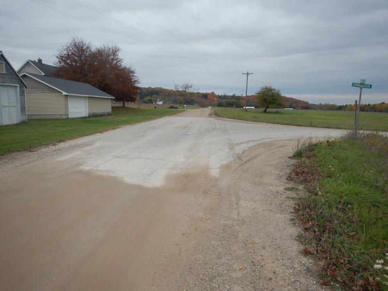
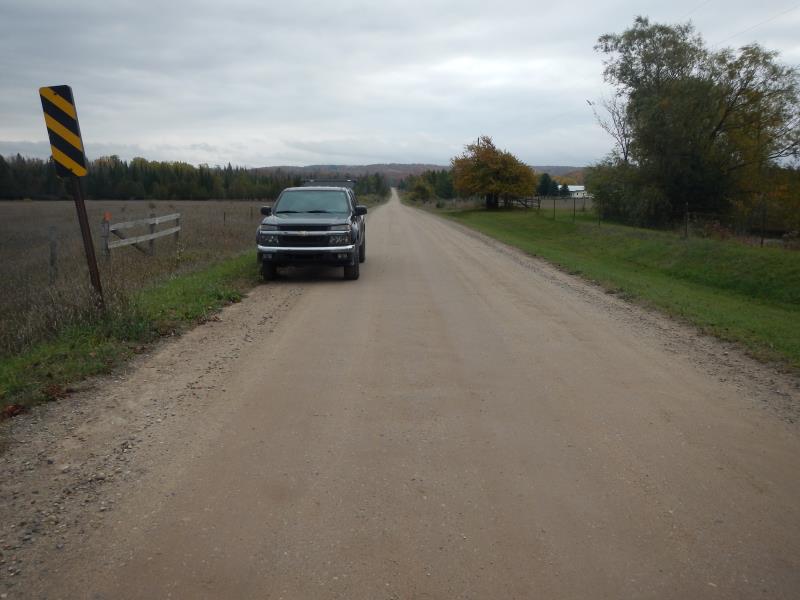
Denise Road
Charlevoix County
Information collected by:
Site Location
GPS Coordinates: 45.1675765987544
, -84.8763969942632
Fish Passability 0
Perch Height: 0.58 ft.
Total Erosion: 0.1333 tons/year
Severity: Severe
Year Inventoried: 2015
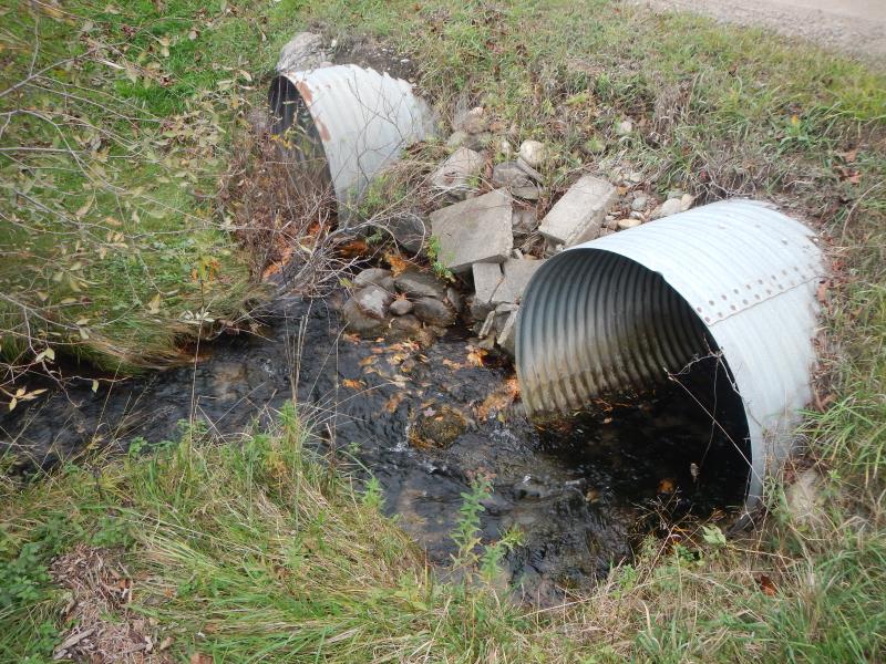
Inlet
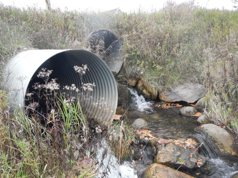
Outlet
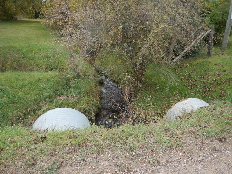
Upstream Conditions
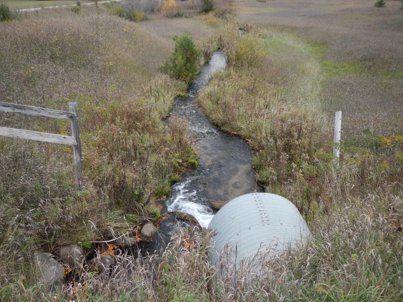
Downstream Conditions
Road Approach - Left
Road Approach - Right
Crossing Information
Type of Crossing: culvert(s)
Number of Structures: 2
Structure Shape: Round
Inlet Type: Projecting
Outlet Type: Cascade over Riprap
Structure Material: Metal
Structure Substrate: None
General Conditions: Good
Multiple Culverts/Spans | ||||
Culvert/Span | Width | Length | Height | Material |
1 |
4 ft. |
36 ft. |
4 ft. |
Metal |
2 |
4 ft. |
30 ft. |
4 ft. |
Metal |
Structure Interior: corrugated
Dimensions of Structure: Length 36 ft.
, Width 4 ft.
, Height 4 ft.
Percentage Plugged:
Inlet: 1% to 25%
Perch Height: 0.58 ft.
Structure Inlet
Water Depth: 0.58 ft.
Embedded Depth of Structure: 0 ft.
Water Velocity*: 3.41 ft./sec.
Structure Outlet
Water Depth: 0.33 ft.
Embedded Depth of Structure: 0 ft.
Water Velocity*: 6 ft./sec.
*Water Velocities were measured 0.23 ft. below Surface
(with Meter)
Additional Comments
at Springbrook Rd. intersection. Culver 1 = east, 2 = west
Stream Information
Stream Flow: Less than Bankfull
Riffle Information
Water Depth: 0.6 ft.
Bankfull Width: 6.5 ft.
Wetted Width: 5.92 ft.
Water Velocity: 0.75 ft./sec.
(Measured with Meter)
Dominant Substrate: Gravel
Road Information
Gravel
County Road
Road Condition: Good
Road Width at Culvert: 22 ft.
Location of Low Point: At Stream
Runoff Path: Ditch
Embankments
Upstream
Fill Depth: 1 ft.
Slope: More than 1:2
Downstream
Fill Depth: 2 ft.
Slope: 1:1.5
Approaches
Left Approach
Length: 200 ft.
Slope: Less Than 1%
Vegetation: None
LS Factor: 0.06
Erosion: 0.0727 tons/year
Right Approach
Length: 200 ft.
Slope: Less Than 1%
Vegetation: Partial
LS Factor: 0.05
Erosion: 0.0606 tons/year
Erosion Information
Total Erosion at Crossing: 0.1333 tons/year
Notes: none
Summary Information
Fish Passability 0
Fish Passage is an area of concern for this site.
Tall perch
A future visit to this site is recommended. Fish passage
�