Road Stream Crossing Site Boyne_BE-8
Lake Charlevoix Watershed, Unnamed tributary to Moyer Creek
Old Mackinaw Road
Charlevoix County
Information collected by:
Site Location
GPS Coordinates: 45.1446761539309
, -84.9094264534572
Fish Passability 0.5
Total Erosion: 0.0289 tons/year
Severity: Moderate
Year Inventoried: 2015
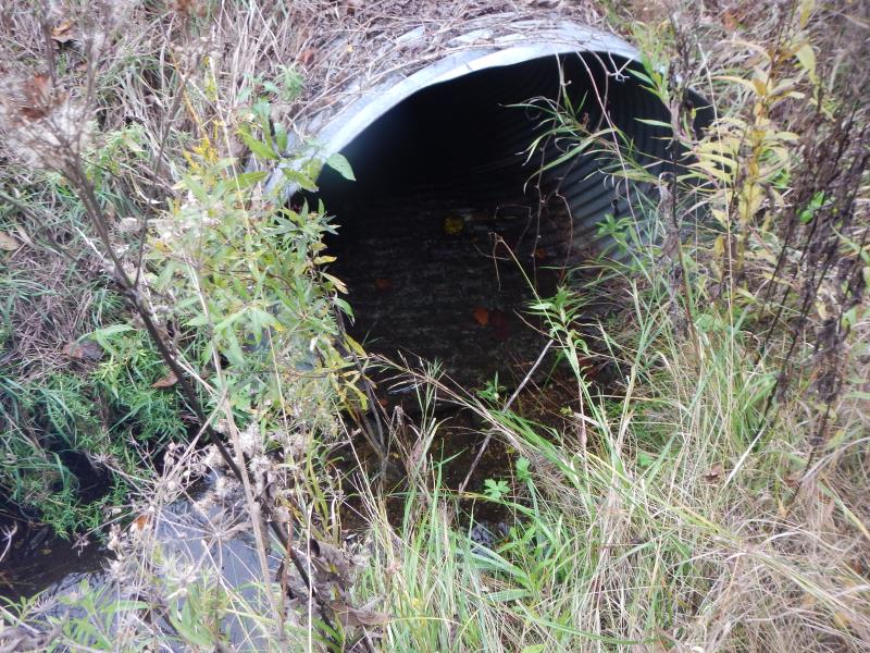
Inlet
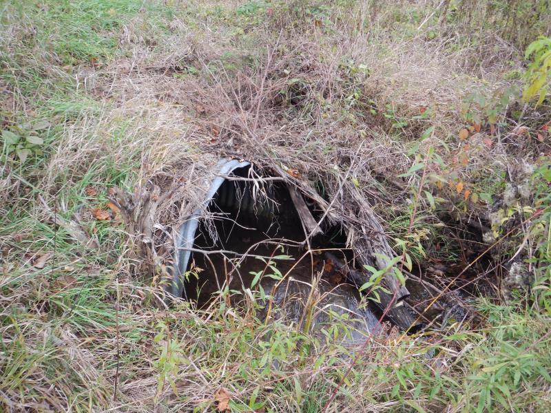
Outlet
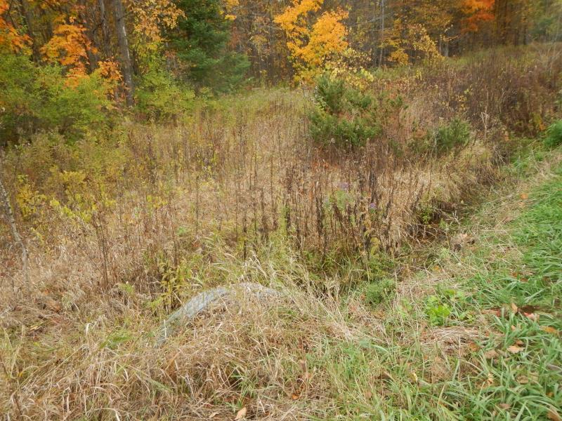
Upstream Conditions
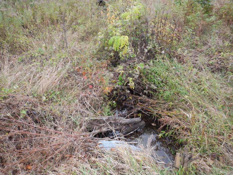
Downstream Conditions
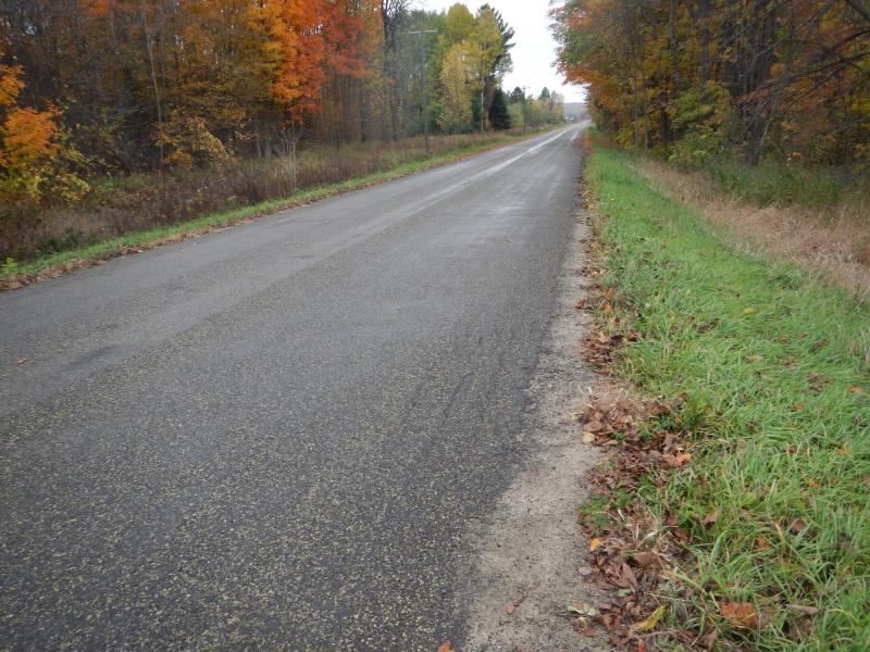
Road Approach - Left
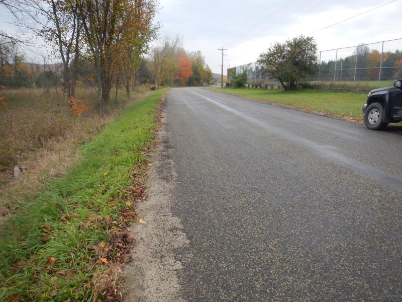
Road Approach - Right
Crossing Information
Type of Crossing: culvert(s)
Number of Structures: 1
Structure Shape: Round
Inlet Type: Projecting
Outlet Type: At Stream Grade
Structure Material: Metal
Structure Substrate: None
General Conditions: Good
Structure Interior: corrugated
Dimensions of Structure: Length 50 ft.
, Width 4.33 ft.
, Height 3.75 ft.
Structure Inlet
Water Depth: 0.17 ft.
Embedded Depth of Structure: 0 ft.
Water Velocity*: 0.07 ft./sec.
Structure Outlet
Water Depth: 0.1 ft.
Embedded Depth of Structure: 0.5 ft.
Water Velocity*: 0.1 ft./sec.
*Water Velocities were measured 0.68 ft. below Surface
(with Meter)
Stream Information
Stream Flow: Less than 1/2 Bankfull
Riffle Information
Water Depth: 0.4 ft.
Bankfull Width: 4 ft.
Wetted Width: 3.92 ft.
Water Velocity: 0.1 ft./sec.
(Measured with Meter)
Dominant Substrate: Gravel
Road Information
Paved
County Road
Road Condition: Good
Road Width at Culvert: 25 ft.
Location of Low Point: At Stream
Runoff Path: Ditch
Embankments
Upstream
Fill Depth: 1.25 ft.
Slope: 1:1.5
Downstream
Fill Depth: 2 ft.
Slope: 1:2
Approaches
Left Approach
Length: 450 ft.
Slope: Less Than 1%
Vegetation: Heavy
LS Factor: 0.05
Erosion: 0.0186 tons/year
Right Approach
Length: 250 ft.
Slope: Less Than 1%
Vegetation: Partial
LS Factor: 0.05
Erosion: 0.0103 tons/year
Erosion Information
Total Erosion at Crossing: 0.0289 tons/year
Notes: none
Summary Information
Fish Passability 0.5
�