Road Stream Crossing Site Boyne_BV-03
Lake Charlevoix Watershed, Boyne River North Branch
Denise Road
Charlevoix County
Information collected by:
Site Location
GPS Coordinates: 45.1714962426677
, -84.876526593361
Fish Passability 0.5
Total Erosion: 0.0942 tons/year
Severity: Moderate
Year Inventoried: 2015
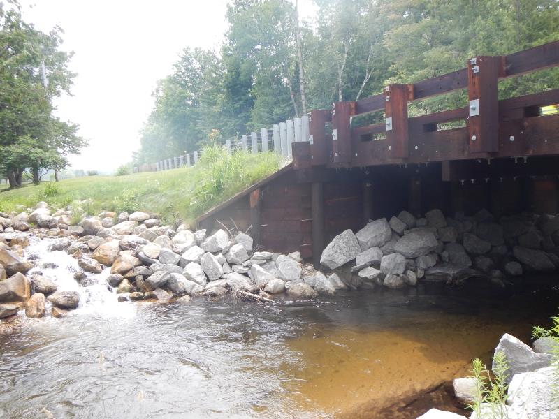
Inlet
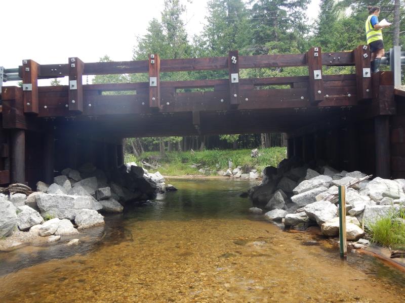
Outlet
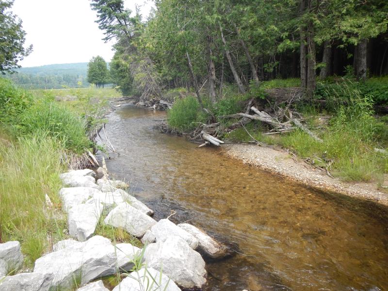
Upstream Conditions
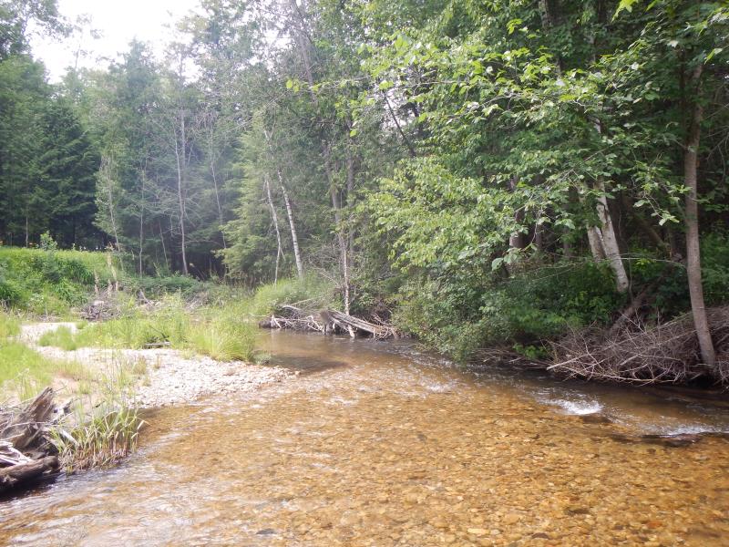
Downstream Conditions
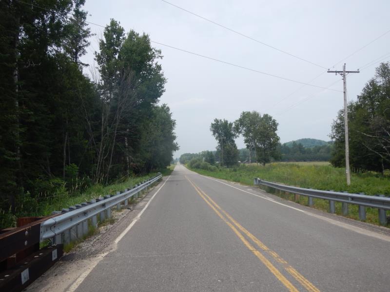
Road Approach - Left
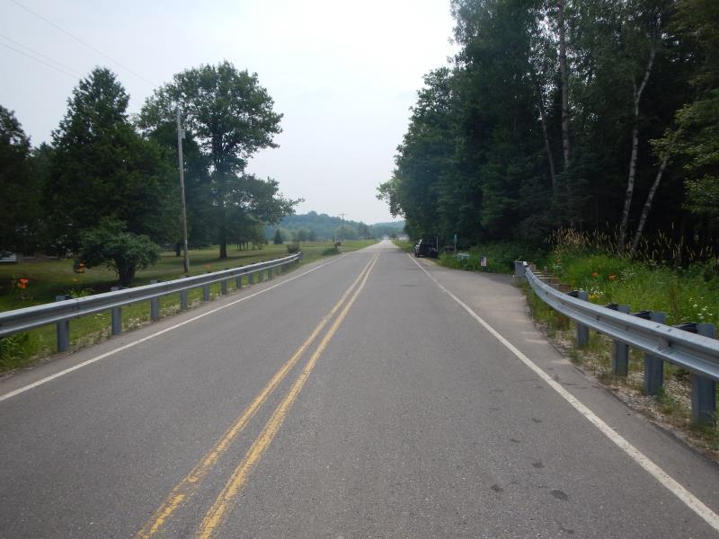
Road Approach - Right
Crossing Information
Type of Crossing: Bridge
Structure Material: Wood
General Conditions: New
Dimensions of Structure: Length 25 ft.
, Width 27 ft.
, Height 10 ft.
Structure Inlet
Water Depth: 1.7 ft.
Water Velocity*: 1.1 ft./sec.
Structure Outlet
Water Depth: 0.9 ft.
Water Velocity*: 2.1 ft./sec.
*Water Velocities were measured 1.02 ft. below Surface
(with Meter)
Riffle Information
Water Depth: 2.1 ft.
Bankfull Width: 12.5 ft.
Wetted Width: 12 ft.
Water Velocity: 1.55 ft./sec.
(Measured with Meter)
Dominant Substrate: Gravel
Road Information
Paved
County Road
Road Condition: Good
Road Width at Culvert: 25 ft.
Runoff Path: Roadway
Approaches
Left Approach
Length: 300 ft.
Slope: Less Than 1%
Vegetation: None
LS Factor: 0.06
Erosion: 0.0149 tons/year
Right Approach
Length: 200 ft.
Slope: 1% to 5%
Vegetation: Partial
LS Factor: 0.48
Erosion: 0.0793 tons/year
Erosion Information
Total Erosion at Crossing: 0.0942 tons/year
Summary Information
Fish Passability 0.5
Erosion is an area of concern for this site.
�