Road Stream Crossing Site Boyne_BV-10
Lake Charlevoix Watershed, Schoolhouse Creek
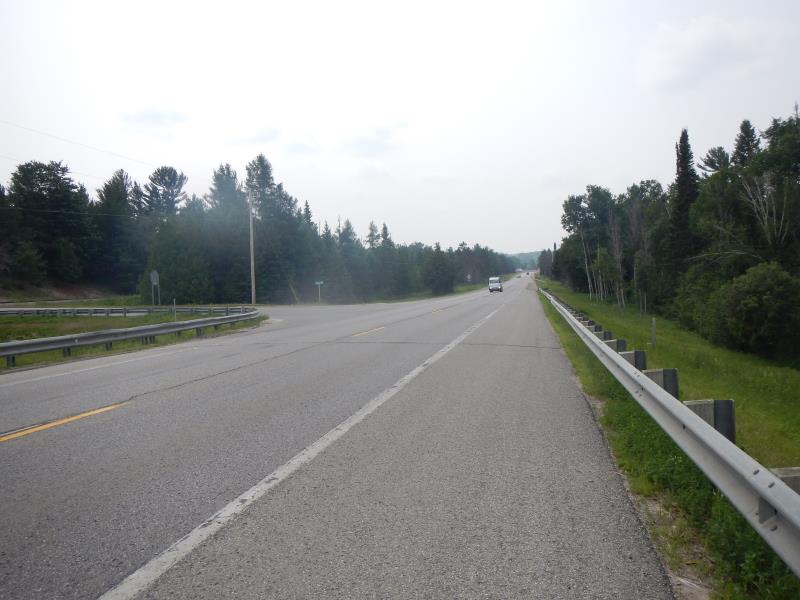
US-131
Charlevoix County
Information collected by:
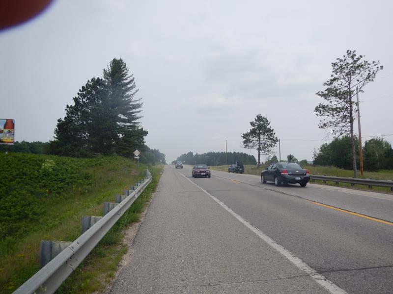
Site Location
GPS Coordinates: 45.182784167987
, -84.9145052603949
Fish Passability 0
Perch Height: 1 ft.
Total Erosion: 0.0229 tons/year
Severity: Severe
Year Inventoried: 2015
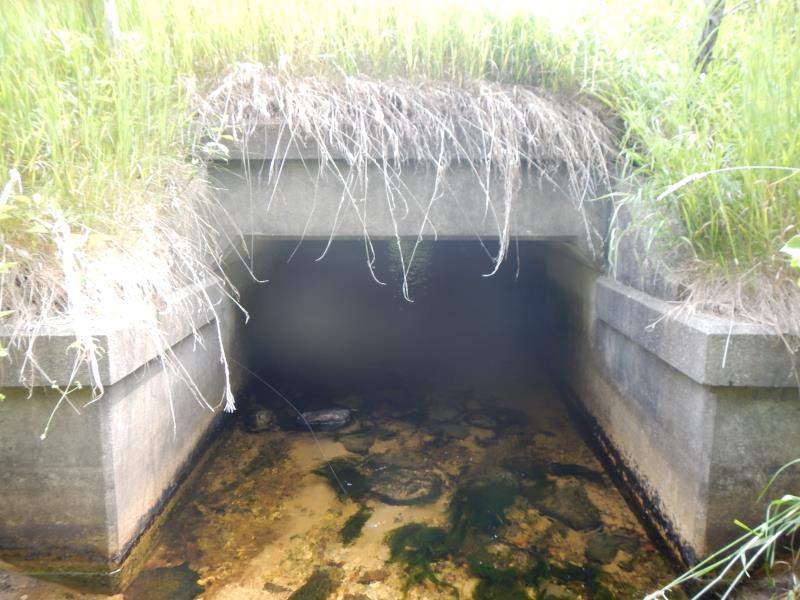
Inlet
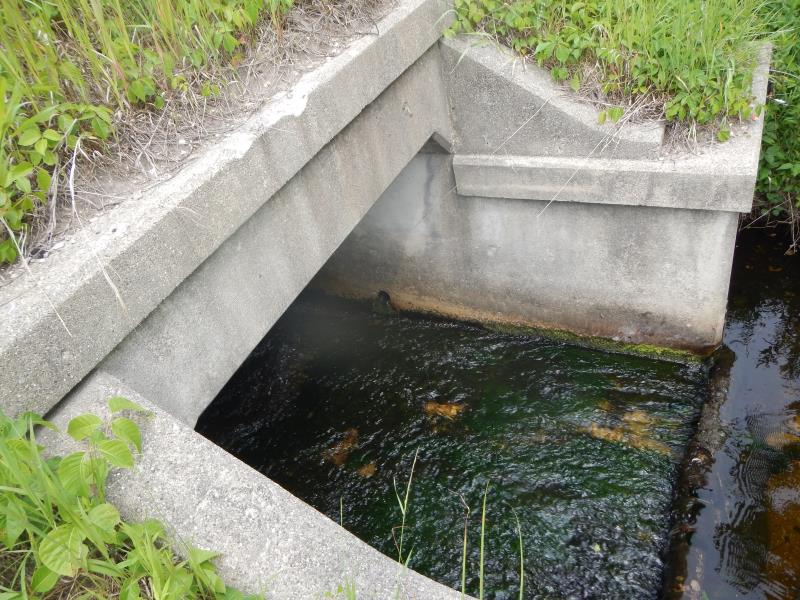
Outlet
Downstream Conditions
Road Approach - Left
Road Approach - Right
Crossing Information
Type of Crossing: culvert(s)
Number of Structures: 1
Structure Shape: Square/Rectangle
Inlet Type: Projecting
Structure Material: Concrete
Structure Substrate: Mixture
General Conditions: Good
Dimensions of Structure: Length 40 ft.
, Width 6 ft.
, Height 4.25 ft.
Perch Height: 1 ft.
Structure Inlet
Water Depth: 0.25 ft.
Embedded Depth of Structure: 11 ft.
Water Velocity*: 0.45 ft./sec.
Structure Outlet
Water Depth: 0.58 ft.
Embedded Depth of Structure: 0.5 ft.
Water Velocity*: 0.42 ft./sec.
*Water Velocities were measured 0.08 ft. below Surface
(with Meter)
Additional Comments
inlet= very perched
Stream Information
Stream Flow: Less than 1/2 Bankfull
Upstream Pond: Length 15 ft.
, Width 15 ft.
Riffle Information
Water Depth: 0.83 ft.
Bankfull Width: 9.5 ft.
Wetted Width: 9 ft.
Water Velocity: 0.7 ft./sec.
(Measured with Meter)
Dominant Substrate: Gravel
Road Information
Paved
State Road
Road Condition: Good
Road Width at Culvert: 25 ft.
Location of Low Point: Other
Runoff Path: Roadway
Embankments
Upstream
Fill Depth: 12 ft.
Slope: 1:1.5
Downstream
Fill Depth: 12 ft.
Slope: 1:1.5
Approaches
Left Approach
Length: 40 ft.
Slope: 1% to 5%
Vegetation: Partial
LS Factor: 0.292
Erosion: 0.0097 tons/year
Right Approach
Length: 50 ft.
Slope: 1% to 5%
Vegetation: Partial
LS Factor: 0.32
Erosion: 0.0132 tons/year
Erosion Information
Total Erosion at Crossing: 0.0229 tons/year
Summary Information
Fish Passability 0
Fish Passage is an area of concern for this site.
very perched/depth and flow impeded
A future visit to this site is recommended. above
�