Road Stream Crossing Site Boyne_BV-10.5
Lake Charlevoix Watershed, Schoolhouse Creek
US-131
Charlevoix County
Information collected by:
Site Location
GPS Coordinates: 45.1833599412683
, -84.9145539065654
Fish Passability 0
Perch Height: 1 ft.
Severity: Severe
Year Inventoried: 2015
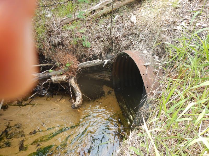
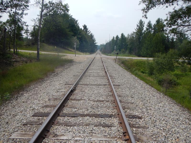
Inlet
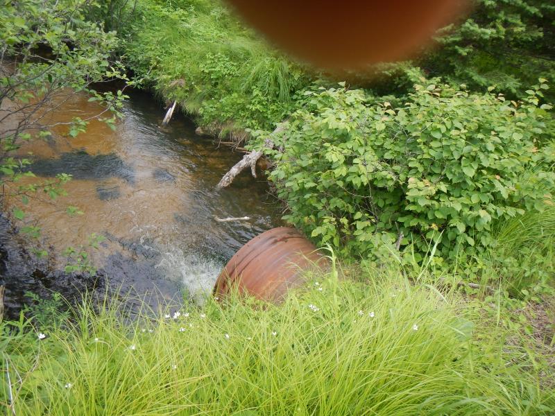
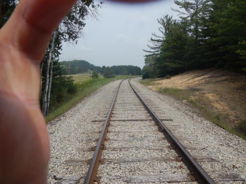
Outlet
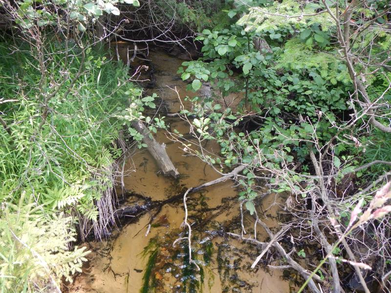
Upstream Conditions
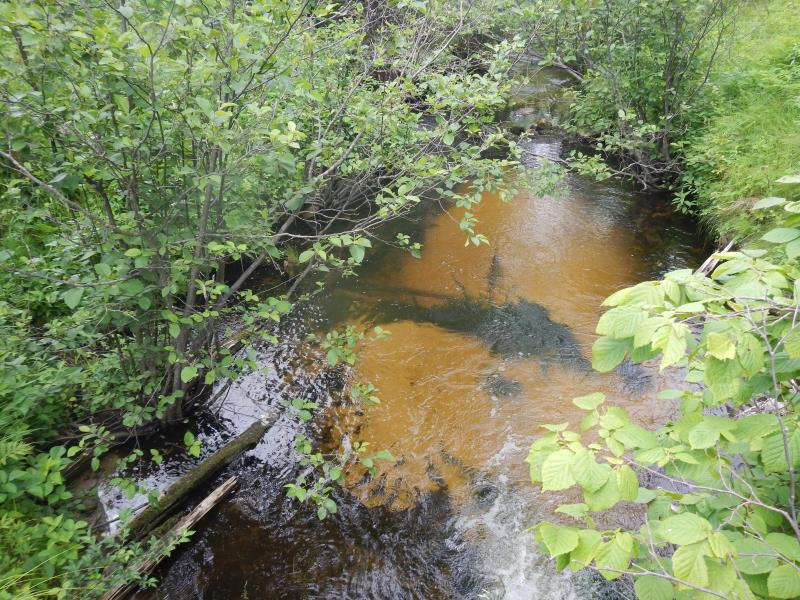
Downstream Conditions
Road Approach - Left
Road Approach - Right
Crossing Information
Type of Crossing: culvert(s)
Number of Structures: 1
Structure Shape: Round
Inlet Type: Projecting
Outlet Type: Freefall into Pool
Structure Material: Metal
Structure Substrate: None
General Conditions: Good
Structure Interior: corrugated
Dimensions of Structure: Length 50 ft.
, Width 3 ft.
, Height 3 ft.
Perch Height: 1 ft.
Structure Inlet
Water Depth: 1.08 ft.
Embedded Depth of Structure: 0.25 ft.
Water Velocity*: 1.1 ft./sec.
Structure Outlet
Water Depth: 1.08 ft.
Embedded Depth of Structure: 0 ft.
Water Velocity*: 3.1 ft./sec.
*Water Velocities were measured 0.65 ft. below Surface
(with Meter)
Additional Comments
additional crossing, not on map
Stream Information
Stream Flow: Less than 1/2 Bankfull
Scour Pool: Length 5 ft.
, Width 5 ft.
, Depth 1 ft.
Riffle Information
Water Depth: 0.83 ft.
Bankfull Width: 9.5 ft.
Wetted Width: 9 ft.
Water Velocity: 0.7 ft./sec.
Dominant Substrate: Sand
Road Information
Federal Road
Road Condition: Good
Road Width at Culvert: 20 ft.
Location of Low Point: Other
Runoff Path: Roadway
Embankments
Upstream
Fill Depth: 15 ft.
Slope: 1:1.5
Downstream
Fill Depth: 15 ft.
Slope: 1:1.5
Length: 100 ft.
Slope: Less Than 1%
Vegetation: Partial
Length: 100 ft.
Slope: Less Than 1%
Vegetation: Partial
Erosion Information
Summary Information
Fish Passability 0
Fish Passage is an area of concern for this site.
perched, waterfall (mini)
�