Road Stream Crossing Site Boyne_BV-14
Lake Charlevoix Watershed, Boyne River South Branch
Cherry Hill Rd
Charlevoix County
Information collected by:
Site Location
GPS Coordinates: 45.1610343517385
, -84.9192994645249
Owned by Private
Fish Passability 0.5
Severity: Moderate
Year Inventoried: 2015
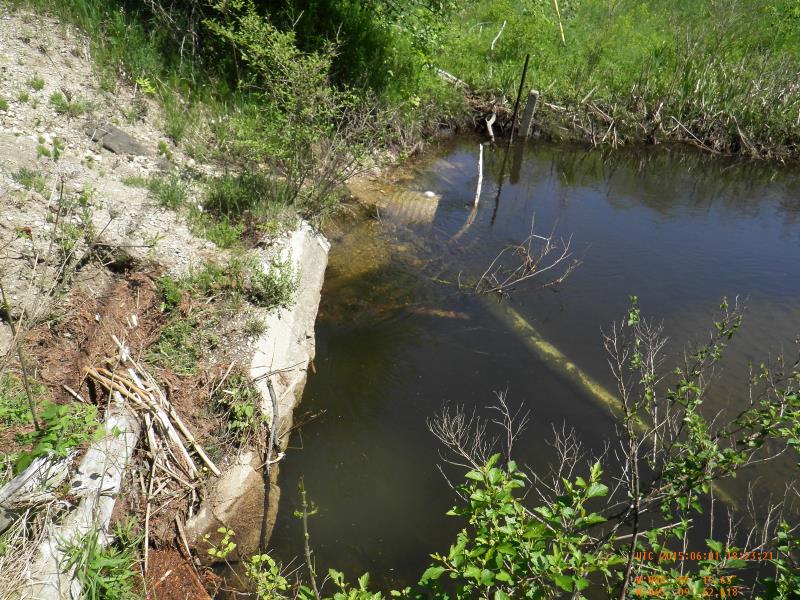
Inlet
Outlet
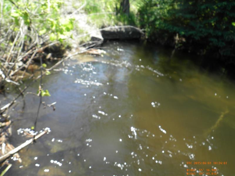
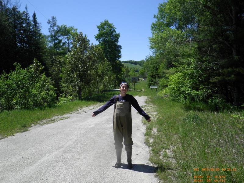
Upstream Conditions
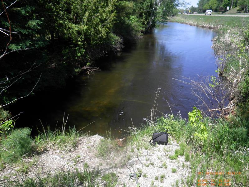
Downstream Conditions
Road Approach - Left
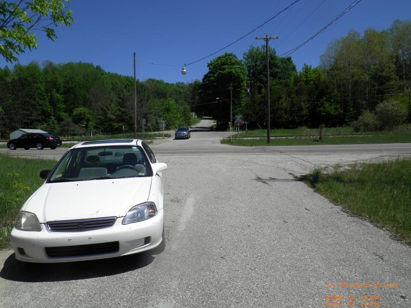
Road Approach - Right
Crossing Information
Type of Crossing: culvert(s)
Number of Structures: 2
Structure Shape: Round
Inlet Type: Projecting
Outlet Type: At Stream Grade
Structure Material: Metal
Structure Substrate: None
General Conditions: Poor
Multiple Culverts/Spans | ||||
Culvert/Span | Width | Length | Height | Material |
1 |
3.5 ft. |
56 ft. |
2.3 ft. |
Metal |
2 |
48 ft. |
|||
Structure Interior: corrugated
Dimensions of Structure: Length 56 ft.
, Width 3.5 ft.
, Height 2.3 ft.
Structure Inlet
Water Depth: 3 ft.
Embedded Depth of Structure: 0 ft.
Water Velocity*: 1.64 ft./sec.
Structure Outlet
Water Depth: 2.8 ft.
Embedded Depth of Structure: 0 ft.
Water Velocity*: 2.1 ft./sec.
*Water Velocities were measured 1.8 ft. below Surface
(with Meter)
Additional Comments
Boyne Mountain
Stream Information
Stream Flow: Less than Bankfull
Scour Pool: Length 0 ft.
, Width 0 ft.
, Depth 0 ft.
Upstream Pond: Length 0 ft.
, Width 0 ft.
, Depth 0 ft.
Riffle Information
Water Depth: 2.5 ft.
Bankfull Width: 33 ft.
Wetted Width: 31.5 ft.
Water Velocity: 1.2 ft./sec.
(Measured with Meter)
Dominant Substrate: Sand
Road Information
County Road
Road Condition: Fair
Road Width at Culvert: 17 ft.
Runoff Path: Roadway
Embankments
Upstream
Fill Depth: 5.08 ft.
Slope: 1:1.5
Downstream
Fill Depth: 15 ft.
Slope: 1:1.5
Length: 100 ft.
Slope: 1% to 5%
Vegetation: Heavy
Length: 1000 ft.
Slope: Less Than 1%
Vegetation: Partial
Erosion Information
Extent of Erosion: Moderate
Notes: from runoff. Listed above, "up between culverts"
Summary Information
Fish Passability 0.5
Erosion is an area of concern for this site.
bad erosion
A future visit to this site is recommended. culverts submerged, generally poor condition
�