Road Stream Crossing Site Boyne_BV-16
Lake Charlevoix Watershed, Boyne River South Branch
Metros Rd
Charlevoix County
Information collected by:
Site Location
GPS Coordinates: 45.1465027170484
, -84.9240465901993
Fish Passability 0.5
Total Erosion: 0.0916 tons/year
Severity: Moderate
Year Inventoried: 2015
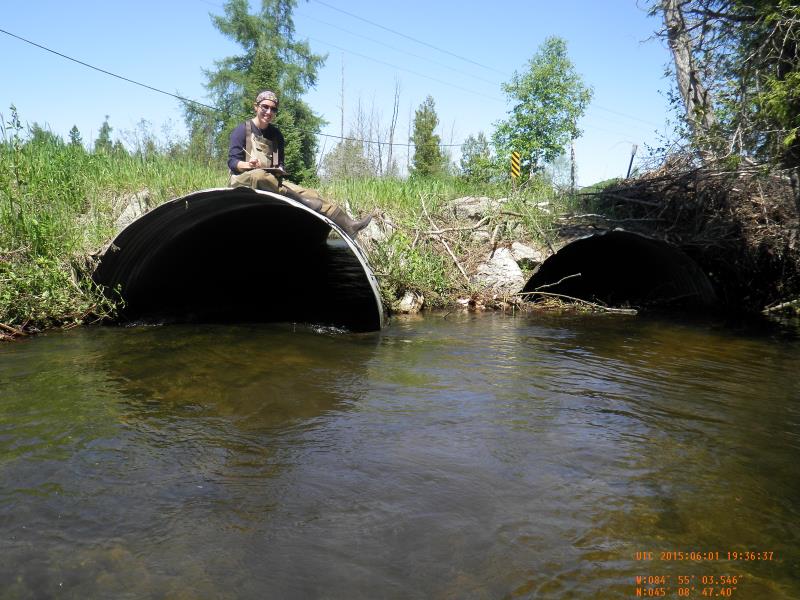
Inlet
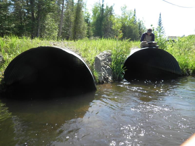
Outlet
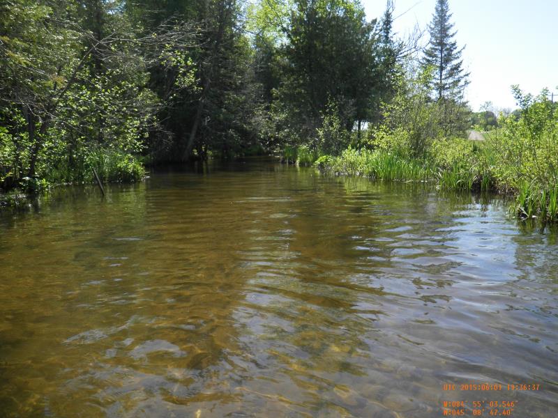
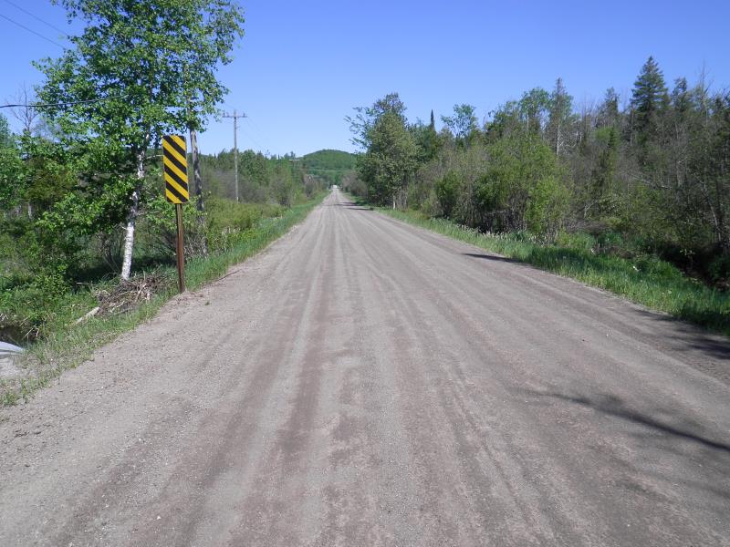
Upstream Conditions
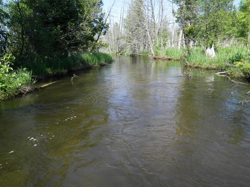
Downstream Conditions
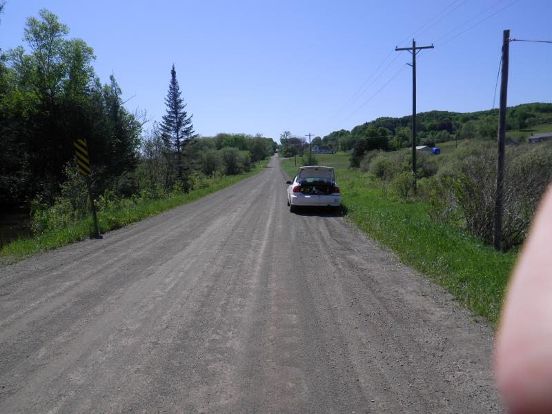
Road Approach - Left
Road Approach - Right
Crossing Information
Type of Crossing: culvert(s)
Number of Structures: 2
Structure Shape: Round
Inlet Type: Projecting
Structure Material: Metal
General Conditions: Good
Multiple Culverts/Spans | ||||
Culvert/Span | Width | Length | Height | Material |
1 |
7 ft. |
60.5 ft. |
5.1 ft. |
Metal |
2 |
7 ft. |
60.5 ft. |
Metal |
|
Structure Interior: corrugated
Dimensions of Structure: Length 60.5 ft.
, Width 7 ft.
, Height 5.1 ft.
Percentage Plugged:
Inlet: 26% to 50%
Outlet: 0%
In Pipe: 0%
Structure Inlet
Water Depth: 1.95 ft.
Embedded Depth of Structure: 0.33 ft.
Water Velocity*: 2.63 ft./sec.
Structure Outlet
Water Depth: 1.85 ft.
Embedded Depth of Structure: 0.17 ft.
Water Velocity*: 2.45 ft./sec.
*Water Velocities were measured 1 ft. below Surface
(with Meter)
Stream Information
Stream Flow: Less than Bankfull
Scour Pool: Length 8 ft.
, Width 6 ft.
, Depth 3 ft.
Upstream Pond: Length 0 ft.
, Width 0 ft.
, Depth 0 ft.
Riffle Information
Water Depth: 2.51 ft.
Bankfull Width: 2 ft.
Wetted Width: 23.08 ft.
Water Velocity: 0.95 ft./sec.
(Measured with Meter)
Dominant Substrate: Sand
Road Information
Gravel
County Road
Road Condition: Good
Road Width at Culvert: 38 ft.
Location of Low Point: At Stream
Runoff Path: Roadway
Embankments
Upstream
Fill Depth: 1 ft.
Slope: More than 1:2
Downstream
Fill Depth: 1 ft.
Slope: 1:2
Approaches
Left Approach
Length: 100 ft.
Slope: Less Than 1%
Vegetation: Partial
LS Factor: 0.05
Erosion: 0.0523 tons/year
Right Approach
Length: 75 ft.
Slope: Less Than 1%
Vegetation: Partial
LS Factor: 0.05
Erosion: 0.0393 tons/year
Erosion Information
Total Erosion at Crossing: 0.0916 tons/year
Extent of Erosion: Moderate
Notes: general erosion off sides of road
Summary Information
Fish Passability 0.5
Fish Passage is an area of concern for this site.
plugged
A future visit to this site is recommended. plugged
�