Road Stream Crossing Site Boyne_BV-18
Lake Charlevoix Watershed, Boyne River South Branch
Giggier Rd
Charlevoix County
Information collected by:
Site Location
GPS Coordinates: 45.1326611802917
, -84.9182496641139
Fish Passability 0
Perch Height: 0.67 ft.
Severity: Severe
Year Inventoried: 2015
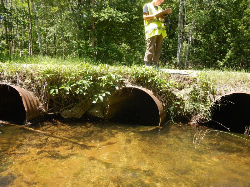
Inlet
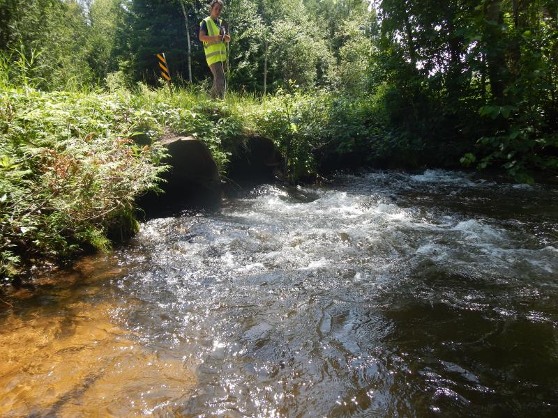
Outlet
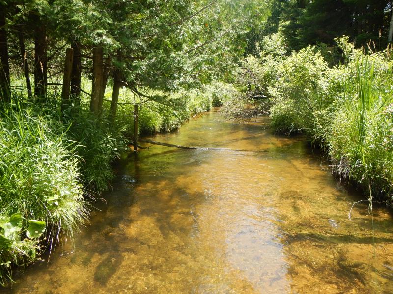
Upstream Conditions
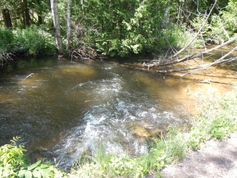
Downstream Conditions
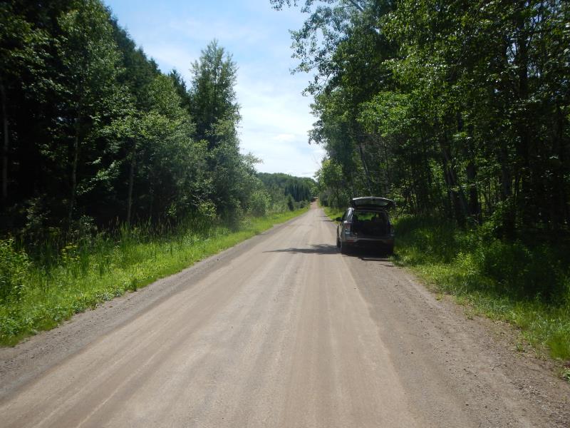
Road Approach - Left
Crossing Information
Type of Crossing: culvert(s)
Number of Structures: 3
Structure Shape: Round
Inlet Type: Projecting
Structure Material: Metal
Structure Substrate: None
General Conditions: Good
Multiple Culverts/Spans | ||||
Culvert/Span | Width | Length | Height | Material |
1 |
3.5 ft. |
25 ft. |
3.5 ft. |
Metal |
2 |
3.5 ft. |
25 ft. |
3.5 ft. |
Metal |
3 |
3.5 ft. |
25 ft. |
3.5 ft. |
Metal |
Structure Interior: corrugated
Dimensions of Structure: Length 25 ft.
, Width 3.5 ft.
, Height 3.5 ft.
Perch Height: 0.67 ft.
Structure Inlet
Water Depth: 1.5 ft.
Water Velocity*: 2.2 ft./sec.
Structure Outlet
Water Depth: 0.9 ft.
Water Velocity*: 6.15 ft./sec.
*Water Velocities were measured 0.9 ft. below Surface
(with Meter)
Stream Information
Stream Flow: Less than 1/2 Bankfull
Scour Pool: Length 30 ft.
, Width 30 ft.
, Depth 5 ft.
Riffle Information
Water Depth: 1.55 ft.
Bankfull Width: 21 ft.
Wetted Width: 21 ft.
Water Velocity: 2.15 ft./sec.
(Measured with Meter)
Dominant Substrate: Gravel
Road Information
Gravel
County Road
Road Condition: Good
Road Width at Culvert: 23 ft.
Embankments
Upstream
Fill Depth: 1 ft.
Slope: Vertical
Downstream
Fill Depth: 1.5 ft.
Slope: Vertical
Approaches
Left Approach
Length: 1000 ft.
Slope: 6% to 10%
Vegetation: Heavy
LS Factor: 2.05
Length: 1500 ft.
Slope: Less Than 1%
Vegetation: Heavy
Erosion Information
Extent of Erosion: Moderate
Erosion is occurring and corrective actions can be installed to address the problem.
Notes: above culverts upsteam; gravel, sand; hole on edge of roadway eroding into stream
Summary Information
Fish Passability 0
Fish Passage is an area of concern for this site.
both; erosion could easily get worse and outflow very fast and perched
�