Road Stream Crossing Site Boyne_BV-23
Lake Charlevoix Watershed, Moyer Creek
US-131
Charlevoix County
Information collected by:
Site Location
GPS Coordinates: 45.1225418827423
, -84.8878607195645
Fish Passability 0.5
Total Erosion: 0.8886 tons/year
Severity: Moderate
Year Inventoried: 2015
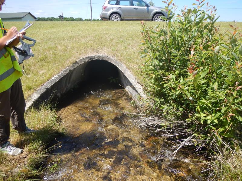
Inlet
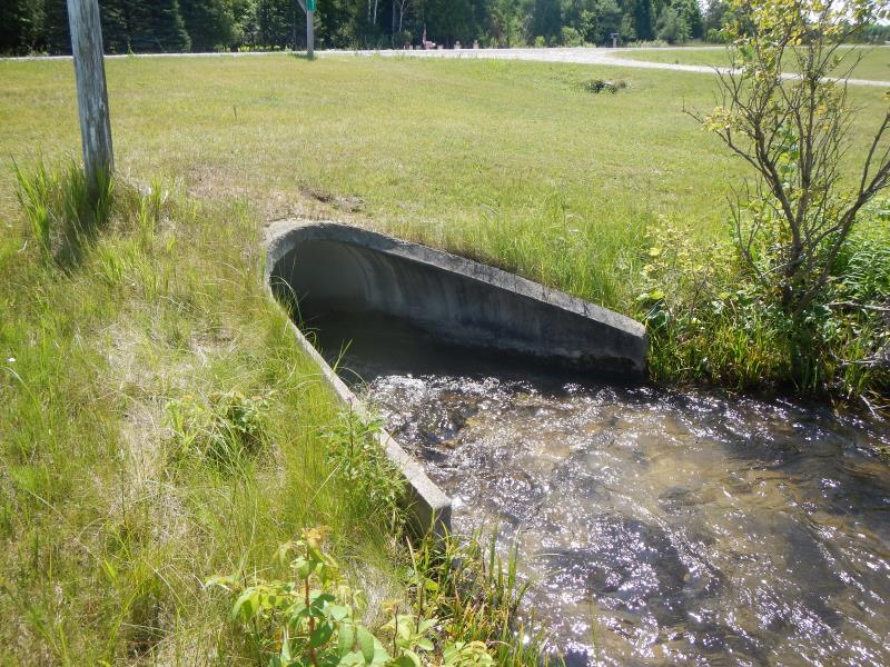
Outlet
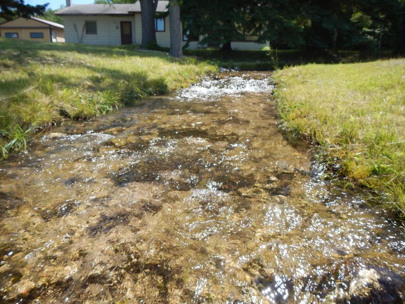
Upstream Conditions
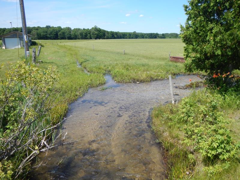
Downstream Conditions
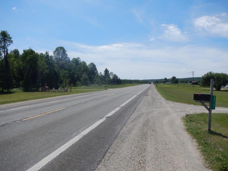
Road Approach - Left
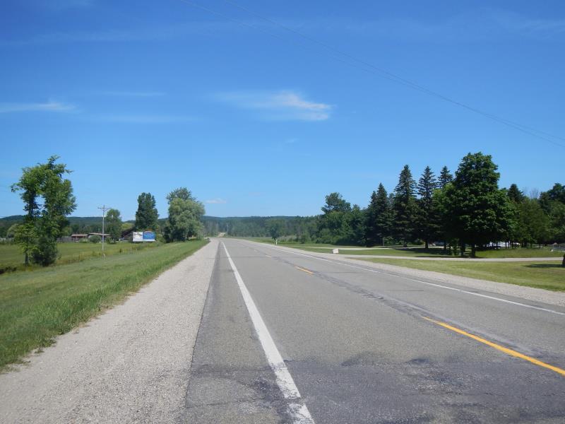
Road Approach - Right
Crossing Information
Type of Crossing: culvert(s)
Number of Structures: 1
Structure Shape: Pipe Arch
Inlet Type: Apron
Outlet Type: At Stream Grade
Structure Material: Concrete
Structure Substrate: Mixture
General Conditions: Good
Dimensions of Structure: Length 65 ft.
, Width 6 ft.
, Height 3 ft.
Structure Inlet
Water Depth: 0.65 ft.
Water Velocity*: 2.45 ft./sec.
Structure Outlet
Water Depth: 0.65 ft.
Water Velocity*: 1.9 ft./sec.
*Water Velocities were measured 0.39 ft. below Surface
(with Meter)
Stream Information
Stream Flow: Less than Bankfull
Riffle Information
Water Depth: 0.5 ft.
Bankfull Width: 7 ft.
Wetted Width: 7 ft.
Water Velocity: 2.1 ft./sec.
(Measured with Meter)
Dominant Substrate: Gravel
Road Information
Paved
State Road
Road Condition: Good
Road Width at Culvert: 30 ft.
Location of Low Point: Other
Runoff Path: Roadway
Embankments
Upstream
Fill Depth: 2 ft.
Slope: More than 1:2
Downstream
Fill Depth: 3 ft.
Slope: More than 1:2
Approaches
Left Approach
Length: 600 ft.
Slope: 1% to 5%
Vegetation: None
LS Factor: 0.96
Erosion: 0.5712 tons/year
Right Approach
Length: 400 ft.
Slope: 1% to 5%
Vegetation: None
LS Factor: 0.8
Erosion: 0.3174 tons/year
Erosion Information
Total Erosion at Crossing: 0.8886 tons/year
Extent of Erosion: Stabilized
Notes: NOTE- moved all around edge of stream
Summary Information
Fish Passability 0.5
�