Road Stream Crossing Site Boyne_BV-30
Lake Charlevoix Watershed, Boyne River South Branch
Boyne Mountain Road
Charlevoix County
Information collected by:
Site Location
GPS Coordinates: 45.1575990453324
, -84.9213588407528
Fish Passability 0
Total Erosion: 0.103 tons/year
Severity: Severe
Year Inventoried: 2015
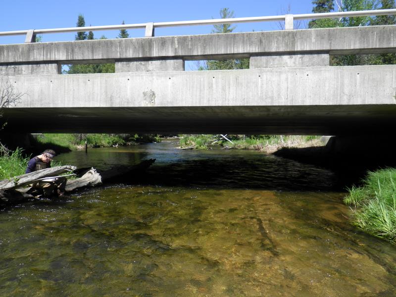
Inlet
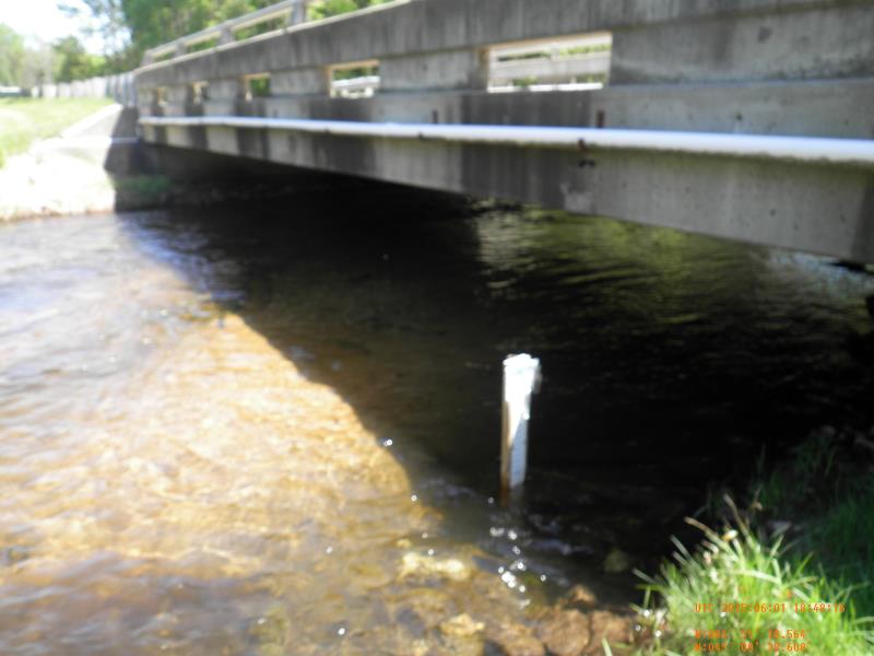
Outlet

Upstream Conditions
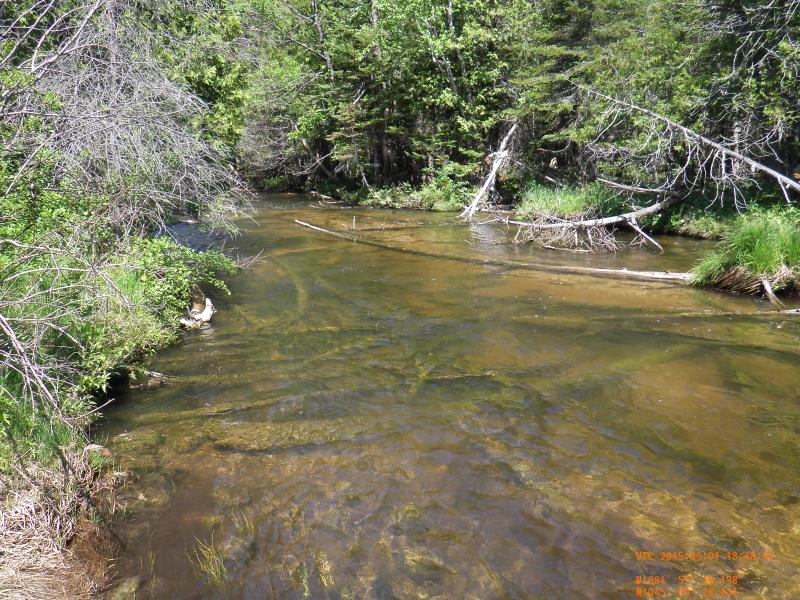
Downstream Conditions

Road Approach - Left
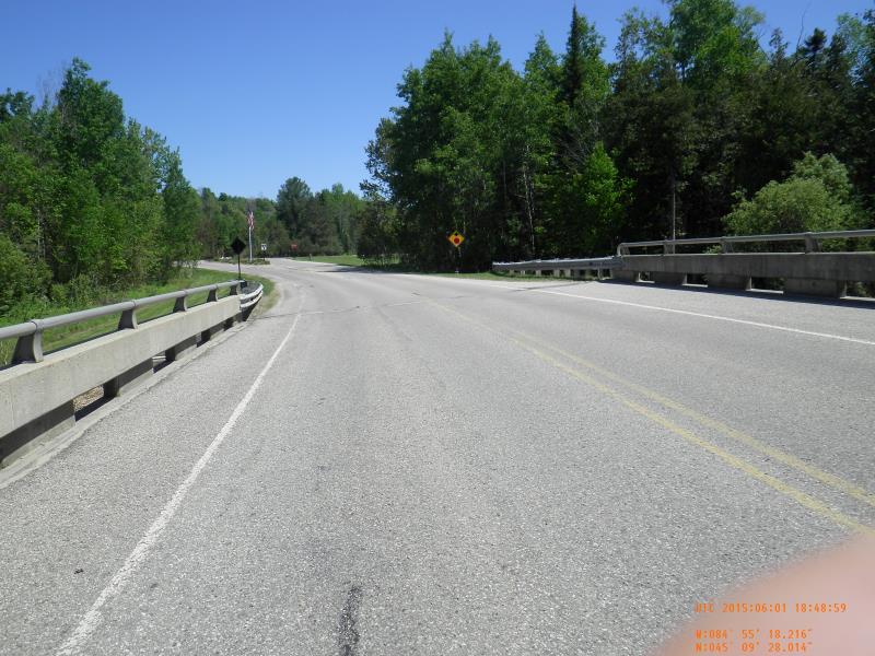
Road Approach - Right
Crossing Information
Type of Crossing: Bridge
Structure Material: Concrete
Structure Substrate: Mixture
General Conditions: Good
Structure Interior: smooth
Dimensions of Structure: Length 38 ft.
, Width 61 ft.
, Height 7 ft.
Structure Inlet
Water Depth: 1.4 ft.
Embedded Depth of Structure: 0 ft.
Water Velocity*: 3.01 ft./sec.
Structure Outlet
Water Depth: 2 ft.
Embedded Depth of Structure: 0 ft.
Water Velocity*: 1.7 ft./sec.
*Water Velocities were measured 1 ft. below Surface
(with Meter)
Stream Information
Stream Flow: Less than Bankfull
Scour Pool: Length 0 ft.
, Width 0 ft.
, Depth 0 ft.
Upstream Pond: Length 0 ft.
, Width 0 ft.
, Depth 0 ft.
Riffle Information
Water Depth: 1.75 ft.
Bankfull Width: 36.5 ft.
Wetted Width: 36.5 ft.
Water Velocity: 1.7 ft./sec.
(Measured with Meter)
Dominant Substrate: Sand
Road Information
Paved
Private Road
Road Condition: Good
Road Width at Culvert: 38 ft.
Runoff Path: Roadway
Slope: 1:1.5
Slope: 1:1.5
Approaches
Left Approach
Length: 100 ft.
Slope: 1% to 5%
Vegetation: None
LS Factor: 0.41
Erosion: 0.0515 tons/year
Right Approach
Length: 100 ft.
Slope: 1% to 5%
Vegetation: None
LS Factor: 0.41
Erosion: 0.0515 tons/year
Erosion Information
Total Erosion at Crossing: 0.103 tons/year
Summary Information
Fish Passability 0
�