Road Stream Crossing Site Boyne_BV-5
Lake Charlevoix Watershed, Schoolhouse Creek
Hetwich Road
Charlevoix County
Information collected by:
Site Location
GPS Coordinates: 45.1904034157144
, -84.8964726111644
Fish Passability 0.5
Severity: Moderate
Year Inventoried: 2015
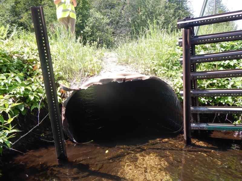
Inlet
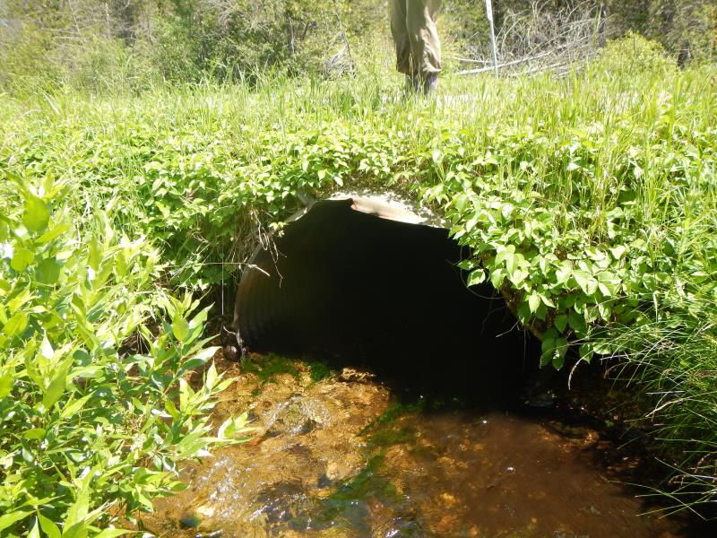
Outlet
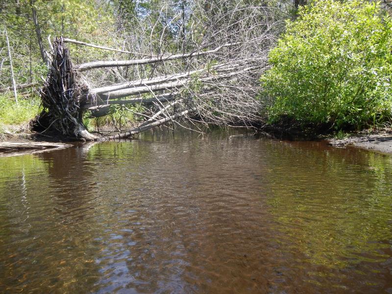
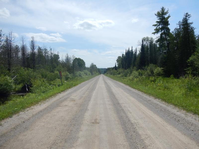
Upstream Conditions
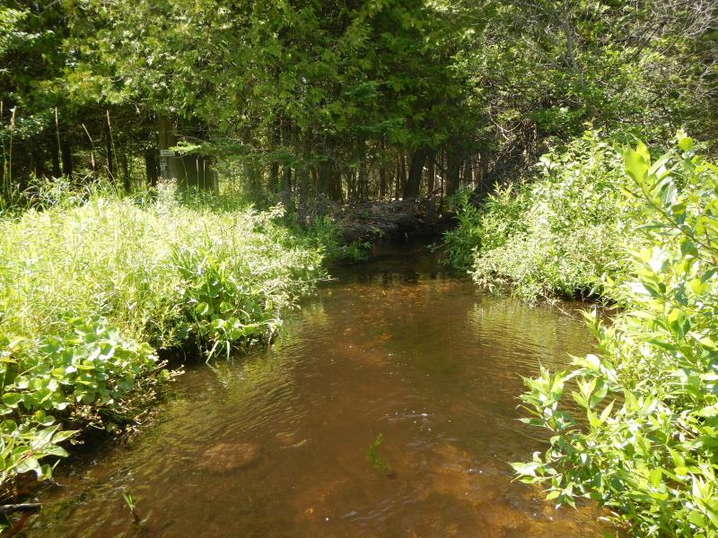
Downstream Conditions
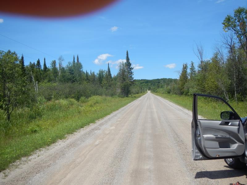
Road Approach - Left
Road Approach - Right
Crossing Information
Type of Crossing: culvert(s)
Number of Structures: 1
Structure Shape: Round
Inlet Type: Projecting
Outlet Type: At Stream Grade
Structure Material: Metal
Structure Substrate: None
General Conditions: Fair
Structure Interior: corrugated
Dimensions of Structure: Length 30 ft.
, Width 4 ft.
, Height 3 ft.
Structure Inlet
Water Depth: 0.8 ft.
Water Velocity*: 0.8 ft./sec.
Structure Outlet
Water Depth: 0.6 ft.
Water Velocity*: 2.1 ft./sec.
*Water Velocities were measured 0.48 ft. below Surface
(with Meter)
Stream Information
Stream Flow: Less than Bankfull
Upstream Pond: Length 15 ft.
, Width 20 ft.
Riffle Information
Water Depth: 0.46 ft.
Bankfull Width: 10 ft.
Wetted Width: 10 ft.
Water Velocity: 0.46 ft./sec.
Road Information
Gravel
County Road
Road Condition: Good
Road Width at Culvert: 27 ft.
Location of Low Point: At Stream
Runoff Path: Roadway
Embankments
Upstream
Fill Depth: 1 ft.
Slope: Vertical
Downstream
Fill Depth: 1 ft.
Slope: Vertical
Length: 2000 ft.
Slope: Less Than 1%
Vegetation: Partial
Length: 1500 ft.
Slope: 1% to 5%
Vegetation: Partial
Erosion Information
Notes: NOTE- cladophora
Summary Information
Fish Passability 0.5
�