Road Stream Crossing Site Boyne_BV-7
Lake Charlevoix Watershed, Boyne River North Branch
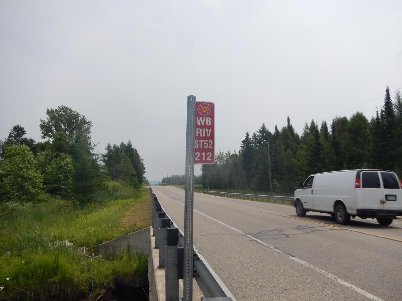
Thumb Lake Road
Charlevoix County
Information collected by:
Site Location
GPS Coordinates: 45.1751546929355
, -84.8984619251376
Fish Passability 0.9
Severity: Minor
Year Inventoried: 2015
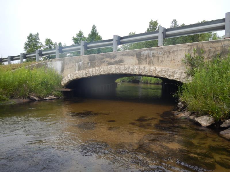
Inlet
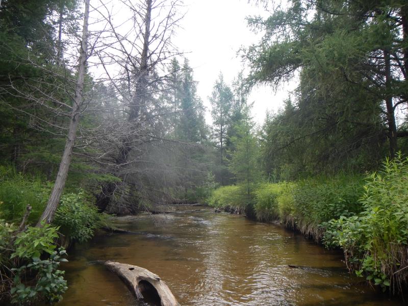
Upstream Conditions
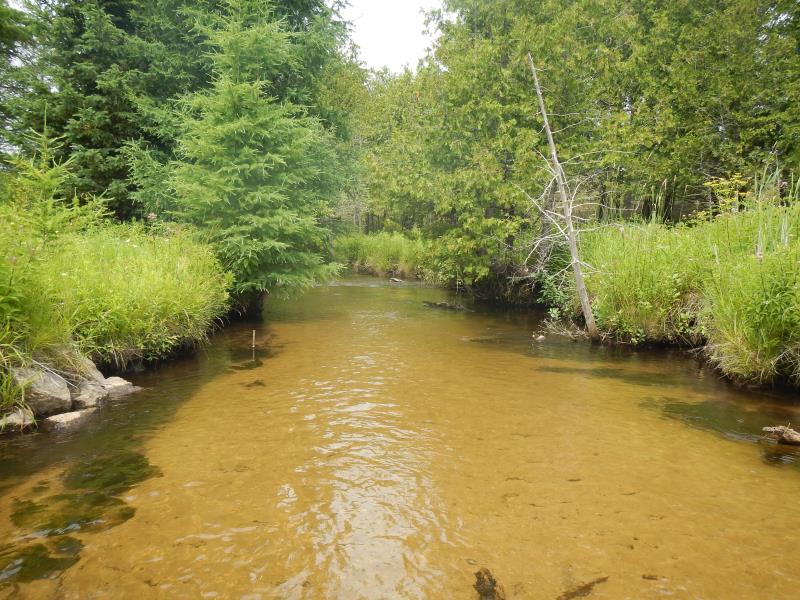
Downstream Conditions
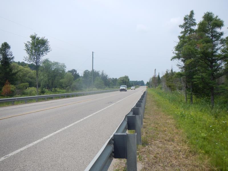
Road Approach - Left
Road Approach - Right
Crossing Information
Type of Crossing: Bridge
Structure Material: Concrete
General Conditions: Good
Dimensions of Structure: Length 46 ft.
, Width 19 ft.
, Height 4.5 ft.
Structure Inlet
Water Depth: 1.05 ft.
Water Velocity*: 1.15 ft./sec.
Structure Outlet
Water Depth: 1 ft.
Water Velocity*: 1.4 ft./sec.
*Water Velocities were measured 0.63 ft. below Surface
(with Meter)
Stream Information
Stream Flow: Less than 1/2 Bankfull
Riffle Information
Water Depth: 2 ft.
Bankfull Width: 18 ft.
Wetted Width: 17 ft.
Water Velocity: 1.7 ft./sec.
(Measured with Meter)
Dominant Substrate: Sand
Road Information
Paved
County Road
Road Condition: Good
Location of Low Point: At Stream
Length: 100 ft.
Slope: 1% to 5%
Vegetation: Partial
Length: 50 ft.
Slope: 1% to 5%
Vegetation: Partial
Erosion Information
Summary Information
Fish Passability 0.9
Erosion is an area of concern for this site.
�