Road Stream Crossing Site Boyne_BV-8
Lake Charlevoix Watershed, Boyne River
US-131
Charlevoix County
Information collected by:
Site Location
GPS Coordinates: 45.1802003368354
, -84.9142768378096
Fish Passability 0.9
Total Erosion: 0.4616 tons/year
Severity: Minor
Year Inventoried: 2015
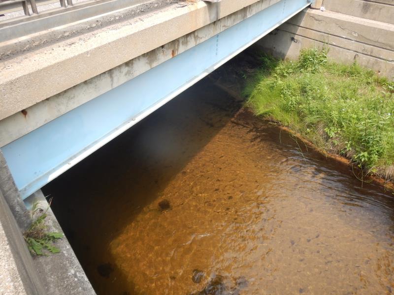
Inlet
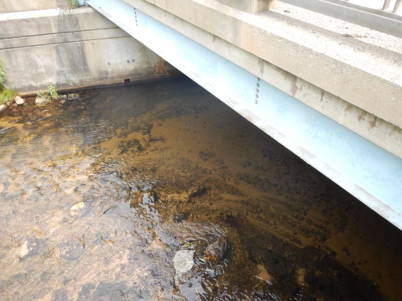
Outlet
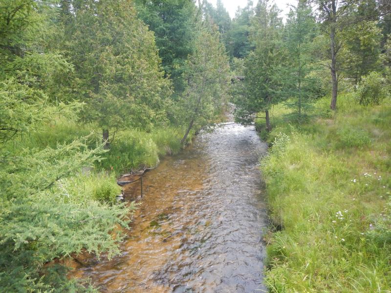
Upstream Conditions
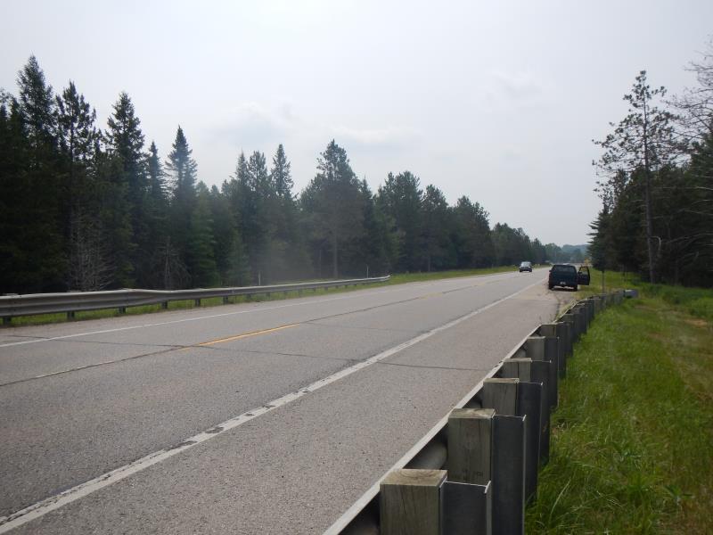
Road Approach - Left
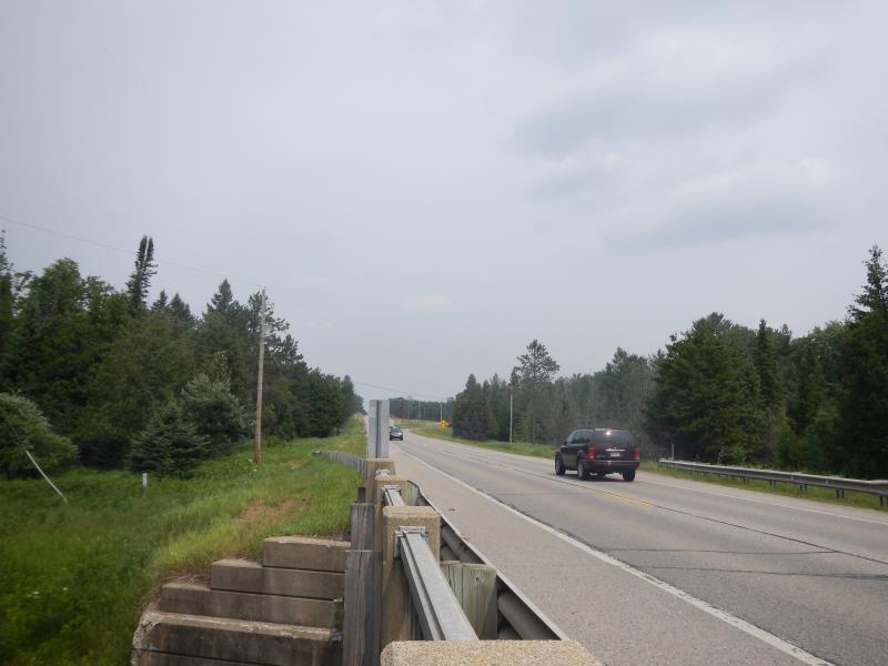
Road Approach - Right
Crossing Information
Type of Crossing: Bridge
Structure Material: Concrete
General Conditions: Good
Dimensions of Structure: Length 25 ft.
, Width 27 ft.
, Height 8.75 ft.
Structure Inlet
Water Depth: 19.42 ft.
Water Velocity*: 0.77 ft./sec.
Structure Outlet
Water Depth: 19.42 ft.
Water Velocity*: 0.96 ft./sec.
(with Meter)
Stream Information
Stream Flow: Less than 1/2 Bankfull
Riffle Information
Water Depth: 8 ft.
Bankfull Width: 18 ft.
Wetted Width: 18 ft.
Water Velocity: 2.58 ft./sec.
Dominant Substrate: Sand
Road Information
Paved
State Road
Road Condition: Good
Road Width at Culvert: 25 ft.
Location of Low Point: At Stream
Runoff Path: Roadway
Slope: 1:2
Slope: 1:2
Approaches
Left Approach
Length: 500 ft.
Slope: Less Than 1%
Vegetation: Partial
LS Factor: 0.055
Erosion: 0.0227 tons/year
Right Approach
Length: 300 ft.
Slope: 6% to 10%
Vegetation: Partial
LS Factor: 1.77
Erosion: 0.4388 tons/year
Erosion Information
Total Erosion at Crossing: 0.4616 tons/year
Summary Information
Fish Passability 0.9
�